MyTopo
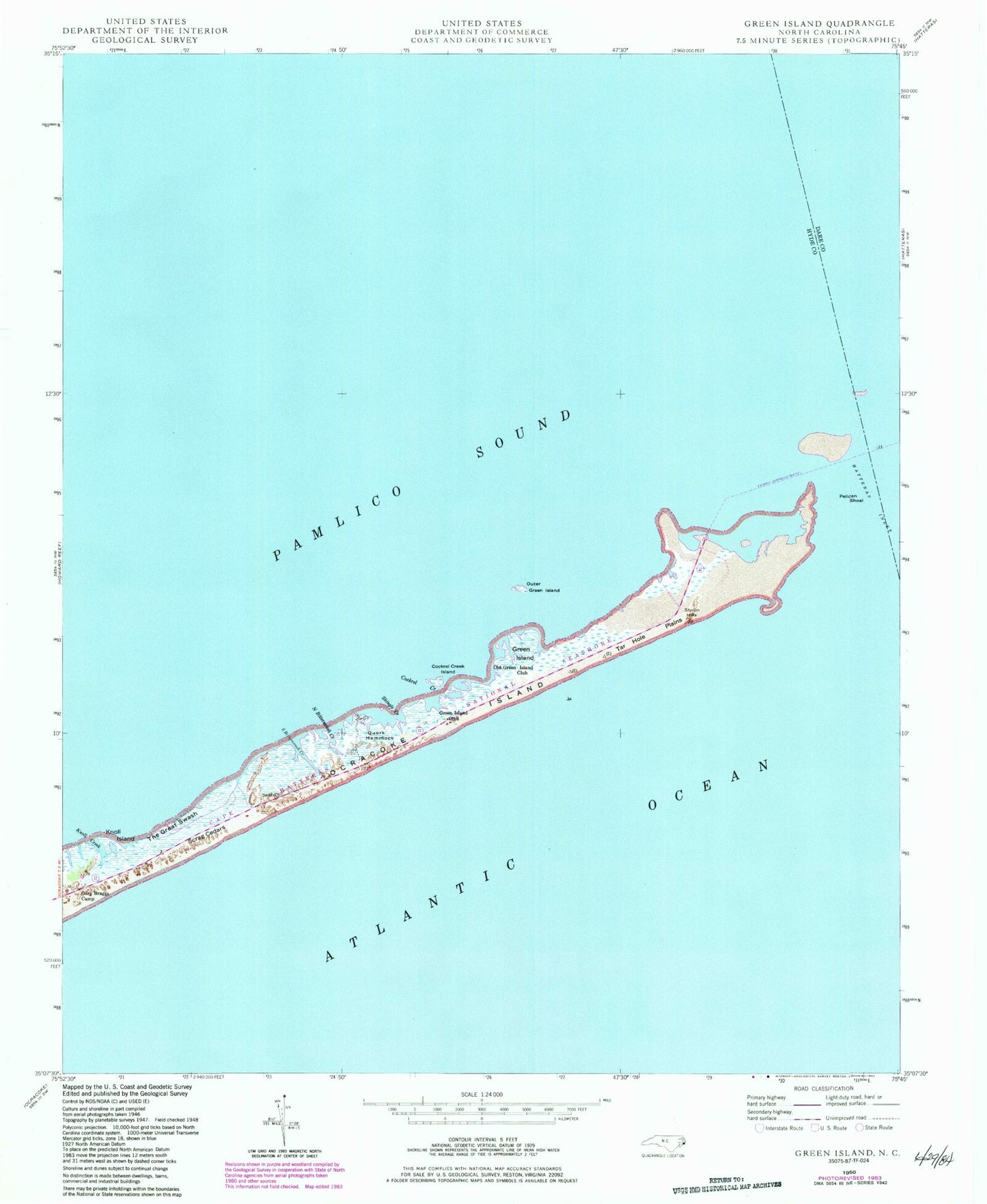
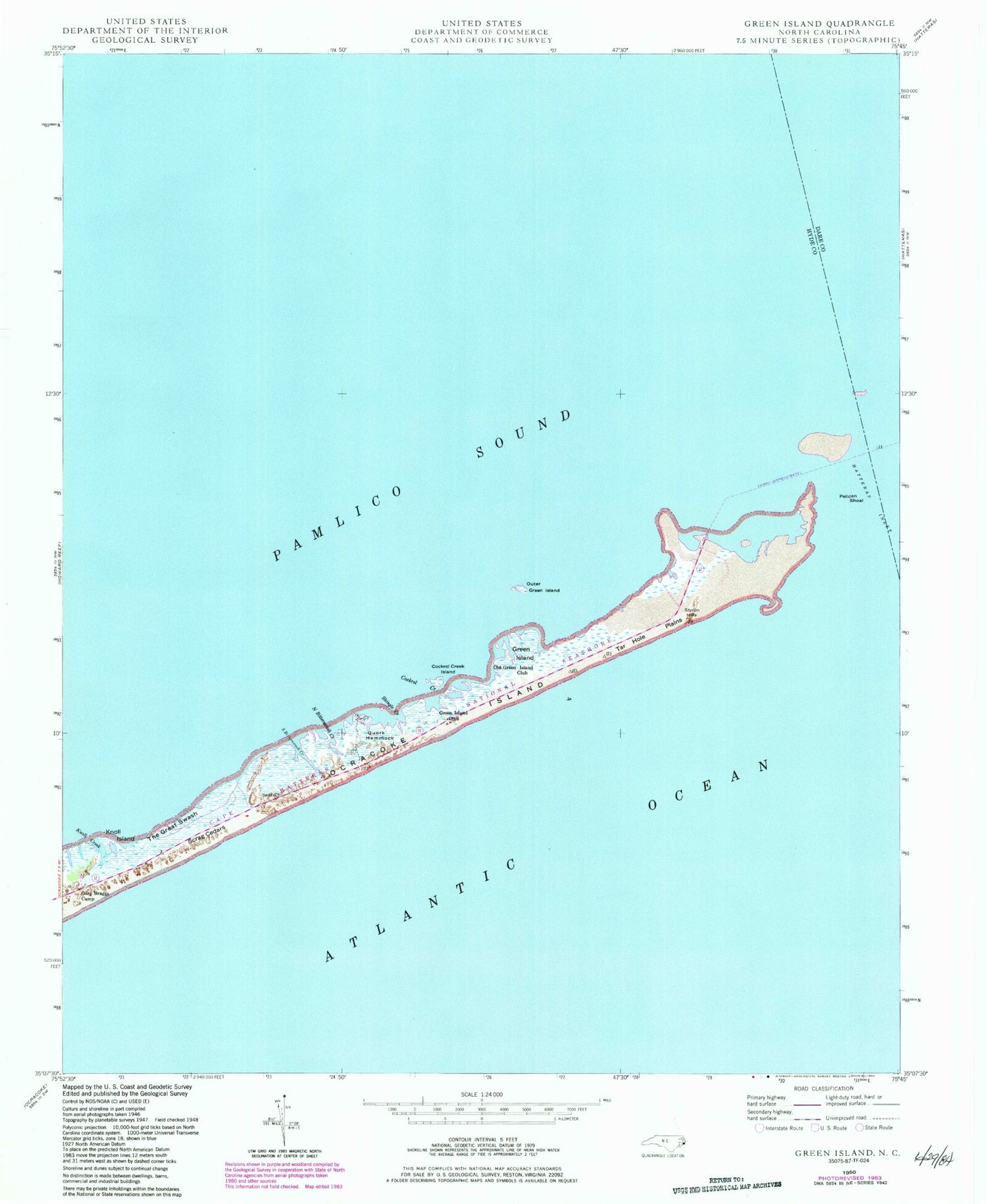
Classic USGS Green Island North Carolina 7.5'x7.5' Topo Map
Couldn't load pickup availability
Historical USGS topographic quad map of Green Island in the state of North Carolina. Map scale may vary for some years, but is generally around 1:24,000. Print size is approximately 24" x 27"
This quadrangle is in the following counties: Dare, Hyde.
The map contains contour lines, roads, rivers, towns, and lakes. Printed on high-quality waterproof paper with UV fade-resistant inks, and shipped rolled.
Contains the following named places: Cockrel Creek, Cockrel Creek Island, Gary Braggs Camp, Green Island, Green Island Club, Hatteras Inlet, Knoll Creek, Knoll Island, Legged Lump, North Bitterswash Creek, Old Green Island Club, Outer Green Island, Pelican Shoal, Point Beach, Quork Hammock, Scrag Cedars, Shingle Creek, South Bitterswash Creek, Styron Hills, Tar Hole Inlet, Tar Hole Plains, Terrapin Shoal, The Great Swash


