MyTopo
Classic USGS Green Lake Wisconsin 7.5'x7.5' Topo Map
Couldn't load pickup availability
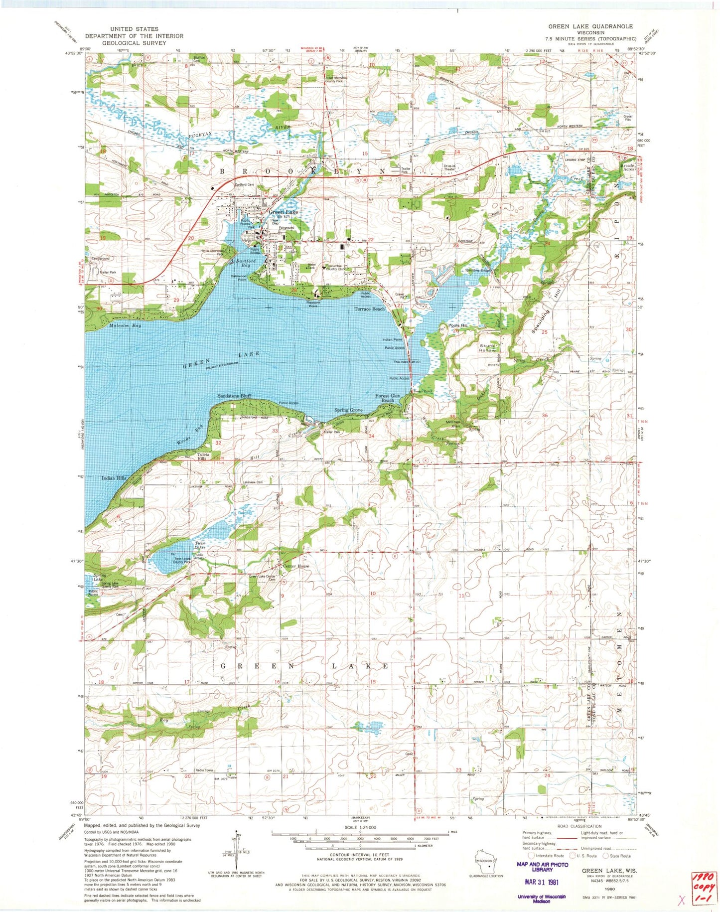
Historical USGS topographic quad map of Green Lake in the state of Wisconsin. Map scale may vary for some years, but is generally around 1:24,000. Print size is approximately 24" x 27"
This quadrangle is in the following counties: Fond du Lac, Green Lake.
The map contains contour lines, roads, rivers, towns, and lakes. Printed on high-quality waterproof paper with UV fade-resistant inks, and shipped rolled.
Contains the following named places: Apple Grove School, Big Twin Lake, Bluffton Cemetery, Bluffton School, Center House, City of Green Lake, Dakin Creek, Dakin School, Dartford Bay, Dartford Cemetery, Dartford Mill Pond, Federated Church of Green Lake, Forest Glen Beach, Forest Ridge School, Green Lake, Green Lake - Brooklyn Fire Department, Green Lake 115, Green Lake Area EMS Unit, Green Lake Campground, Green Lake Center Cemetery, Green Lake County Jail, Green Lake County Sheriff's Office, Green Lake Elementary School, Green Lake High School, Green Lake Police Department, Green Lake Post Office, Green Lake Station, Green Lake Wastewater Treatment Plant, Hattie Sherwood Park, Hill Creek, Indian Hills, Indian Point, J & L Aviation, Kastenschmit Farms, Lakeview Cemetery, Lakeview School, Little Twin Lake, Malcolm Bay, Maple Lawn School, Mitchell Glen, Oakwood Point, Our Lady of the Lake Catholic Church, Peace Evangelical Lutheran Church, Peace Lutheran School, Pleasant Point, Pools Hill, Puchyan Mill Race, R and R Pit, Reich Mobile Home Park, Sandstone Bluff, Schmuhl Farms, School Number 3, School Number 5, Searles School, Sherwood Forest, Silver Creek, Skunk Hollow, Spaulding Bridge, Spaulding Hill, Spring Grove, Spring Lake County Park, Swan Point, Terrace Beach, Town of Brooklyn, Town of Green Lake, Tuleta Hills, Tuscumbia Country Club, Twin Lakes, Twin Lakes County Park, Upper Green Lake Dam, Welsh Hill School, White Creek, Woods Bay, Zobel Memorial County Park, ZIP Code: 54941


