MyTopo
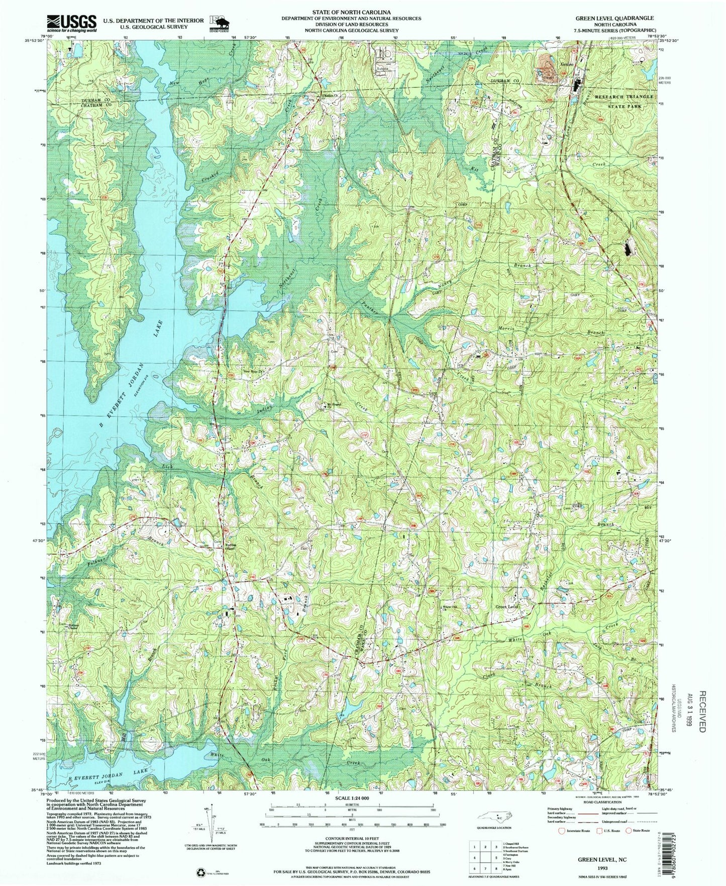
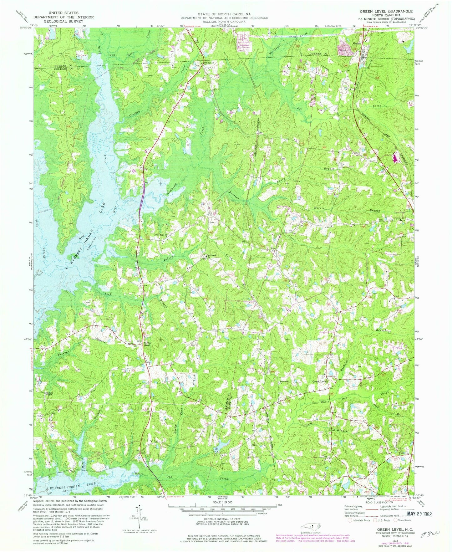
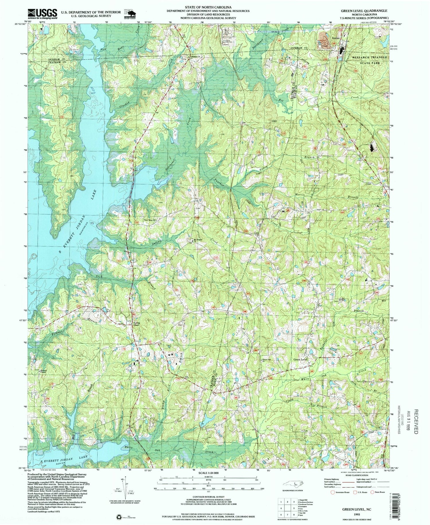
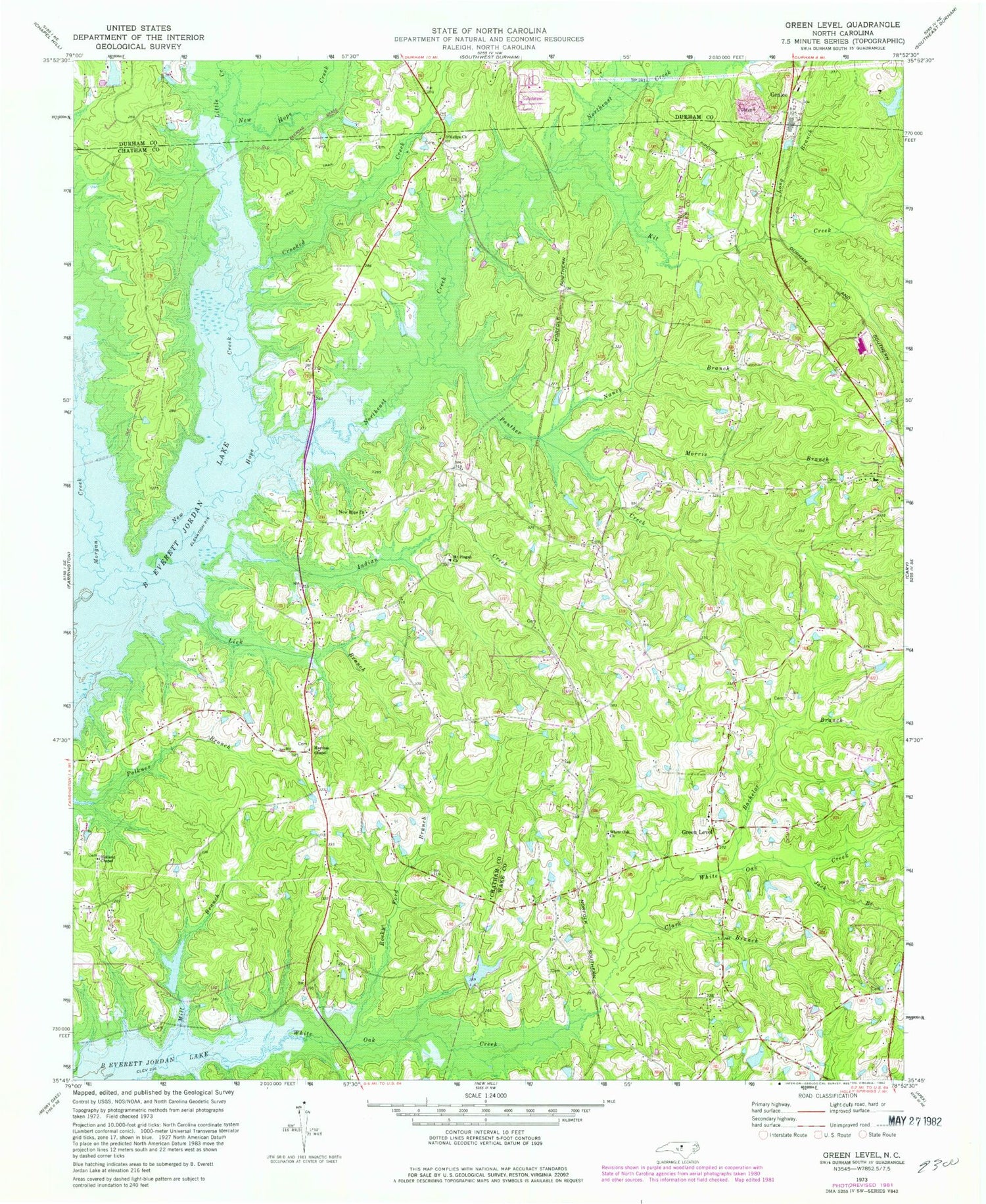
Classic USGS Green Level North Carolina 7.5'x7.5' Topo Map
Couldn't load pickup availability
Historical USGS topographic quad map of Green Level in the state of North Carolina. Typical map scale is 1:24,000, but may vary for certain years, if available. Print size: 24" x 27"
This quadrangle is in the following counties: Chatham, Durham, Wake.
The map contains contour lines, roads, rivers, towns, and lakes. Printed on high-quality waterproof paper with UV fade-resistant inks, and shipped rolled.
Contains the following named places: Bachelor Branch, Clark Branch, Crooked Creek, Holland Chapel, Indian Creek, Jack Branch, Kit Creek, Lick Branch, Little Creek, Long Branch, Marthas Chapel United Church of Christ, Mill Branch, Morgan Creek, Morris Branch, Mount Pisgah Missionary Baptist Church, Nancy Branch, New Hope Church, New Hope Creek, Northeast Creek, Panther Creek, Rocky Ford Branch, White Oak Church, Castlebury Lake Dam, Castlebury Lake, Durham Wildlife Club Lake Dam, Durham Wildlife Club Lake, Bay Meadows Lake Dam, Bay Meadows Lake, Genlee, Green Level, Township of White Oak, Kellys Store (historical), O'Kellys Church, Research Triangle State Park, Cary Fire Department Station 7, Morrisville Fire and Rescue Department Station 3, Cary Fire Department Station 8


