MyTopo
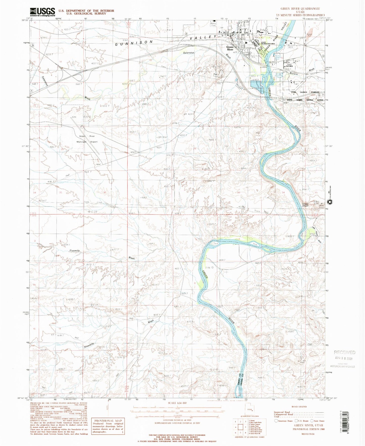
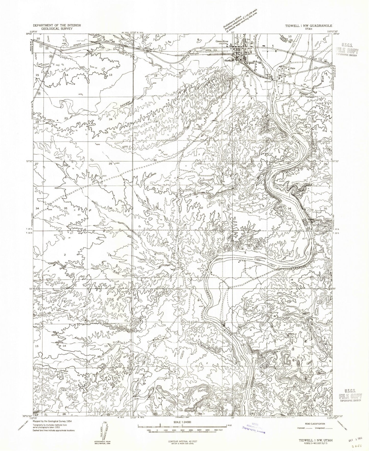
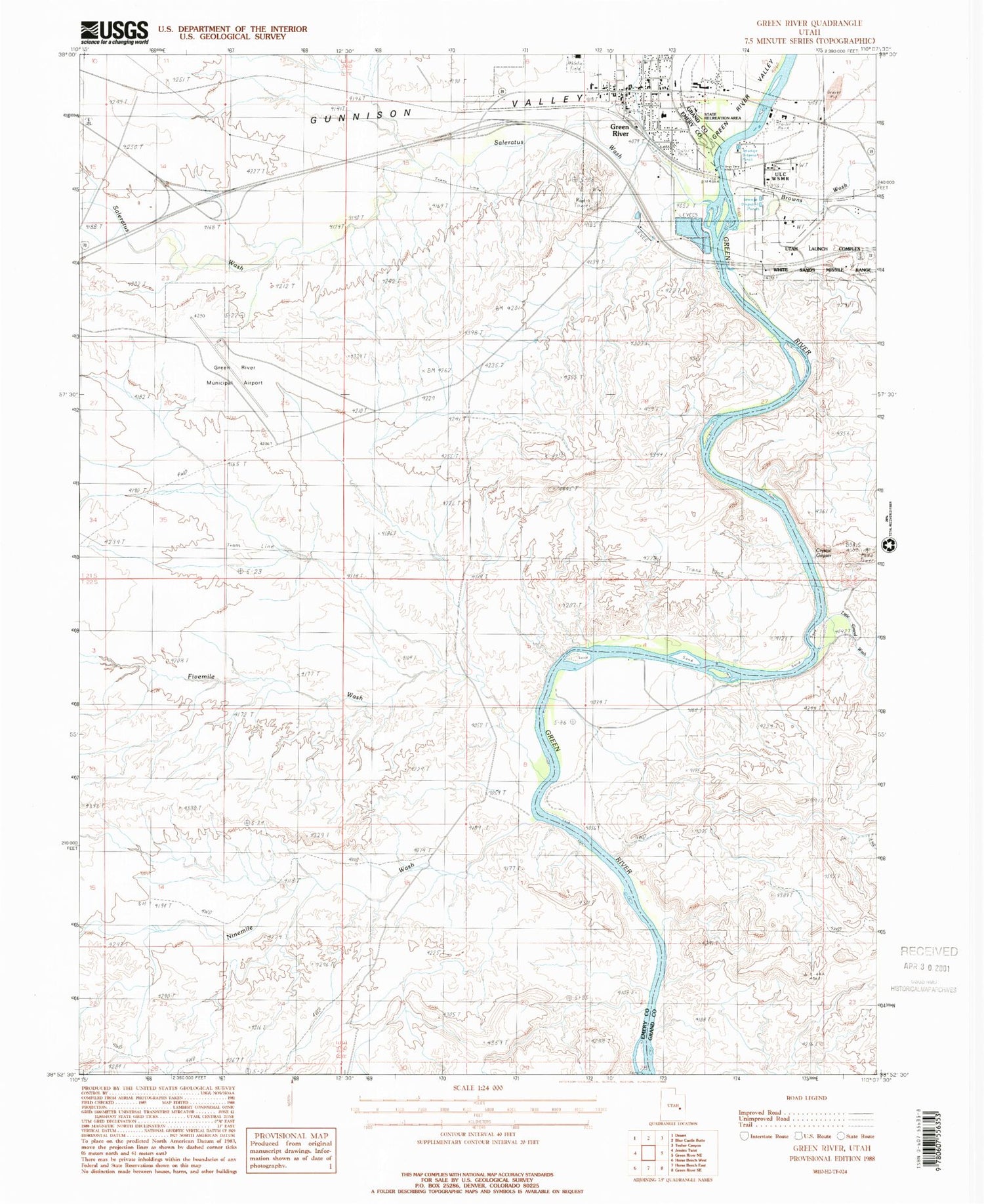
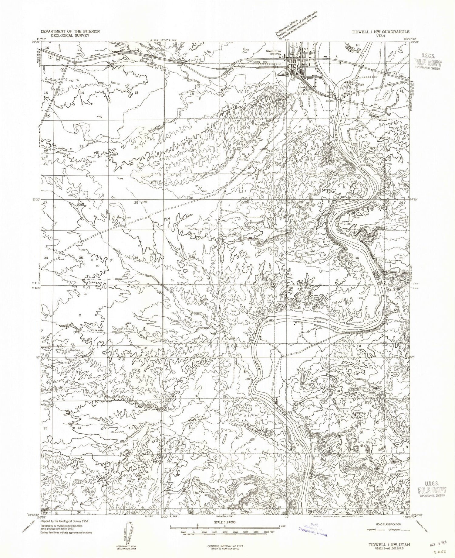
Classic USGS Green River Utah 7.5'x7.5' Topo Map
Couldn't load pickup availability
Historical USGS topographic quad map of Green River in the state of Utah. Typical map scale is 1:24,000, but may vary for certain years, if available. Print size: 24" x 27"
This quadrangle is in the following counties: Emery, Grand.
The map contains contour lines, roads, rivers, towns, and lakes. Printed on high-quality waterproof paper with UV fade-resistant inks, and shipped rolled.
Contains the following named places: Browns Wash, Crystal Geyser, Fivemile Wash, Green River, Little Grand Wash, Ninemile Wash, Green River Airport (historical), Saleratus Wash, Green River State Recreation Area, Book Cliff Elementary School, Green River Heliport, Green River Campground, First Baptist Church, Green River Bible Church, The Church of Jesus Christ of Latter Day Saints, Elgin, Green River Post Office, Green River State Park, City of Green River, Green River Pioneer Cemetery, Green River Municipal Airport, Green River Fire Department, Emery County Sheriffs Office Green River, Utah Highway Patrol Section 9 Green River Office, Emery County Ambulance - Green River