MyTopo
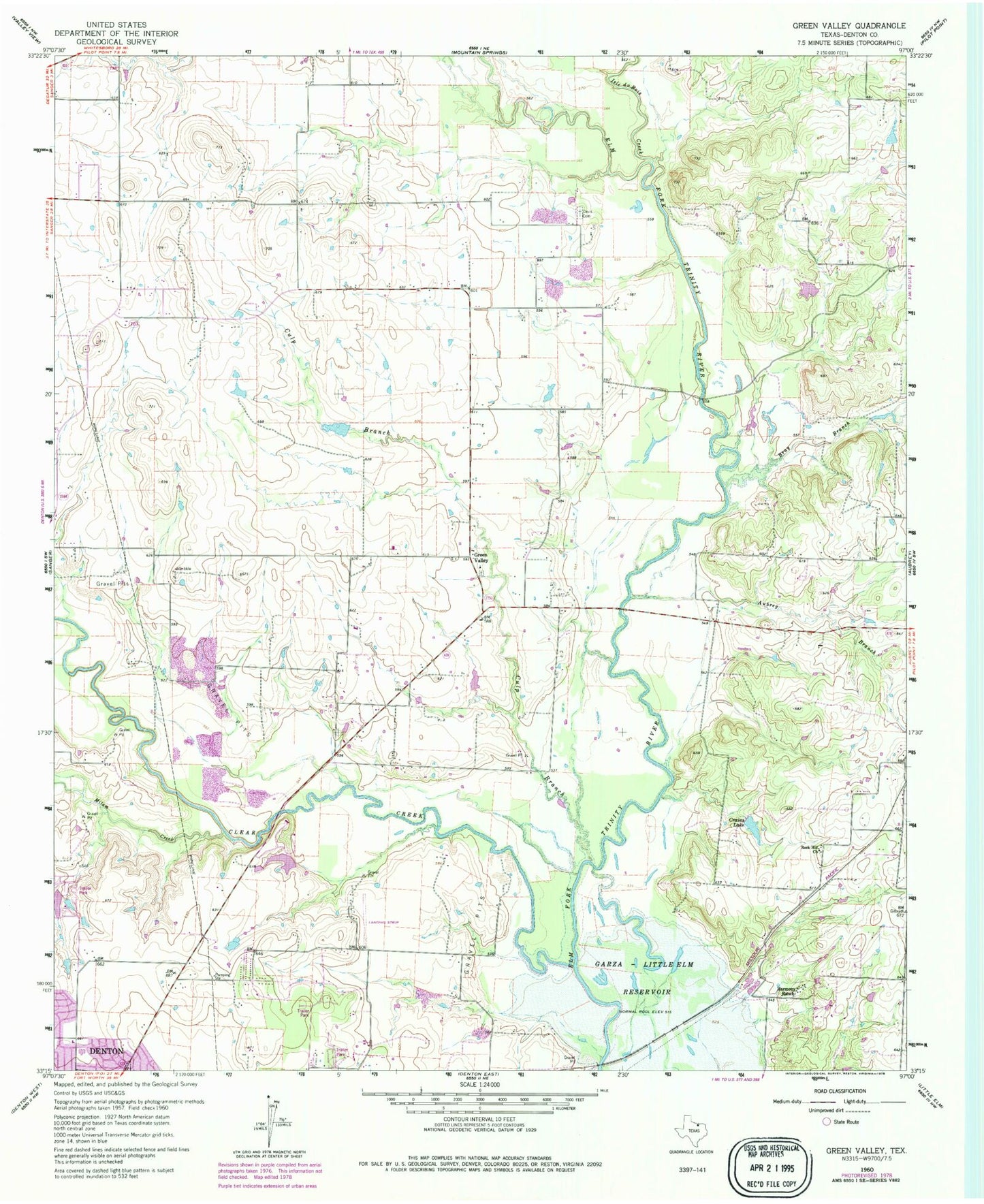
Classic USGS Green Valley Texas 7.5'x7.5' Topo Map
Couldn't load pickup availability
Historical USGS topographic quad map of Green Valley in the state of Texas. Map scale may vary for some years, but is generally around 1:24,000. Print size is approximately 24" x 27"
This quadrangle is in the following counties: Denton.
The map contains contour lines, roads, rivers, towns, and lakes. Printed on high-quality waterproof paper with UV fade-resistant inks, and shipped rolled.
Contains the following named places: Aubrey Branch, Bray Branch, Campbell Field, Clear Creek, Crains Lake, Culp Branch, Davis Cemetery, Evans Lake, Evans Lake Dam, First Church of the Nazarene, Ginnings Elementary School, Green Valley, Green Valley Cemetery, Harmony Ranch, Hartlee Field, Hodge Elementary School, Isle du Bois Creek, McCallum Lake, McCallum Lake Dam, Milam Creek, Ray Roberts Greenbelt Corridor Trail, Ray Roberts Lake, Ray Roberts Lake State Recreation Area - Culp Branch Unit, Rock Hill Church, Smither Field, Twin Lakes Number 1, Vultures Row Airport, Warschun Ranch Airport, Windy Hill Airport