MyTopo
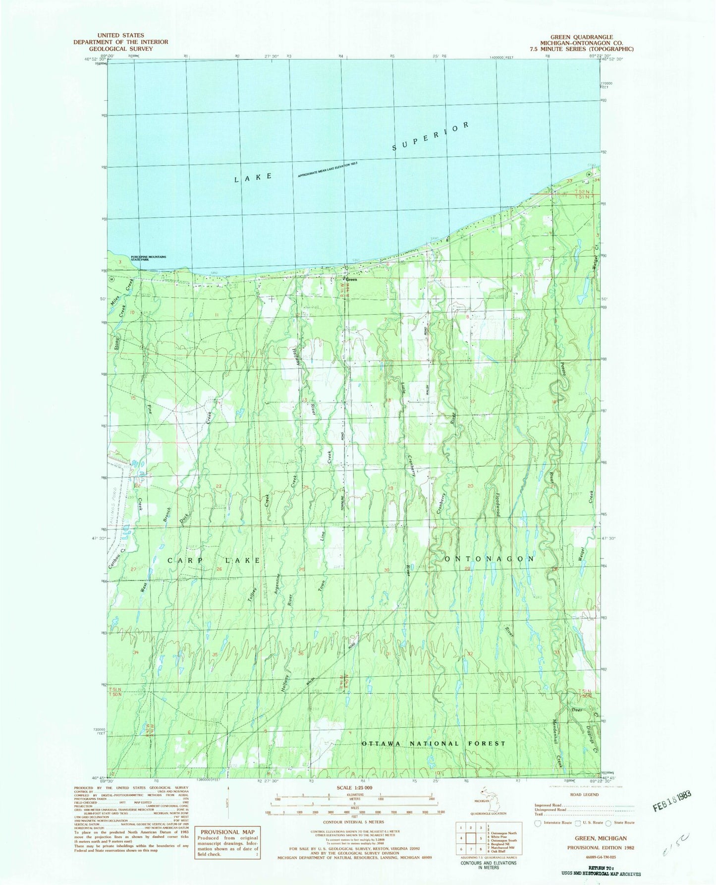
Classic USGS Green Michigan 7.5'x7.5' Topo Map
Couldn't load pickup availability
Historical USGS topographic quad map of Green in the state of Michigan. Map scale may vary for some years, but is generally around 1:24,000. Print size is approximately 24" x 27"
This quadrangle is in the following counties: Ontonagon.
The map contains contour lines, roads, rivers, towns, and lakes. Printed on high-quality waterproof paper with UV fade-resistant inks, and shipped rolled.
Contains the following named places: Argentine Creek, Caribou Creek, Carp Lake School, Cranberry River, Cunningham Creek, Deer Creek, Diggings Creek, Duck Creek, East Branch Duck River, Finnish Evangelical Lutheran Cemetery, Floodwood River, Green, Green Park Picnic Area, Green Post Office, Halfway Creek, Little Cranberry River, Mendenhall Creek, Miles Creek, Pine Creek, Potato River, Stony Creek, Tolfrey Creek, Town Line Creek, Weigel Creek, West Branch Duck Creek