MyTopo
Classic USGS Greencastle Indiana 7.5'x7.5' Topo Map
Couldn't load pickup availability
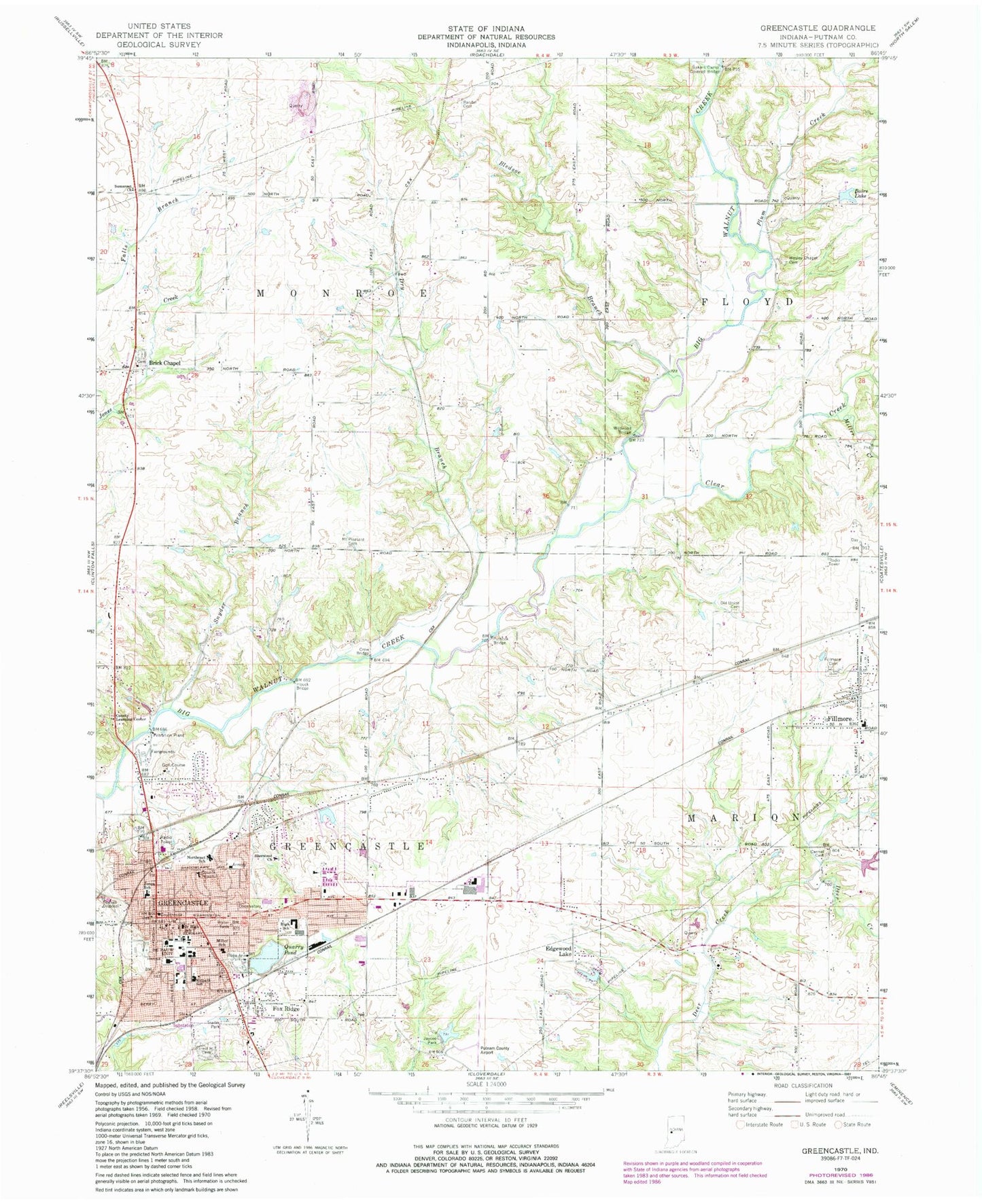
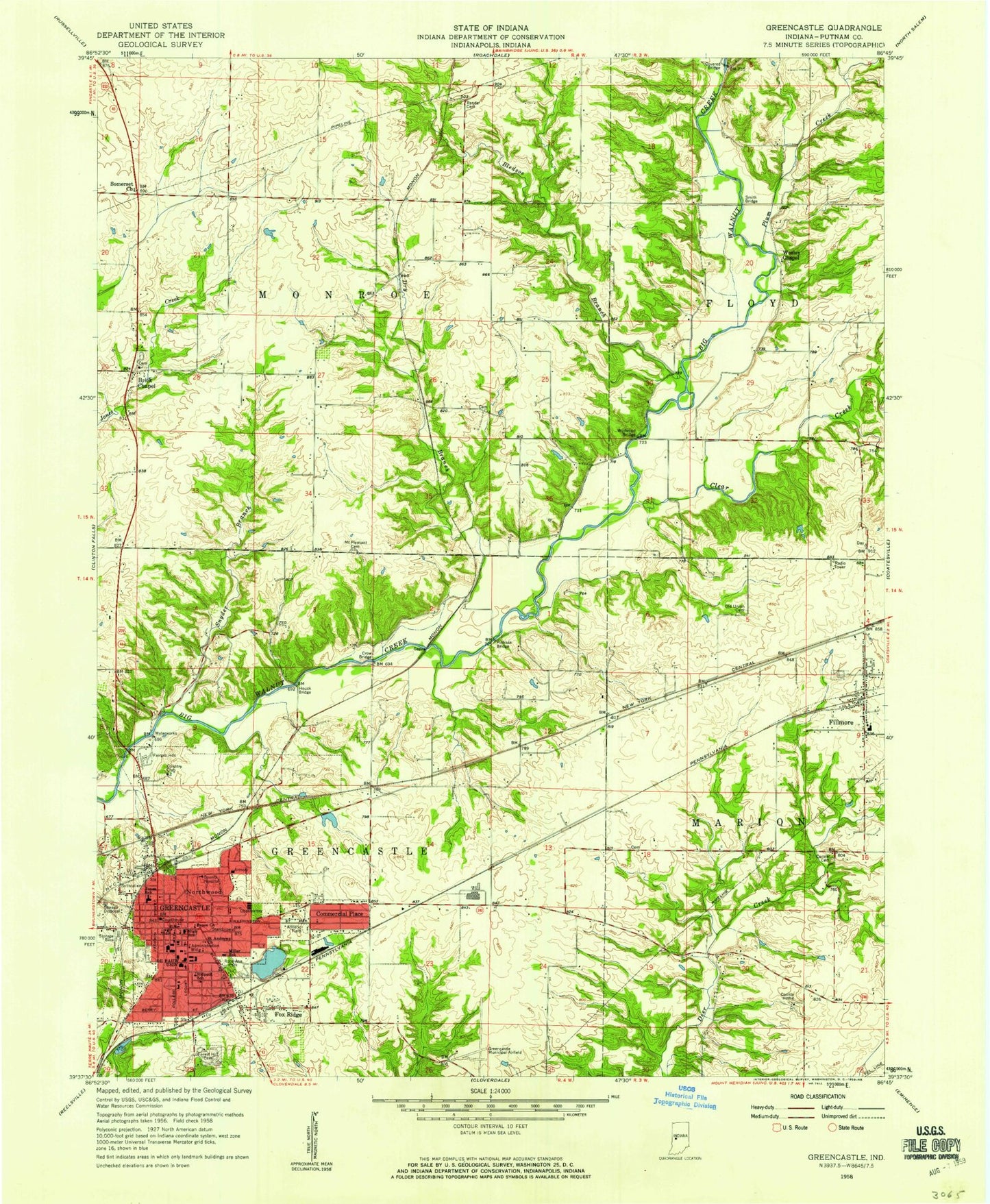
Historical USGS topographic quad map of Greencastle in the state of Indiana. Map scale may vary for some years, but is generally around 1:24,000. Print size is approximately 24" x 27"
This quadrangle is in the following counties: Putnam.
The map contains contour lines, roads, rivers, towns, and lakes. Printed on high-quality waterproof paper with UV fade-resistant inks, and shipped rolled.
Contains the following named places: Albin Pond, Albin Pond Dam, Baire Lake, Bakers Camp Covered Bridge, Bledsoe Branch, Brick Chapel, Carmel Cemetery, Cary, City of Greencastle, Clear Creek, Crow Bridge, Depauw University, Dry Branch, Dyer Creek, Edgewood Lake, Edgewood Lake Dam, Fillmore, Fillmore Cemetery, Fillmore Elementary School, Fillmore Post Office, Fillmore Volunteer Fire Department, Forest Hill Cemetery, Fox Ridge, Greencastle, Greencastle Fire Department, Greencastle Junior High School, Greencastle Police Department, Greencastle Post Office, Greencastle Senior High School, Hampton Field, Houck Bridge, Jaycee Park, Martha J Ridpath Elementary School, Mary Emma Jones Elementary School, Miller Creek, Miller School, Mount Pleasant Cemetery, Northeast Elementary School, Old Union Cemetery, Pinhook Bridge, Plum Creek, Putnam County, Putnam County Operation Life Emergency Medical Response, Putnam County Regional Airport, Putnam County Sheriff's Office, Quarry Pond, Randel Cemetery, Robe Ann Park, Sherwood Church, Snyder Branch, Somerset Church, Town of Fillmore, Township of Greencastle, Township of Monroe, Wesley Chapel Cemetery, WGRE-FM (Greencastle), Wildwood Bridge


