MyTopo
Classic USGS Greenfield Arkansas 7.5'x7.5' Topo Map
Couldn't load pickup availability
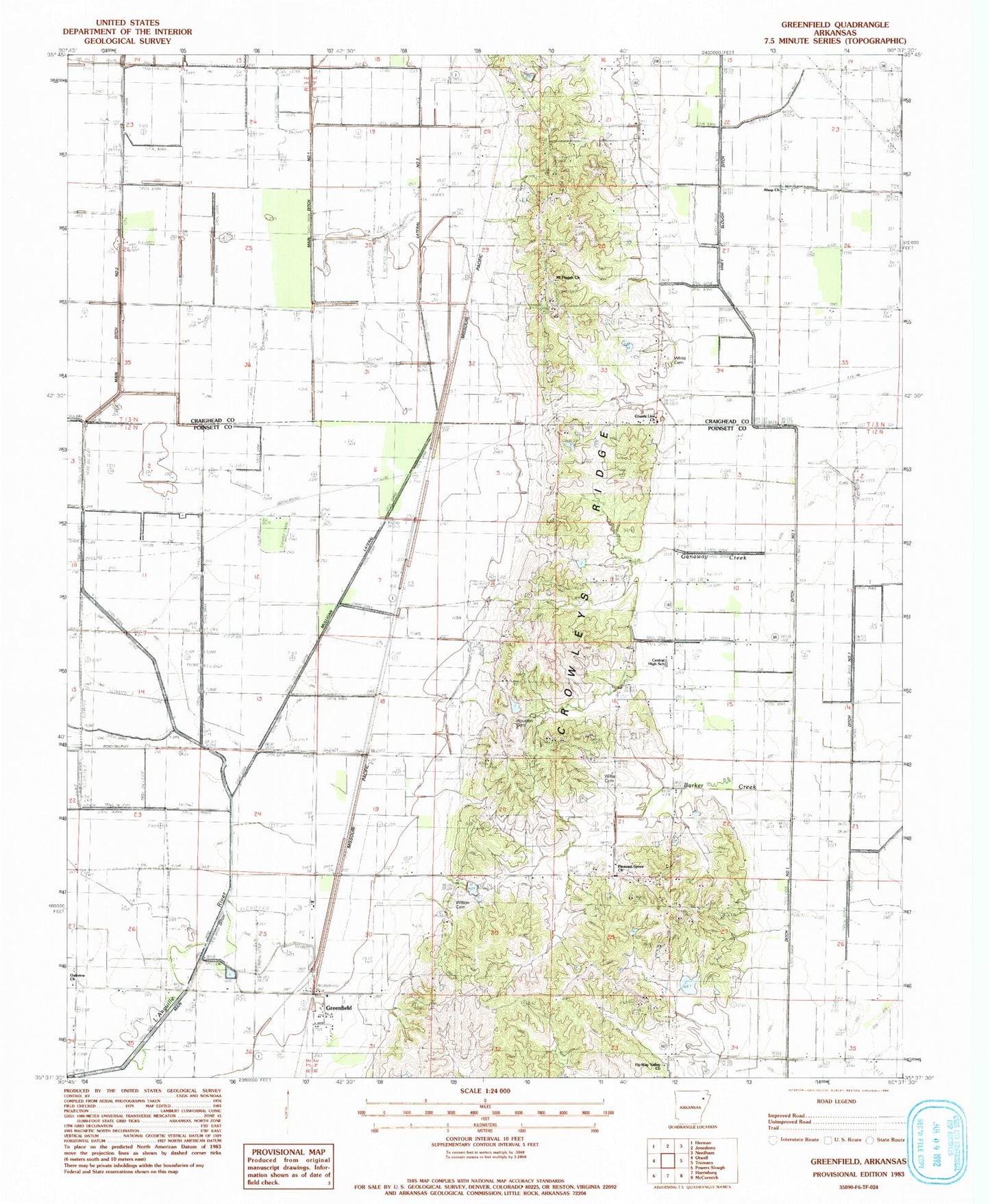
Historical USGS topographic quad map of Greenfield in the state of Arkansas. Map scale may vary for some years, but is generally around 1:24,000. Print size is approximately 24" x 27"
This quadrangle is in the following counties: Craighead, Poinsett.
The map contains contour lines, roads, rivers, towns, and lakes. Printed on high-quality waterproof paper with UV fade-resistant inks, and shipped rolled.
Contains the following named places: Alsup Church, Barker Creek, Brett School, Buffalolick, Cary, Central Elementary School, Central Volunteer Fire Department, County Line Church, Ditch Number 7, Ganaway Creek, Gaulett, Greenfield, Greenfield Baptist Church, Houston Cemetery, Hy-Way Valley Church, KWEZ-FM (Trumann), Lateral Number 1, Lateral Number 3, Legacy Landfill, Lonnie Jaynes Lake, Lonnie Jaynes Lake Dam, Main Ditch Number 1, Main Ditch Number 2, Morning Sun School, Mount Pisgah Cemetery, Mount Pisgah Church, Mulligan, Oakview Church, Pine View School, Pisgah School, Pleasant Grove Baptist Church, Ridge, Ridge Station School, Southridge Fire Department Station 1, Township of Greenfield, White Cemetery, Willis Cemetery, Wilson Cemetery