MyTopo
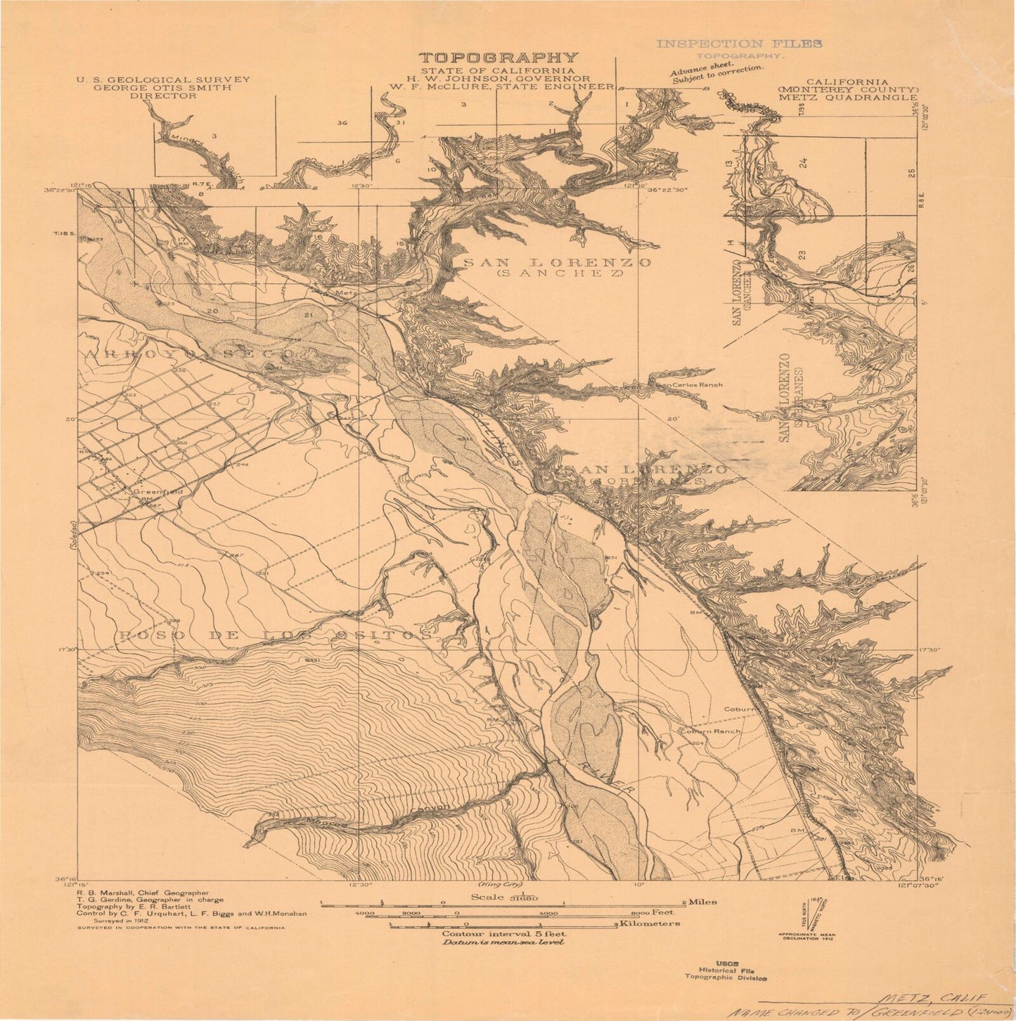
Classic USGS Greenfield California 7.5'x7.5' Topo Map
Couldn't load pickup availability
Historical USGS topographic quad map of Greenfield in the state of California. Map scale may vary for some years, but is generally around 1:24,000. Print size is approximately 24" x 27"
This quadrangle is in the following counties: Monterey.
The map contains contour lines, roads, rivers, towns, and lakes. Printed on high-quality waterproof paper with UV fade-resistant inks, and shipped rolled.
Contains the following named places: Agua Grande Canyon, Cesar Chavez Elementary School, Chalome Creek Pit, Chalone Creek, Cherry Canyon, Cinco Canoas Canyon, City of Greenfield, Coburn, Coburn Ranch, Elsa, Family Christian School, Greenfield, Greenfield Branch Monterey County Free Libraries, Greenfield Cemetery, Greenfield City Hall, Greenfield City Park, Greenfield Division, Greenfield Elementary School, Greenfield Fire Protection District, Greenfield High School, Greenfield Post Office, Greenfield Primary School, Handley Canyon, KQKZ-FM (Greenfield), Las Muertas Canyon, Los Ositos Substation, Lumber Canyon, Metz, Metz Airport, Metz School, Monroe Canyon, Monroe Creek, Oak Park, Posa De Los Ositos, San Carlos Canyon, San Carlos Ranch, San Lorenzo, Santa Lucia Square Shopping Center, Saucito Canyon, Ventana High School, Vista Verde Middle School


