MyTopo
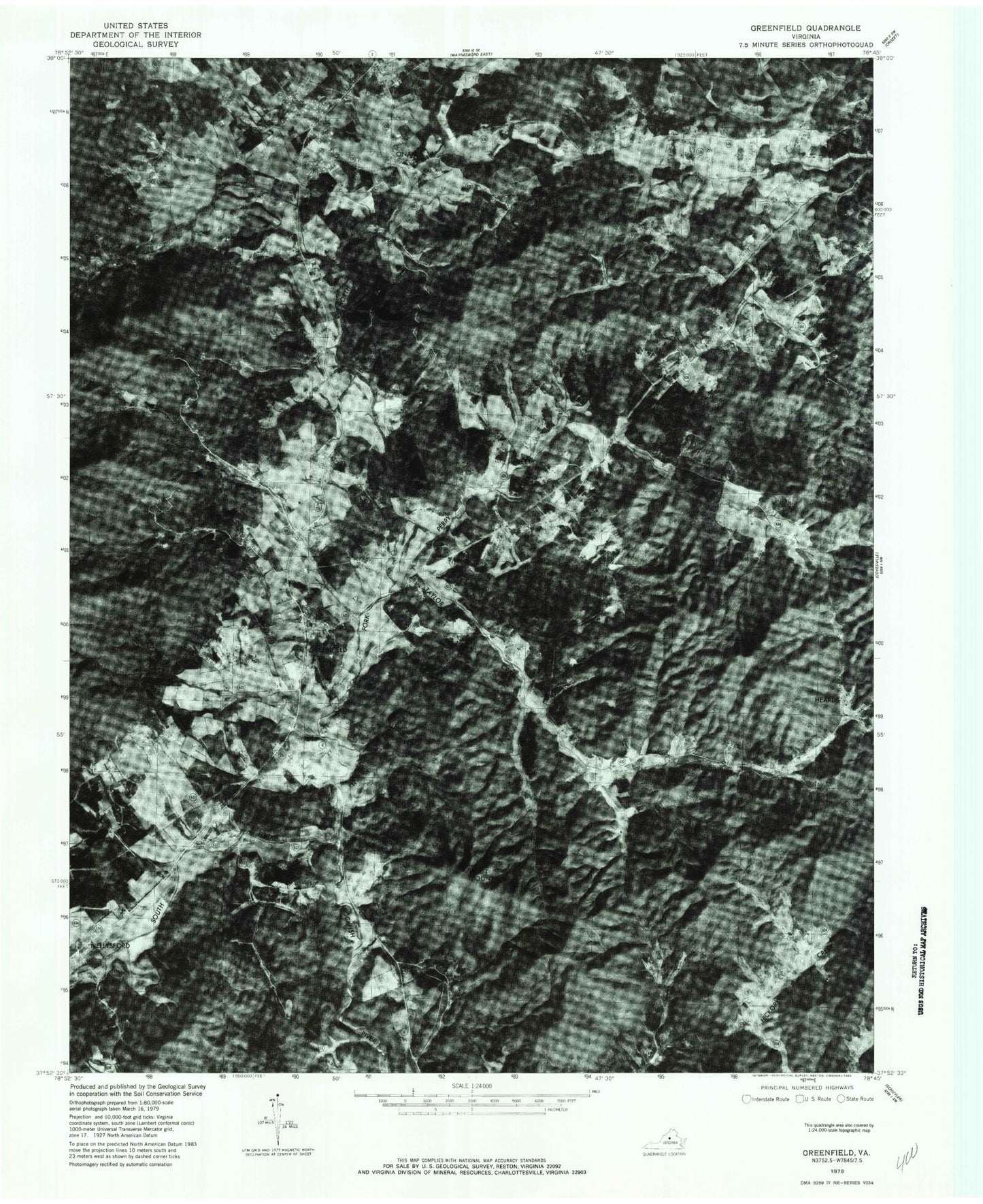
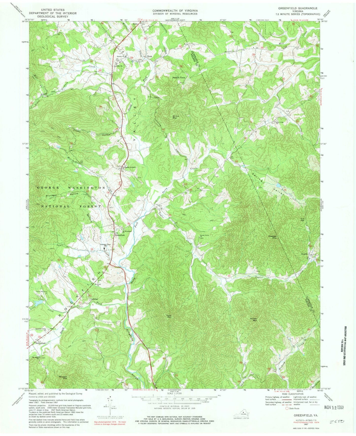
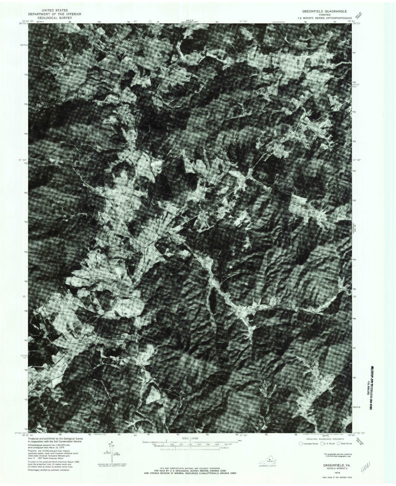
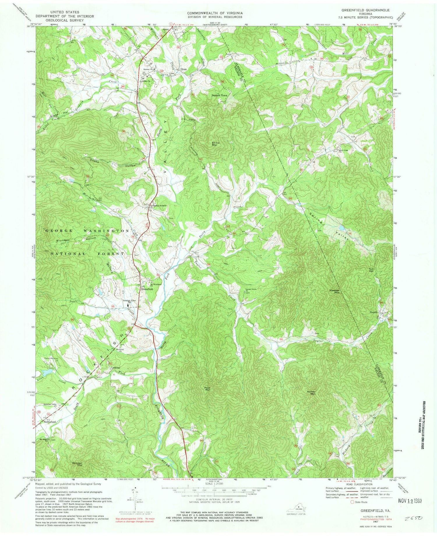
Classic USGS Greenfield Virginia 7.5'x7.5' Topo Map
Couldn't load pickup availability
Historical USGS topographic quad map of Greenfield in the state of Virginia. Typical map scale is 1:24,000, but may vary for certain years, if available. Print size: 24" x 27"
This quadrangle is in the following counties: Albemarle, Nelson.
The map contains contour lines, roads, rivers, towns, and lakes. Printed on high-quality waterproof paper with UV fade-resistant inks, and shipped rolled.
Contains the following named places: Allen Creek, Andersons Creek, Archer Mountain, Blundell Hollow, Camp Monocan, Cooks Hollow, Ennis Mountain, Fellowship Holiness Church, Glass Hollow, Goodwin Creek, Greenfield, Hebron Church, Holy Cross Church, Locust Grove Church, Mallory Creek, Massies Mountain, Meriwether Creek, Mill Creek, Mount Eagle Church, Mount Woodland Church, Nellysford, Onan, Pauls Creek, Perry Creek, Pilot Mountain, Rockfish Church, Rockfish Valley, Rockfish Valley Church, Rockfish River Elementary School, Rodes Church, Rodes Creek, South Fork Rockfish River, Spring Valley, Taylor Creek, Tool Gap, Union Church, Williams Creek, McClain Mountain, Lake Monocan Dam, Lake Monocan, Avon, Durrett Town, Heards, Lodebar, Martins Store, Nelson County Farm (historical), Ottoway, Perry Mountain, Proffit Chapel (historical), Rockfish Valley High School (historical), Turk Mountain, Holy Cross Cemetery, Holy Cross School (historical), Craigs Store, Rockfish District (historical), Rockfish Valley Volunteer Fire and Rescue Department, North Branch School, North District


