MyTopo
Classic USGS Greenhorn Buttes Washington 7.5'x7.5' Topo Map
Couldn't load pickup availability
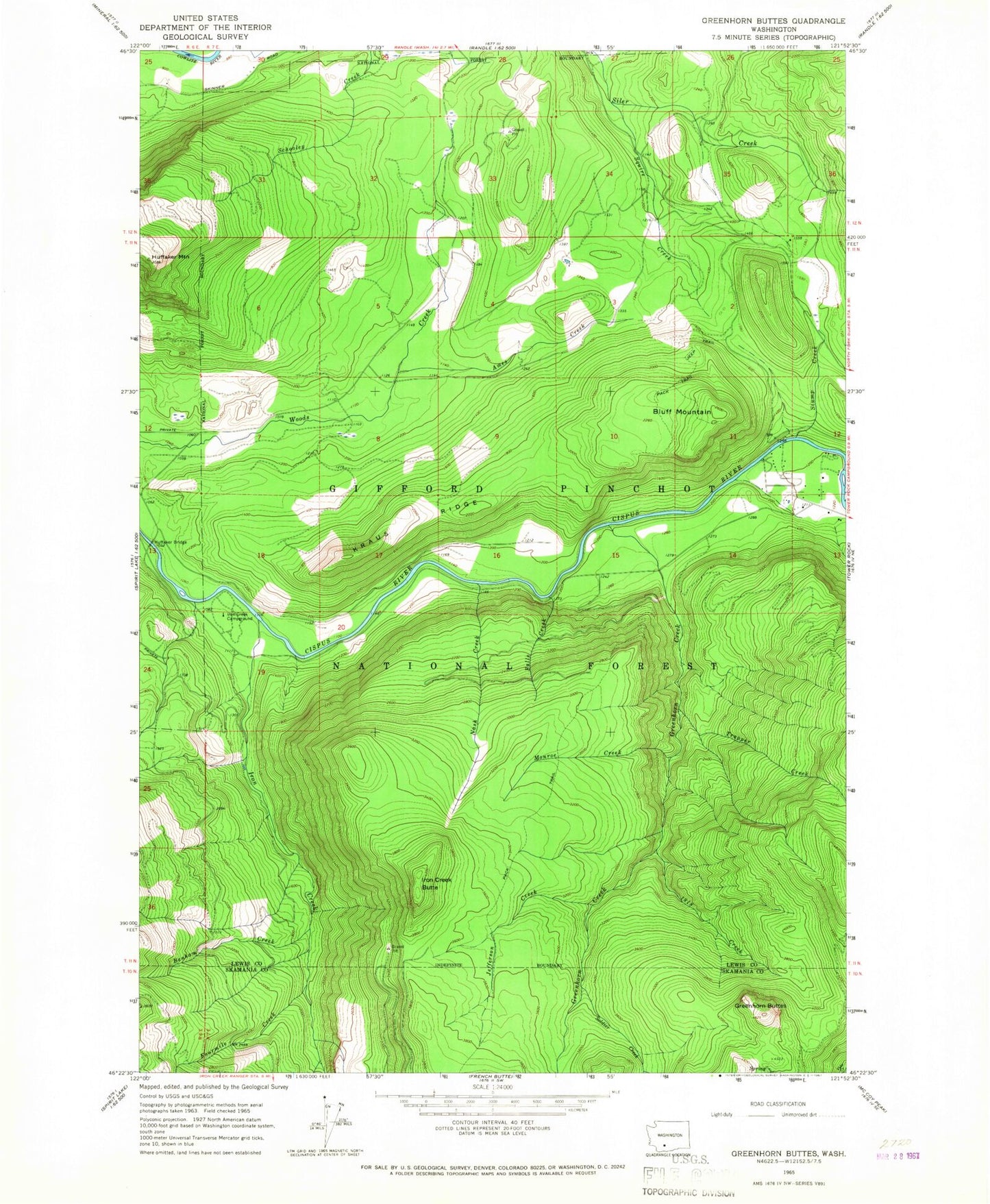
Historical USGS topographic quad map of Greenhorn Buttes in the state of Washington. Map scale may vary for some years, but is generally around 1:24,000. Print size is approximately 24" x 27"
This quadrangle is in the following counties: Lewis, Skamania.
The map contains contour lines, roads, rivers, towns, and lakes. Printed on high-quality waterproof paper with UV fade-resistant inks, and shipped rolled.
Contains the following named places: 1918 Creek, Ames Creek, Benham Creek, Bluff Mountain, Falls Creek, Fourmile Creek, Greenhorn Buttes, Greenhorn Creek, Huffaker Bridge, Iron Creek, Iron Creek Butte, Iron Creek Campground, Iron Creek Information Center, Jefferson Creek, Kraus Ridge, Monroe Creek, Nash Creek, Soldier Creek, Squire Creek, Stump Creek, Trapper Creek