MyTopo
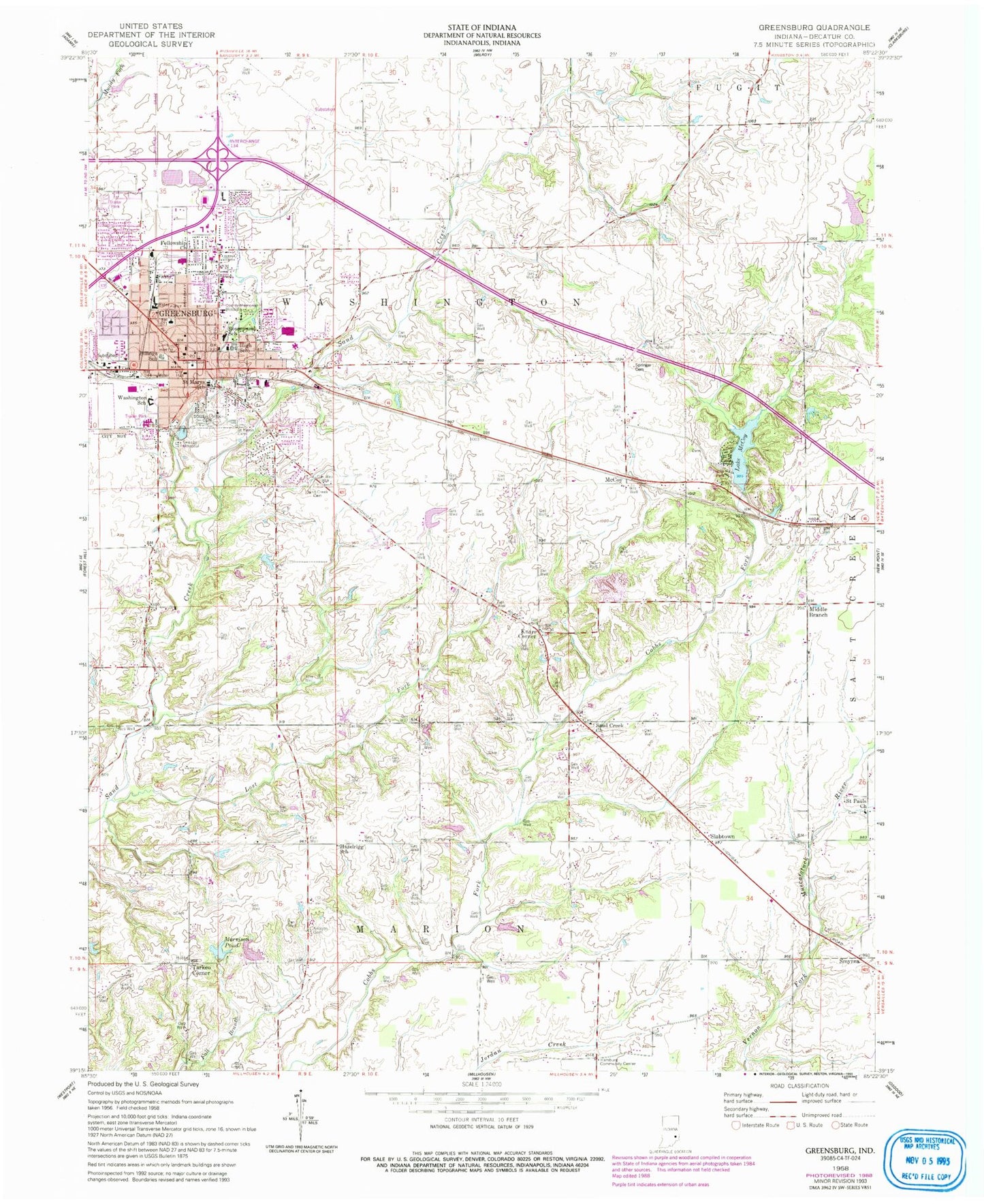
Classic USGS Greensburg Indiana 7.5'x7.5' Topo Map
Couldn't load pickup availability
Historical USGS topographic quad map of Greensburg in the state of Indiana. Map scale may vary for some years, but is generally around 1:24,000. Print size is approximately 24" x 27"
This quadrangle is in the following counties: Decatur.
The map contains contour lines, roads, rivers, towns, and lakes. Printed on high-quality waterproof paper with UV fade-resistant inks, and shipped rolled.
Contains the following named places: Antioch Cemetery, Billings Elementary School, Cresswood Lake Dam, Decatur County Emergency Medical Services, Decatur County Memorial Hospital, Decatur County Sheriff Department, Fellowship Church, Greensburg, Greensburg Community High School, Greensburg Fire Department, Greensburg Police Department, Greensburg Post Office, Hamburg Community Center, Hazelrigg School, Knarr Corner, Lake McCoy, Lost Fork, McCoy, Middle Branch, Morrison Pond, Morrison Pond Dam, Odd Fellows Home, Reed Dam, Reed Reservoir, Rosenmund Elementary School, Saint Mary School, Saint Marys Cemetery, Saint Pauls Church, Sand Creek Cemetery, Sand Creek Church, Slabtown, Smyrna, South Park Cemetery, Springer Cemetery, Tarkeo Corner, Township of Washington, Washington Elementary School, ZIP Code: 47240


