MyTopo
Classic USGS Greentown Indiana 7.5'x7.5' Topo Map
Couldn't load pickup availability
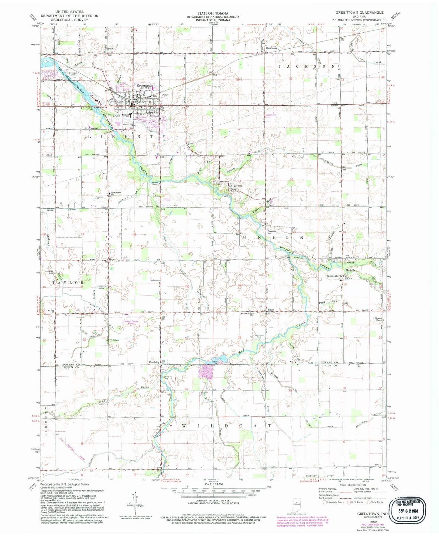
Historical USGS topographic quad map of Greentown in the state of Indiana. Map scale may vary for some years, but is generally around 1:24,000. Print size is approximately 24" x 27"
This quadrangle is in the following counties: Howard, Tipton.
The map contains contour lines, roads, rivers, towns, and lakes. Printed on high-quality waterproof paper with UV fade-resistant inks, and shipped rolled.
Contains the following named places: Armstrong Ditch, Barrett Ditch, Beard Ditch, Brunk Ditch, Center Grove Church, Chandler Cemetery, Conway Ditch, Cottingham Ditch, Duncan Ditch, Eastern Junior and Senior High School, First Salem Church, Fowler Field /Private Airport, Freeman Cemetery, Freeman Ditch, Gifford Ditch, Grassy Fork, Green Run, Greenlawn Cemetery, Greentown, Greentown Police Department, Greentown Post Office, Greentown Volunteer Fire Company, Guy, Hall Airport, Hardin Ditch, Hook Run, Howard Chapel, Howard County Airport, Irwin Creek, Jerome, Jerome Cemetery, Lawn Run, Legg Ditch, Loop Drain, Middle Fork, Middle Fork Ditch, Middle Fork Wildcat Creek, Moon Barcley Ditch, Mount Zion Church, Mud Creek, New Hope Cemetery, New Salem Church, Overman Ditch, Peck Run, Phlox, Pickering Ditch, Pint Run, Riggs Ditch, Roberts Ditch, Rome Run, Salem Cemetery, Shockney Ditch, Sims Drain, Smith Ditch, Sycamore, Town of Greentown, Township of Union, Tributary Number One, Tributary Number Two, Turkey Creek, Union Civil Cemetery, West Liberty, Wheeler Cemetery, Windfall Sand and Gravel Pit, ZIP Code: 46936


