MyTopo
Classic USGS Greenville SE Texas 7.5'x7.5' Topo Map
Couldn't load pickup availability
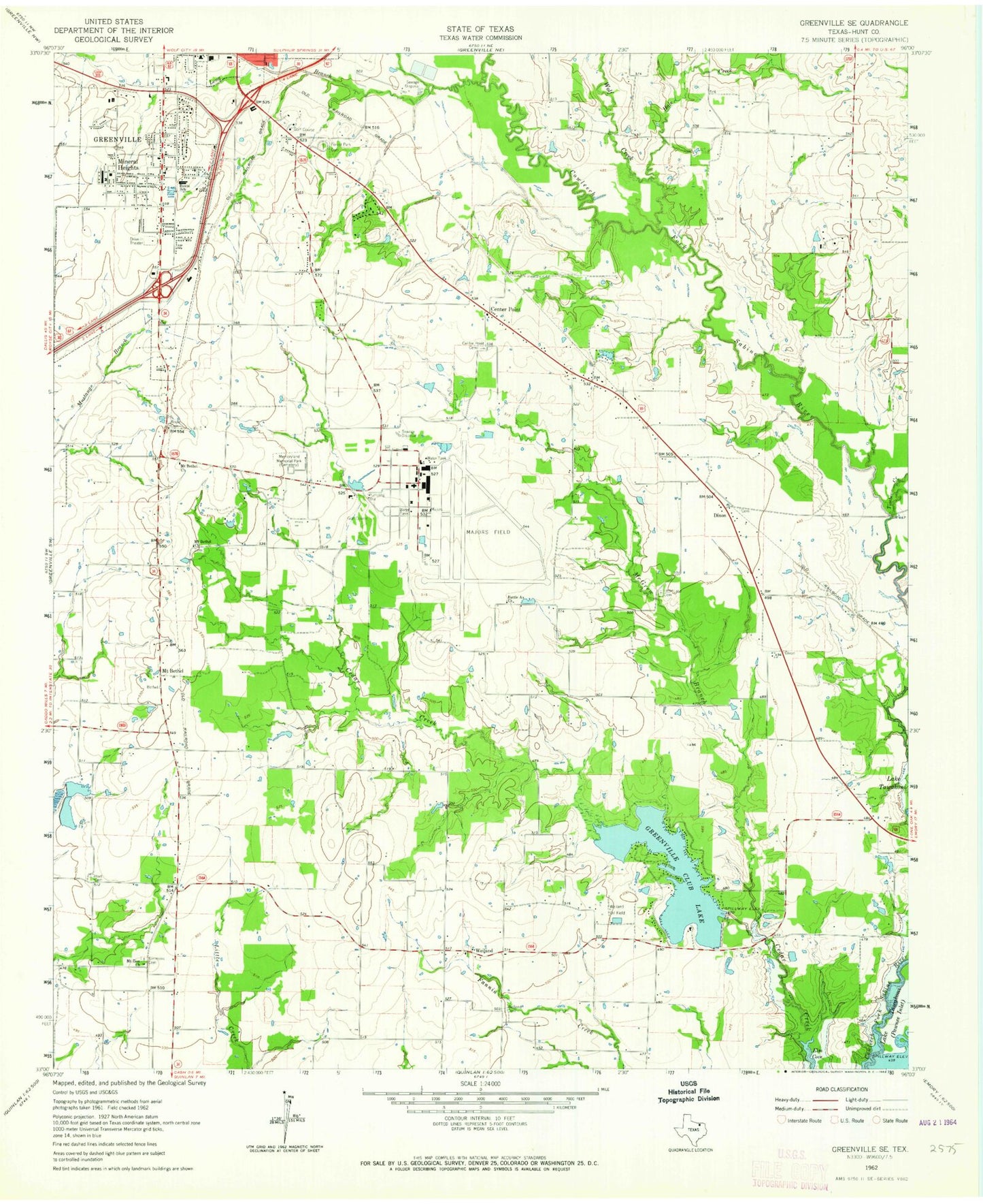
Historical USGS topographic quad map of Greenville SE in the state of Texas. Typical map scale is 1:24,000, but may vary for certain years, if available. Print size: 24" x 27"
This quadrangle is in the following counties: Hunt.
The map contains contour lines, roads, rivers, towns, and lakes. Printed on high-quality waterproof paper with UV fade-resistant inks, and shipped rolled.
Contains the following named places: Battle Ax Church, Bowie School, Boyle Cemetery, Center Point, Center Point Cemetery, Etter Lake Cemetery, Forest Park Cemetery, Greenville Club Lake, Hale Creek, Hart Cemetery, Long Branch, McGrew Branch, Memoryland Memorial Park, Mineral Heights, Mount Bethel Church, Mount Bethel Church, Mount Zion Church, Simmons Cemetery, Timber Creek, Weiland Cemetery, Weiland Oil Field, Wolf Creek, Dixon, Mount Bethel, Weiland, Hunt County, Majors Airport, Greenville Club Lake Dam, Ashmore Lake Dam, Ashmore Lake, Rollins Lake Dam, Rollins Lake, Greenville High School, Bowie Elementary School, Hunt Regional Medical Center at Greenville, Emmanuel Missionary Baptist Church, Highland Terrace Baptist Church, Mineral Heights Baptist Church, Ridgecrest Baptist Church, Hillside Church of Christ, Church of God, First Church of the Nazarene, Westview United Methodist Church, First Presbyterian Church, Grace Presbyterian Church, Westminster Presbyterian Church, W C Cotton Stadium, MHW Park, Crossroads Shopping Center, Greenville Post Office, Wieland, Meadowview, Center Point, Majors Army Air Field (historical), City of Greenville, Greenville Fire Department Station 4, Cash Fire Department - First Responders, Greenville Fire Department Station 3, Glen Oaks Hospital, American Medical Response / Hunt County Emergency Medical Services, Rolling Hills Post Office


