MyTopo
Classic USGS Greenville SW North Carolina 7.5'x7.5' Topo Map
Couldn't load pickup availability
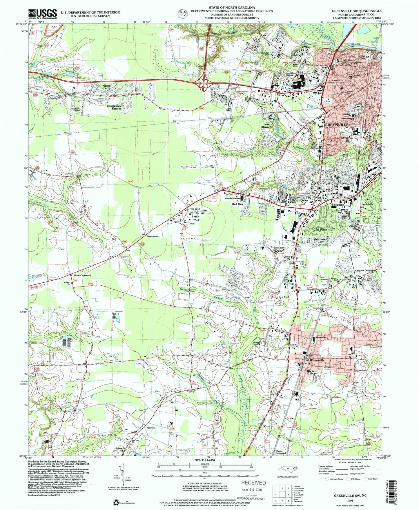
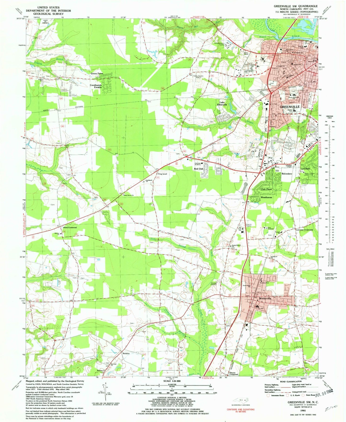
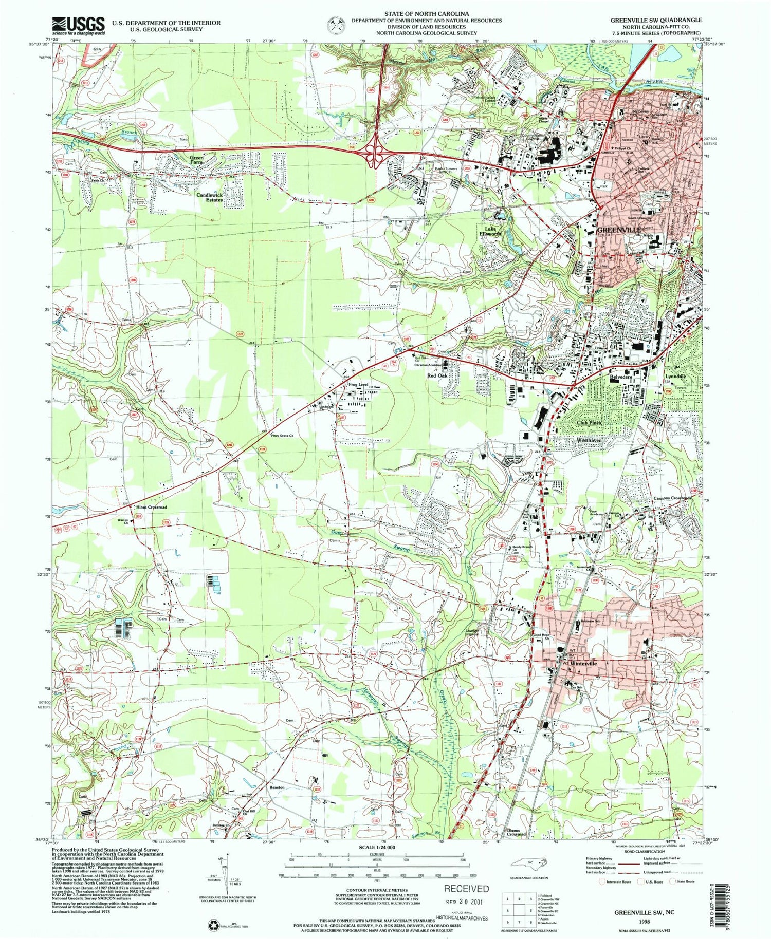
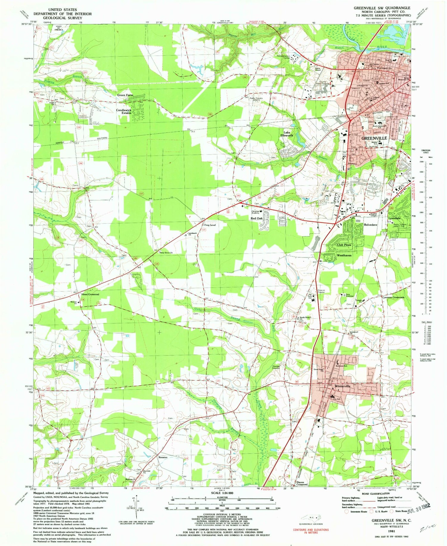
Historical USGS topographic quad map of Greenville SW in the state of North Carolina. Map scale may vary for some years, but is generally around 1:24,000. Print size is approximately 24" x 27"
This quadrangle is in the following counties: Pitt.
The map contains contour lines, roads, rivers, towns, and lakes. Printed on high-quality waterproof paper with UV fade-resistant inks, and shipped rolled.
Contains the following named places: Allens Chapel, Arlington Plaza, Arlington Street Baptist Church, Batts Court, Baywood, Bedford, Belvedere, Bethany Church, Biltmore, Brentwood, Brownhill Cemetery, Buyers Market Shopping Center, Cambridge, Candlewick Estates, Cannon Crossroads, Canterbury, Carolina Convention Center, Carolina East Mall, Carolina Heights, Cherry Lane Free Will Baptist Church, Cherry View, Christian Academy, City of Greenville, Clevewood, Club Pines, Cox School, Devonshire Square, Dixons Crossroads, Doctors Park, East Carolina University - Greenville Health Sciences Campus - Laupus Library, East Carolina University - Greenville Health Sciences Campus Biotechnology Building, East Carolina University - Greenville Health Sciences Campus Brody Medical Sciences Building, English Chapel Free Will Church, Evangelistic Tabernacle, Evans Park, Executive Park West, Fairlane, Faith Church, First Pentacostal Holiness Church, Flynn Christian Fellowship Home, Forbes Millpond, Frog Level, Fulilove School, Good Hope Church, Grand Turn, Green Farm, Greenbrier, Greenfield Place, Greenville Fire and Rescue Station 1 Headquarters, Greenville Fire and Rescue Station 2, Greenville Fire and Rescue Station 5, Greenville Golf and Country Club, Greenville Heights, Greenville Middle School, Greenville Police Animal Control, Greenville Police Department, Greyleigh, Gum Swamp, Guy Smith Park, Higgs, Hillsdale, Hines Crossroad, Holy Trinity United Holy Church, Horsepen Swamp, Immanuel Church, Kearny Park, Lake Ellsworth, Lakewood Pines, Landmark Church, Latterday Saints Church, Lincoln Park, Lynndale, Mount Calvary Church, Moyewood, Oakdale, Pace Academy, Paige, Peoples Baptist Church, Phillippi Church, Pinewood Forest, Piney Grove Church, Pitt Community College, Pitt County Administrative Office and Board of Education, Pitt County Memorial Hospital Airport, Pitt County Sheriff's Office, Red Oak, Red Oak Church, Red Oak Community Rural Fire Department, Red Oak Plaza, Reedy Branch Church, Renston, Riverdale, Robinson Heights, Robinson School, Rochdale, Rollingwood, Sadie Saulter Elementary School, Saint Gabriel School, Saint Gabriels Catholic Church, Schoolhouse Branch, Sedgefield, Selma Free Will Baptist Church, Shamrock Terrace, Shepherd Memorial Library - Carver Branch, Sherwood Acres, South Greenville Elementary School, South Greenville Park, South Memorial Post Office, South Park Shopping Center, Southside Commercial Center, Spring Arbor of Greenville, Station Square Shopping Center, Summerfield, Sycamore Hill Baptist Church, Tar River Manor, Temple Church, The Church of Jesus Christ of Latter Day Saints, Third Street Elementary School, Thomas Foreman Park, Town of Winterville, Township of Arthur, Township of Greenville, Township of Winterville, Treetops, Tucker Farms, Unity FWB Church, University Church, Vidant Medical Center, Village Grove, Voice of America, Walter B Jones Alcohol and Drug Abuse Treatment Center, Warren Church, WBZQ-AM (Greenville), Weathington Heights, Wells Chapel Church of God, Westend Circle, Westhaven, Westwood, Williamsburg Manor North, Winterville, Winterville Fire Rescue Department and Emergency Medical Services, Winterville Police Department, Winterville Post Office, Winterville Town Hall, WNCT-AM (Greenville), WNCT-TV, WZMB-FM (Greenville), Zion Hill Church, ZIP Code: 28590


