MyTopo
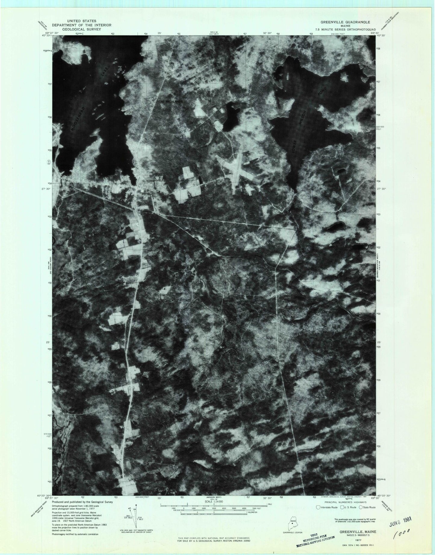
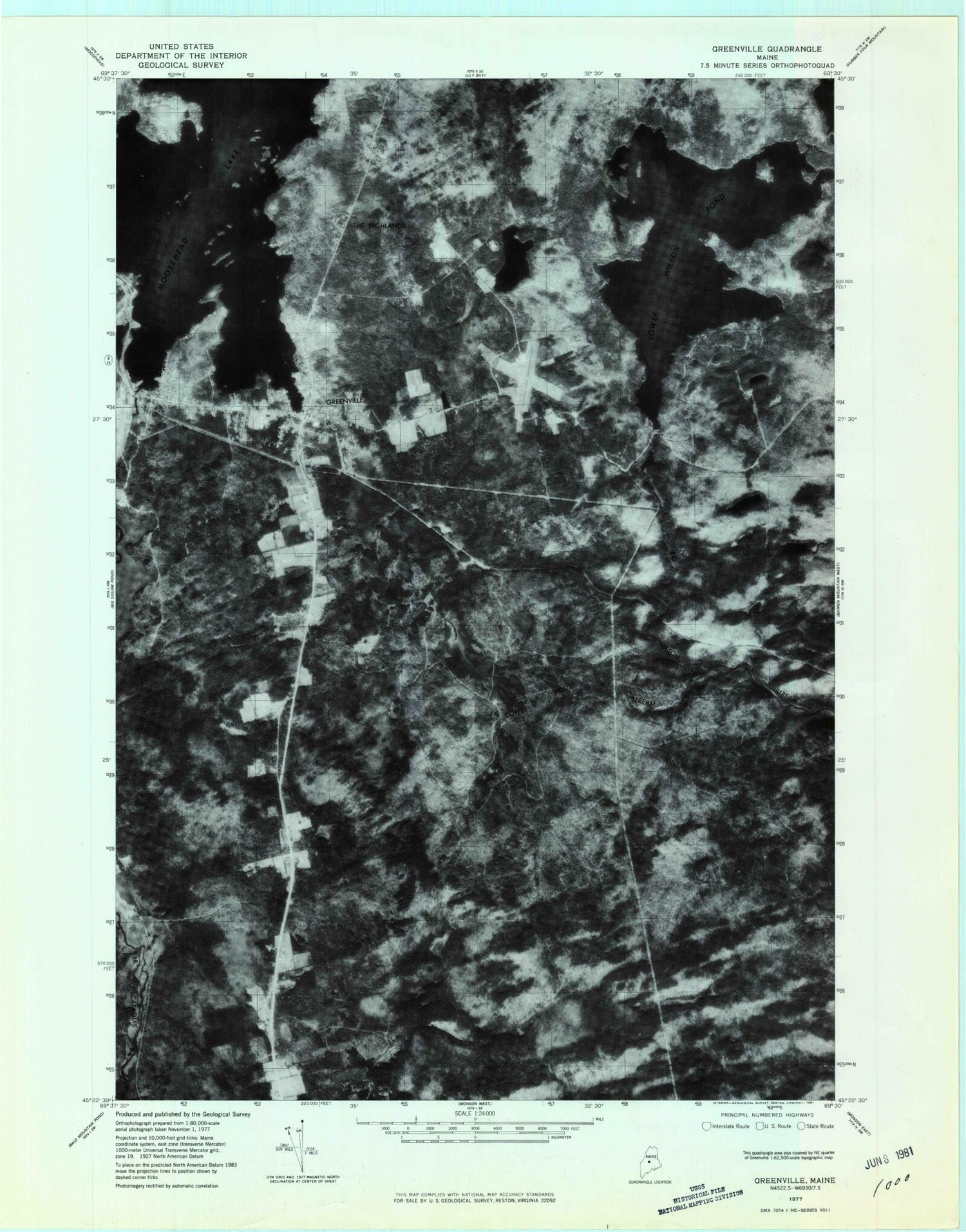
Classic USGS Greenville Maine 7.5'x7.5' Topo Map
Couldn't load pickup availability
Historical USGS topographic quad map of Greenville in the state of Maine. Map scale may vary for some years, but is generally around 1:24,000. Print size is approximately 24" x 27"
This quadrangle is in the following counties: Piscataquis.
The map contains contour lines, roads, rivers, towns, and lakes. Printed on high-quality waterproof paper with UV fade-resistant inks, and shipped rolled.
Contains the following named places: Big Wilson Stream Reservoir, Birch Point, Blair Hill, Charles A Dean Memorial Hospital, Coffee House Stream, Community House, Cove Point, Cove Point Township, Eagle Stream, East Shirley Bog, Greenville, Greenville Cemetery, Greenville Census Designated Place, Greenville Consolidated School, Greenville Forestry Seaplane Base, Greenville Junction, Greenville Junction Post Office, Greenville Municipal Airport, Greenville Police Department, Greenville Post Office, Greenville Seaplane Base, Greenville Town Office, Greenville Volunteer Fire Station, Grenell Pond, Harfords Point, Harfords Point Township, Indian Hill, Katahdin Museum, Lower Wilson Pond, Lower Wilson Pond Dam, Mill Brook, Moosehead Family Campground, Moosehead Marine Museum, Mud Pond, Nickerson Elementary School, Oak Ridge, Penstock Dam, Peoples United Methodist Church, Rum Brook, Rum Cove, Rum Mountain, Salmon Pond, Sawyer Pond, Secret Pond, Shadow Pond, Shaw Public Library, Teasdale Island, The Highlands, Town of Greenville, Upper Shirley Corner, West Cove, West Cove Point, Wilson Pond Camps