MyTopo
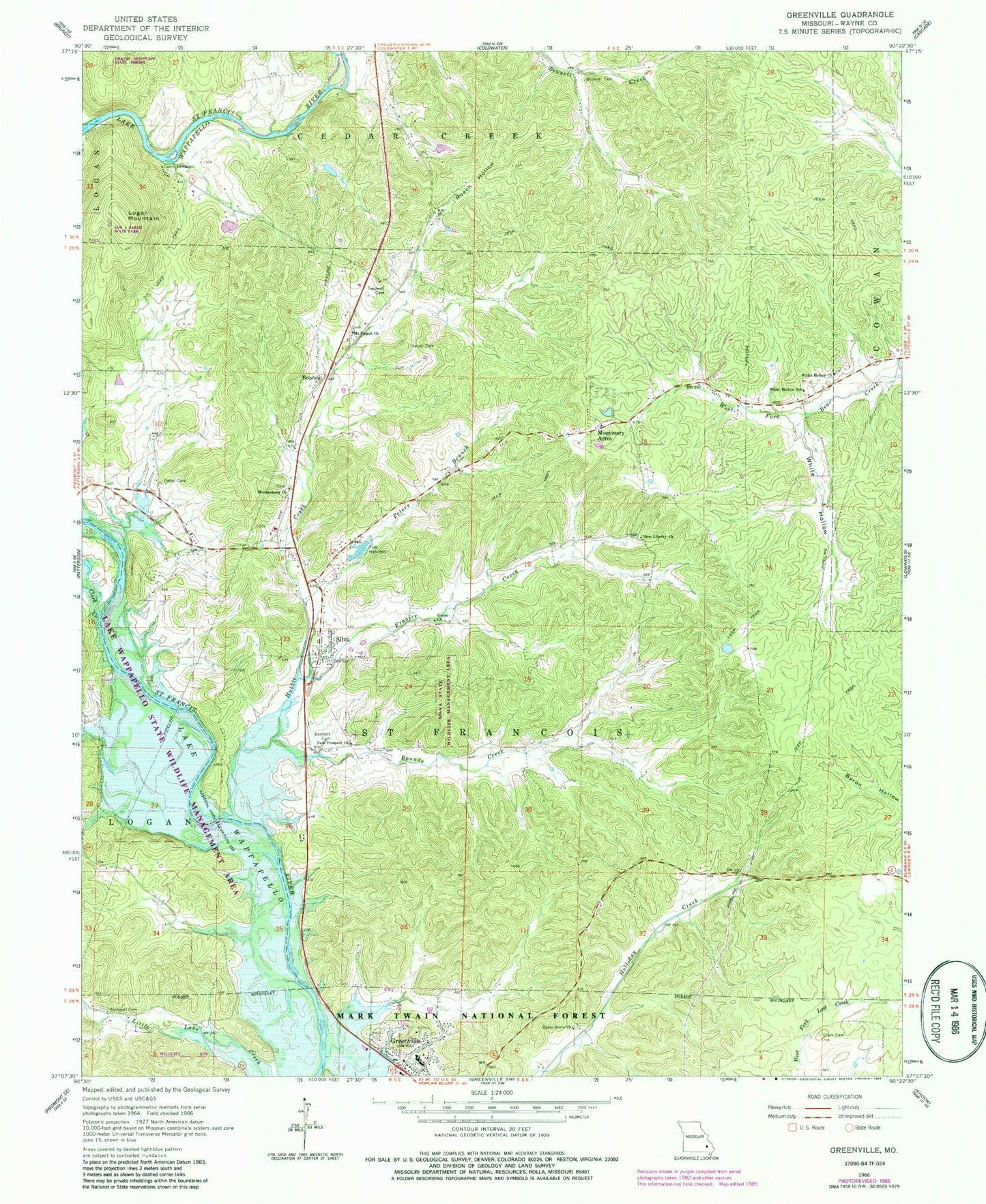
Classic USGS Greenville Missouri 7.5'x7.5' Topo Map
Couldn't load pickup availability
Historical USGS topographic quad map of Greenville in the state of Missouri. Typical map scale is 1:24,000, but may vary for certain years, if available. Print size: 24" x 27"
This quadrangle is in the following counties: Wayne.
The map contains contour lines, roads, rivers, towns, and lakes. Printed on high-quality waterproof paper with UV fade-resistant inks, and shipped rolled.
Contains the following named places: White Hollow Cemetery, Kelly Hill, Hunters Tourist Camp, Granny Branch, New Prospect School (historical), Kelly Ford, Silva School (historical), Little Lake Creek School (historical), Bennett Cemetery, Bennett Cemetery, Bounds, Bounds Creek, Camp Lewallen, Clark Cemetery, Clark Creek, Frazier Creek, Greenville, Hubble Creek, Logan Mountain, Missionary Acres, Montgomery Church, Mount Pisgah Church, New Liberty Church, New Prospect Church, Peters Branch, Roach Hollow, Rockwell Cemetery, Silva, Twidwell Cemetery, Union Church, Union Grove Church, Vavak Cemetery, White Hollow, White Hollow Church, White Hollow School, Silva State Wildlife Management Area, Wet Hollow, Lake Wappapella State Wildlife Management Area, Silva Post Office (historical), Lake Potashnik Dam, Lake Potashnik, City of Greenville, Wayne County Sheriff's Office, Greenville Police Department, Silva Post Office, Greenville Post Office


