MyTopo
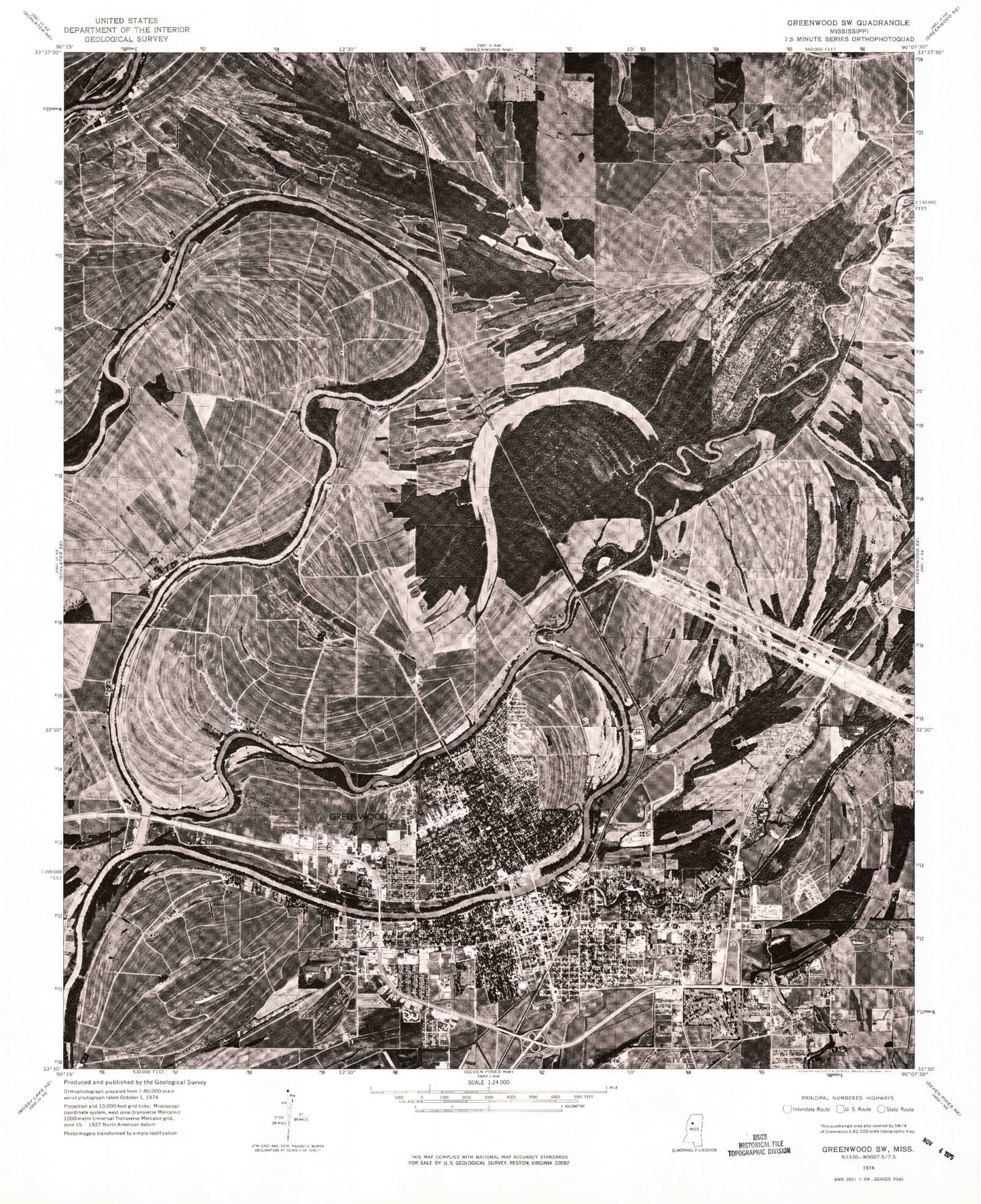
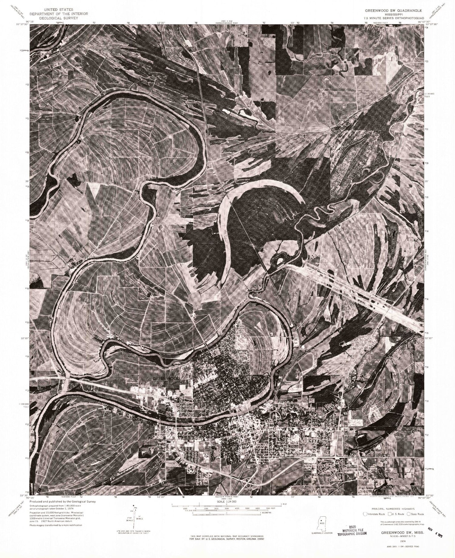
Classic USGS Greenwood Mississippi 7.5'x7.5' Topo Map
Couldn't load pickup availability
Historical USGS topographic quad map of Greenwood in the state of Mississippi. Map scale may vary for some years, but is generally around 1:24,000. Print size is approximately 24" x 27"
This quadrangle is in the following counties: Carroll, Leflore.
The map contains contour lines, roads, rivers, towns, and lakes. Printed on high-quality waterproof paper with UV fade-resistant inks, and shipped rolled.
Contains the following named places: Ashwood Landing, Bankston Elementary School, Bareneaus Landing, Big Sand Creek, Big Sand Creek Cutoff, Blue Lake, Bluff Springs Landing, Brooklyn Chapel, Brooklyn Landing, Bushahatchie Landing, Calvary Baptist Church, Church of God, Church of God of Prophecy, Church of the Nativity, City of Greenwood, Cottonlandia Museum, Craigs Store Landing, Craigside, Davis Elementary School, Delta Landing, East Elementary School, Eastgate Baptist Church, Eastgate Shopping Center, Elzy School, Farmers Home Landing, First Assembly of God Church, First Baptist Church, First Christian Church, First Independent Methodist Church, First Presbyterian Church, First United Methodist Church, Florewood River Plantation Museum, Fort Ann, Fort Leflore, Fort Moore, Fort Pemberton, Fort Pemberton Landing, Fort Texas, Free Will Baptist Church, Friendship Missionary Baptist Church, Georges Landing, Glen Burr Landing, Glen Burr Race Track School, Glover Lake, Goodhope Baptist Church, Grace Church, Greater Bethel Apostolic Temple, Green Grove Church, Greenwood, Greenwood Church, Greenwood City Hall, Greenwood Country Club, Greenwood Fire Department Station 1 Headquarters, Greenwood Fire Department Station 2, Greenwood Fire Department Station 3, Greenwood Fire Department Station 4, Greenwood High School, Greenwood Leflore Hospital, Greenwood Mall Shopping Center, Greenwood Police Department, Greenwood Post Office, Greenwood Sewage Lagoon Dam, Greenwood-Leflore Civic Center, Greenwood-Leflore Library, Grenada Junction, Hadley, Hadley Lake, Hells Halfacre, Henrys Landing, Highland Shopping Center, Immaculate Heart of Mary Catholic Church, Immanuel Baptist Church, Irving Memorial Chapel, Jennings Temple Christian Methodist Episcopal Church, Jerusalem Church of God in Christ, Jim Youngs Landing, Jones Chapel Missionary Baptist Church, Last Resort Landing, Leflore County Courthouse, Leflore County Penal Farm, Leflore County Vocational Technical Center, Leflore Post Office, Legion Field, Little Zion Cemetery, Little Zion Church, Locust Grove Baptist Church, Loggins Cemetery, Magnolia Cemetery, Mark Loves Landing, Mississippi Highway Patrol District 2 Troop D, Montjoys Landing, Mossy Lakes, New Einnard Church, New Foundation Missionary Baptist Church, North Greenwood Baptist Church, Old Greenwood Cemetery, Old Orchard Lake, Pelucia Bayou, Phoenix Mills Landing, Pillow Chapel, Point Leflore, Point Leflore Landing, Portwood Church, Portwood Landing, Providence Baptist Church, Race Track, Race Track Landing, Saint Clouds Landing, Saint Francis of Assisi Catholic Church, Saint Francis School, Saint Johns United Methodist Church, Saint Joseph Landing, Saint Luke Church of God in Christ, Saint Mark Cemetery, Saint Mark Church, Salem Cemetery, Salem Church, Salvation Army Church, Sanctified Church, Stokelys Ferry, Stone Street School, Strangers Home Baptist Church, Stronghold Landing, Supervisor District 2, Sweet Home Cemetery, Sweet Home Church, Tallahatchie River, Threadgill Elementary School, Tindalls Landing, Turner Chapel African Methodist Episcopal Church, Two Mile Lake, Union Grove Baptist Church, Union Landing, Veterans Memorial Park, WABG-AM (Greenwood), Wagner Park, Wakeland, Wesley United Methodist Church, West President Church of Christ, WGRM-AM (Greenwood), Whittington Park, Wildwood, Wildwood Landing, Williams Elementary School, Williamson Bayou, WSWG-AM (Greenwood), WSWG-FM (Greenwood), Yalobusha, Yalobusha River, Zoar Landing, ZIP Codes: 38930, 38945


