MyTopo
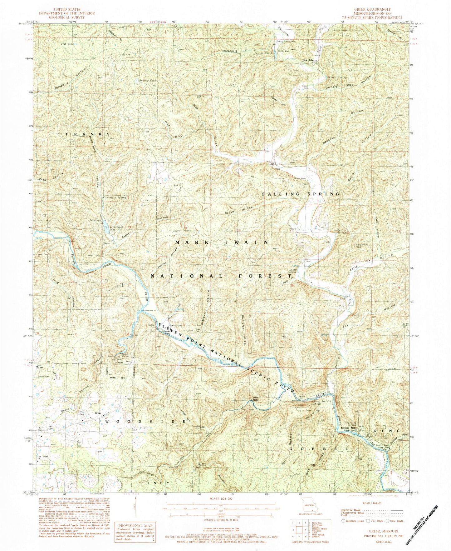
Classic USGS Greer Missouri 7.5'x7.5' Topo Map
Couldn't load pickup availability
Historical USGS topographic quad map of Greer in the state of Missouri. Typical map scale is 1:24,000, but may vary for certain years, if available. Print size: 24" x 27"
This quadrangle is in the following counties: Oregon.
The map contains contour lines, roads, rivers, towns, and lakes. Printed on high-quality waterproof paper with UV fade-resistant inks, and shipped rolled.
Contains the following named places: Blackjack School (historical), Greer School (historical), New Liberty CCC Camp (historical), Ross Spring, Ross (historical), New Liberty School (historical), Liberty Church, Mosby Hill, Long Hollow Creek, Greer Mill, Bellahs Ford, Bellah Falls, Alf Couch Mill (historical), Brawley Bluff, Brawley, Big Bottom Hollow, Bill Deckard Hollow, Blue Hole, Brown Hollow, Brushy Pond, Buck Bay Hollow, Butler Hollow, Carters Shop Hollow, Cave Hollow, Cook Hollow, Douglas Hollow, Duncan Hollow, Falling Spring, Falling Spring Cemetery, Flat Pond, Fox Hollow, Graveyard Hollow, Greer, Greer Spring, Greer Spring Branch, Hackleton Hollow, Hurricane Creek, Kelly Hollow, Lime Kiln Hollow, Little Hurricane Creek, Long Hollow, McCormack Hollow, McFry Ford, New Liberty, Oak Forest Church, Pigpen Hollow, Reader Hollow, Rose School, Sisco Hollow, Spring Hollow, Stinking Pond Hollow, Surprise School, Tram Hollow, Turners Mill, Stinking Pond Float Camp, Turners Spring, Mary Deckard Shoals, Hall Cemetery, Latter Day Saints Cemetery, Ross Cemetery, Gusty Hollow, Gusty Spring, Walters Spring, McCormack Spring, Barrett Spring, Thomasville Hollow, Ozark Trail Trailhead, McCormack Lake Campground, Greer Campground, Turners Mill North Access, Turners Mill South Access, Ozark Trail Trailhead, Eleven Point Wild and Scenic River, Greer Crossing Launching Ramp, Falling Springs Point of Interest, McCormack Lake Picnic Grounds, Greer Crossing Campground, McCormack Lake, McCormack Lake Dam, Township of Falling Spring


