MyTopo
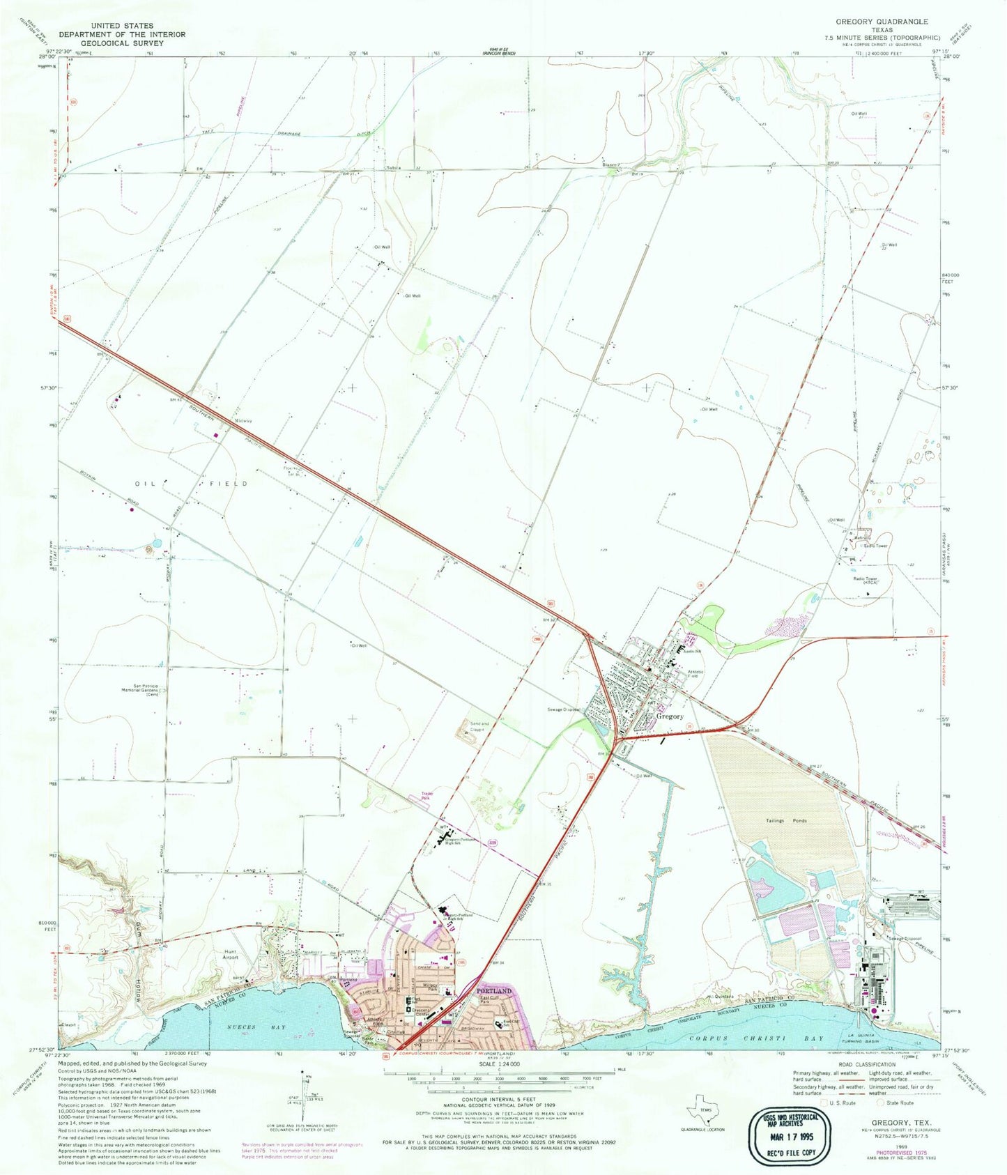
Classic USGS Gregory Texas 7.5'x7.5' Topo Map
Couldn't load pickup availability
Historical USGS topographic quad map of Gregory in the state of Texas. Map scale may vary for some years, but is generally around 1:24,000. Print size is approximately 24" x 27"
This quadrangle is in the following counties: Nueces, San Patricio.
The map contains contour lines, roads, rivers, towns, and lakes. Printed on high-quality waterproof paper with UV fade-resistant inks, and shipped rolled.
Contains the following named places: Andrews Elementary School, Assembly of God Church, Austin Elementary School, Austin School, Baker Park, Broadway Park, Church of Christ, City of Gregory, City of Portland, Clark Elementary School, Clark School, Crescent Center, Doyle, Doyle Addition Colonia, Doyle Census Designated Place, East Cliff Elementary School, East Cliff Park, East Cliff School, Grace Baptist Church, Gregory, Gregory - Portland High School, Gregory - Portland Intermediate School, Gregory - Portland Junior High School, Gregory City Hall, Gregory Police Department, Gregory Post Office, Gregory Volunteer Fire Department, Gregory-Portland Junior High School, Gum Hollow, Hunt Airport, Hunt Municipal Park, KCTA-AM (Corpus Christi), KPCB-FM (Rockport), La Quinta Turning Basin, Magee Airport, Midway, Nueces Bay Colonia, Nueces Bayfront Colonia, Portland, Portland Church of the Nazarene, Portland City Hall, Portland Fire Department, Portland Police Department, Portland Post Office, Portland-Gregory Division, Reynolds Metal Company Reservoir, Reynolds Metal Company Reservoir Dam, Saint Stephen Lutheran Church, San Patricio Memorial Gardens, Taft Drainage Ditch, Temple Public Library, Tradewinds, Tradewinds Census Designated Place, Tradewinds Estates Colonia, Wildcat Stadium, Willacy Park, ZIP Codes: 78359, 78390


