MyTopo
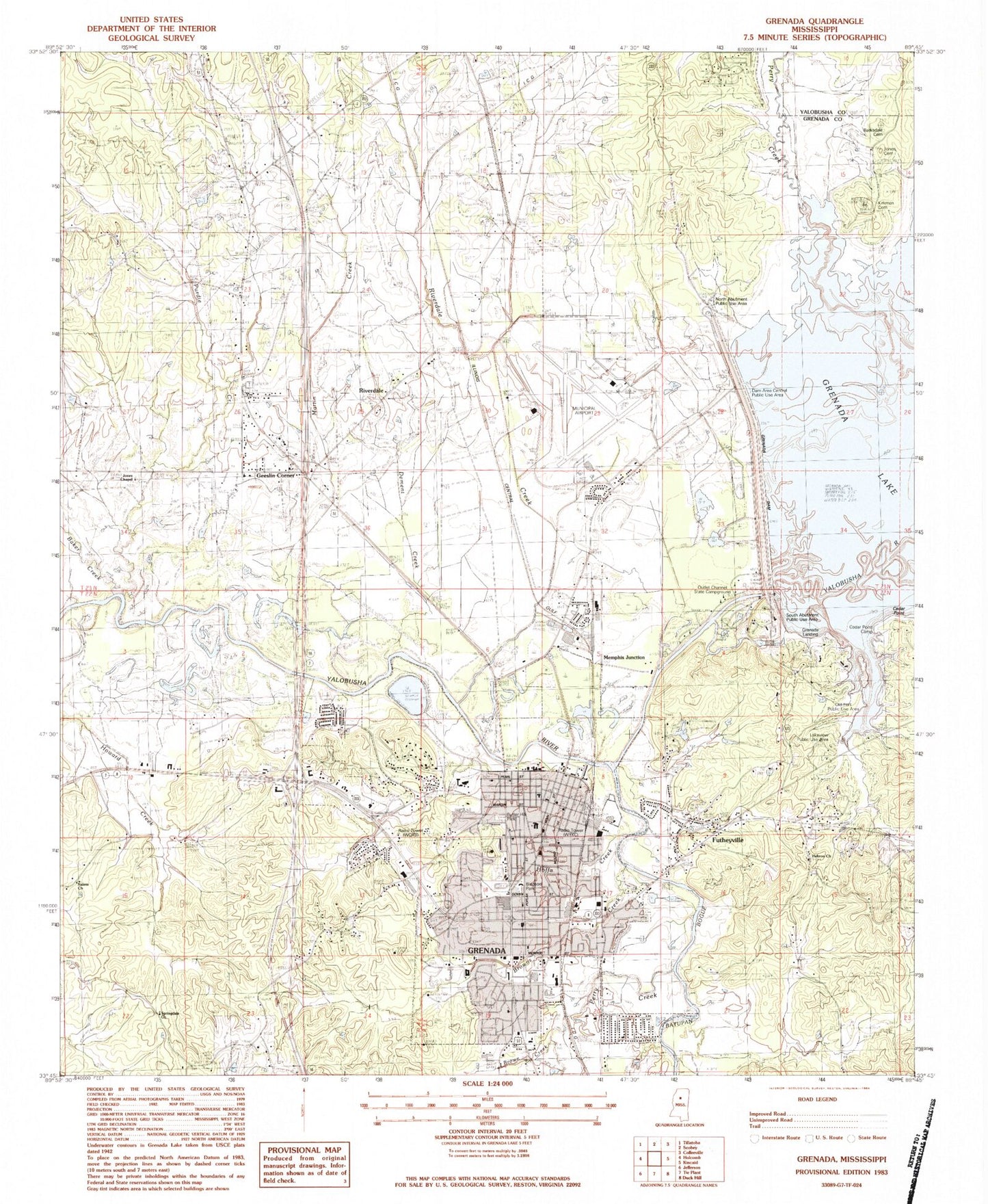
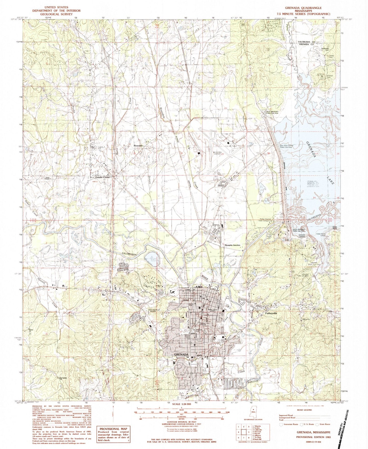
Classic USGS Grenada Mississippi 7.5'x7.5' Topo Map
Couldn't load pickup availability
Historical USGS topographic quad map of Grenada in the state of Mississippi. Map scale may vary for some years, but is generally around 1:24,000. Print size is approximately 24" x 27"
This quadrangle is in the following counties: Grenada, Yalobusha.
The map contains contour lines, roads, rivers, towns, and lakes. Printed on high-quality waterproof paper with UV fade-resistant inks, and shipped rolled.
Contains the following named places: All Saints Episcopal Church, Baker Creek, Barksdale Cemetery, Batupan Bogue, Bell Flowers Baptist Church, Bledsoe Park, Brick Academy, Brown Creek, Burning Bush Baptist Church, Butler Hill Park, Calvary Baptist Church, Carrie Dotson Elementary School, Cedar Point, Cedar Point Camp, Chapel Hill Church, Chapel Hill School, Church of Christ, Church of God in Christ, City of Grenada, Confederate Cemetery, Dam Area Central Public Use Area, Dement Creek, Emerald Garden Plantation, Emmanuel Baptist Church, Enon Baptist Church, First Baptist Church, First Church of the Nazarene, First New Hope Missionary Baptist Church, First Presbyterian Church, First United Methodist Church, Frog Hollow Campground, Futheyville, Geeslin Corner, Gibbs Creek, Grace United Methodist Church, Greater Powell Chapel African Methodist Episcopal Church, Grenada, Grenada Army Air Field, Grenada Church of Christ, Grenada County, Grenada County Courthouse, Grenada County Sheriff's Office, Grenada Dam, Grenada Farms Pond Dam, Grenada Fire Department Station 1, Grenada Fire Department Station 2, Grenada Fire Department Station 4, Grenada High School, Grenada Junior High School, Grenada Landing, Grenada Municipal Airport, Grenada Plaza Shopping Center, Grenada Police Department, Grenada Post Office, Grenada Vocational Complex, Grenada Yacht Basin, Hanwood Lake Dam, Haserway, Hebron Baptist Church, Hebron Cemetery, Jones Cemetery, Jones Chapel, Jones Chapel Cemetery, Kirkman, Kirkman Cemetery, Kirkman Landing, Lakeview Public Use Area, Lakewood Methodist Church, Lickfold Lake Dam, Lizzie Horn Elementary School, Martin Creek, Memphis Junction, North Abutment Public Use Area, Old Fort Public Use Area, Outlet Channel State Campground, Perry Creek, Purdie Creek, Riverdale, Riverdale Creek, Saint Peters Catholic Church, Salem Church, Sherman Ferry, South Abutment Public Use Area, Southside Church of Christ, Spencer Field, Springdale Church, Supervisor District 4, The University of Mississippi Medical Center - Grenada, Tie Plant Volunteer Fire Department, Troy, Vincent United Methodist Church, Willia Wilson Elementary School, WQXB-FM (Grenada), WYKC-AM (Grenada), ZIP Code: 38901


