MyTopo
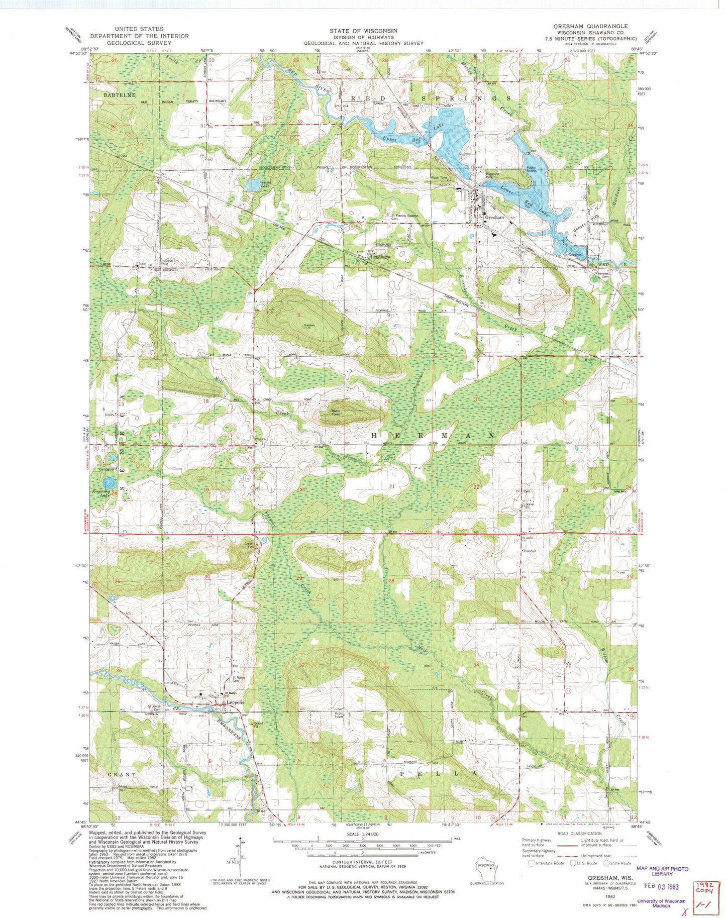
Classic USGS Gresham Wisconsin 7.5'x7.5' Topo Map
Couldn't load pickup availability
Historical USGS topographic quad map of Gresham in the state of Wisconsin. Map scale may vary for some years, but is generally around 1:24,000. Print size is approximately 24" x 27"
This quadrangle is in the following counties: Shawano.
The map contains contour lines, roads, rivers, towns, and lakes. Printed on high-quality waterproof paper with UV fade-resistant inks, and shipped rolled.
Contains the following named places: Elias Church, Elias Lutheran Cemetery, Gardner Creek, Gresham, Gresham 2WP 1540 Dam, Gresham Area Fire Department, Gresham Elementary School, Gresham Middle / High School, Gresham Pond 147, Gresham Post Office, Hermansfort School, Hohn School, Jung Hemlock-Beech Forest State Natural Area, Kroening Lake, Leopolis, Leopolis Census Designated Place, Leopolis Post Office, Lower Red Lake, Lyndhurst, Miller Creek, Range Line School, Riverside Park, Saint Francis Solanus Cemetery, Saint John Cemetery, Saint John Lutheran Church, Saint Johns Lutheran Cemetery, Saint Marys Cemetery, Shawano County, Smith Lake, Spencer Creek, Town of Herman, Upper Red Lake, Village of Gresham, Willow Creek, Willow Creek School, ZIP Code: 54948