MyTopo
Classic USGS Gretna Florida 7.5'x7.5' Topo Map
Couldn't load pickup availability
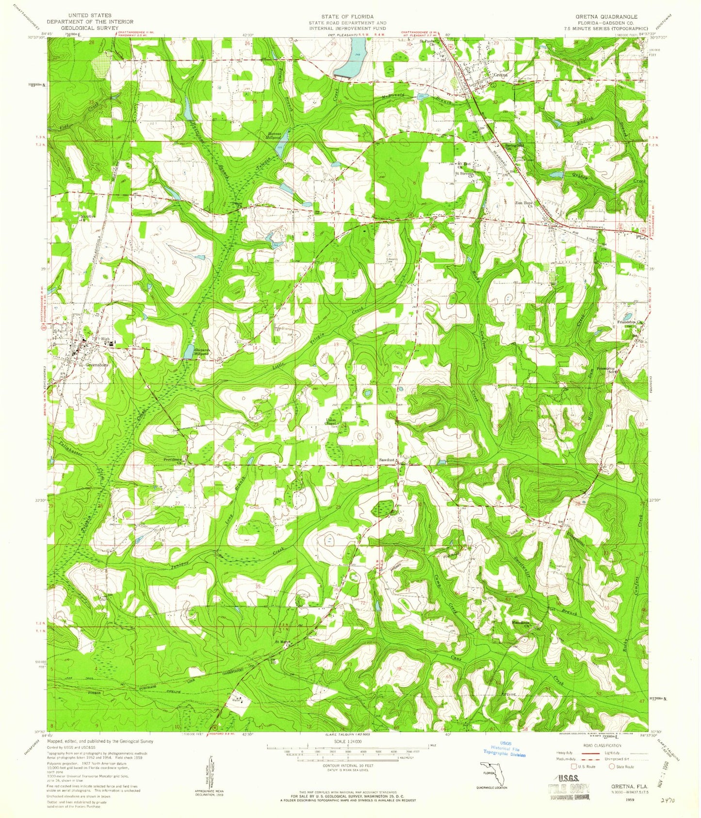
Historical USGS topographic quad map of Gretna in the state of Florida. Map scale may vary for some years, but is generally around 1:24,000. Print size is approximately 24" x 27"
This quadrangle is in the following counties: Gadsden.
The map contains contour lines, roads, rivers, towns, and lakes. Printed on high-quality waterproof paper with UV fade-resistant inks, and shipped rolled.
Contains the following named places: A S T Kraysland Pond, Byron Sube Mill Pond, C W Thomas Lake, Camp Creek, City of Gretna, Douglas City, Edwards Cemetery, English Branch, Friendship Church, Friendship School, Gadsden Correctional Institution, Greensboro, Greensboro Elementary School, Greensboro High School, Greensboro Police Department, Greensboro Post Office, Greensboro Volunteer Fire Department, Gretna, Gretna Elementary School, Gretna Police Department, Gretna Post Office, Gretna Volunteer Fire Department, Hannas Millpond, Hanno Mill Pond, Hurricane Branch, Juniper Creek, Little Telogia Creek, Long Branch, Macedonia Church, McDonald Branch, Mill Dam Creek, Mount Olive Church, Mount Zion Church, Peace Church, Pitman Branch, Providence Church, Quincy Lookout Tower, Saint Marys Church, Saint Pauls Church, Saint Stevens Church, Sawdust, Shepards Millpond, Springfield School, Sunny Dell Cemetery, Sweetwater Branch, Tallahassee Creek, Town of Greensboro, Union Chapel, Vote Creek, Watson Farm Airport, Zion Hope Church, ZIP Codes: 32332, 32351