MyTopo
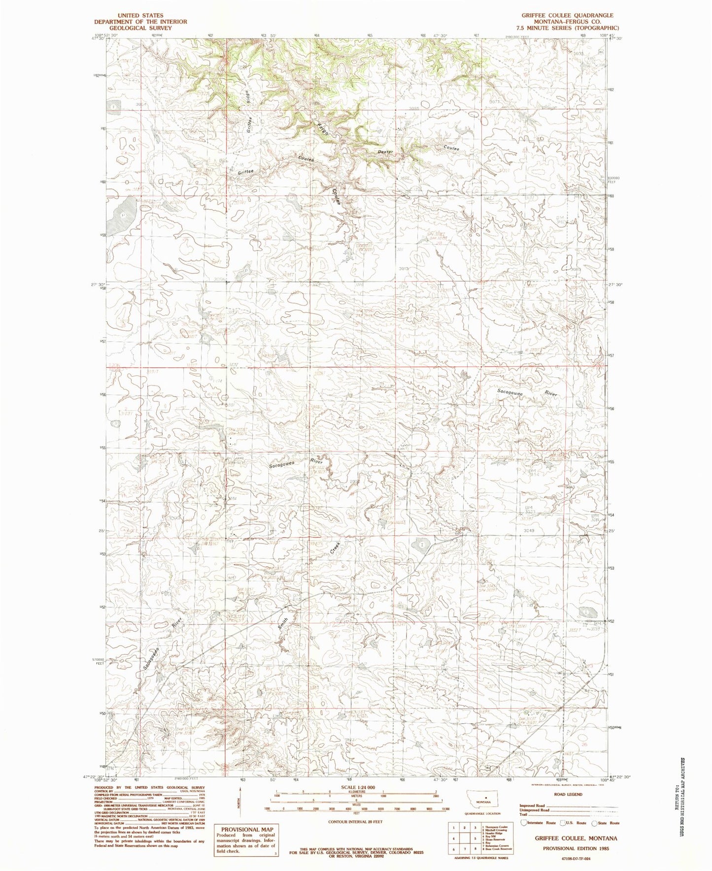
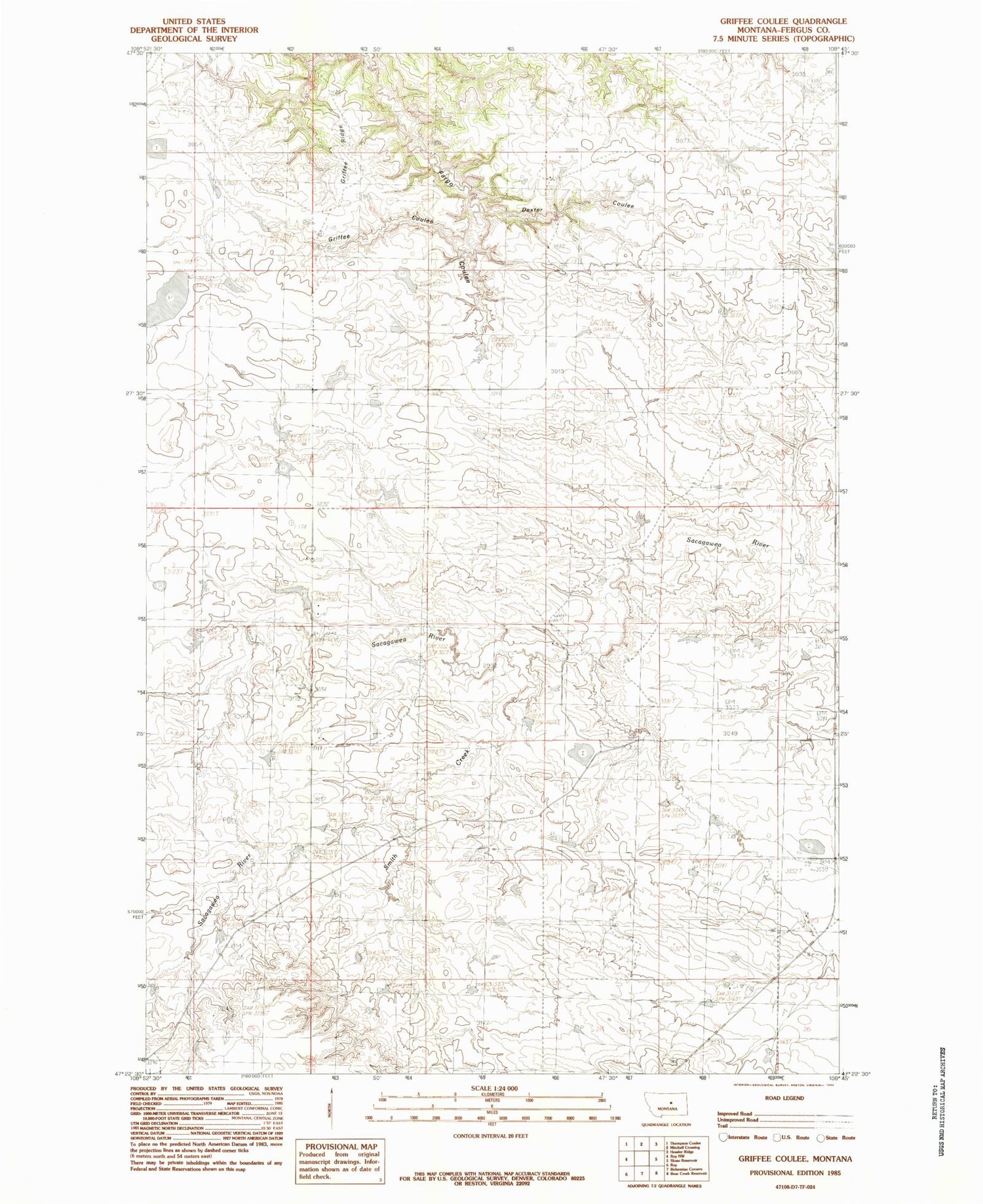
Classic USGS Griffee Coulee Montana 7.5'x7.5' Topo Map
Regular price
$16.95
Regular price
Sale price
$16.95
Unit price
per
Couldn't load pickup availability
Historical USGS topographic quad map of Griffee Coulee in the state of Montana. Map scale may vary for some years, but is generally around 1:24,000. Print size is approximately 24" x 27"
This quadrangle is in the following counties: Fergus.
The map contains contour lines, roads, rivers, towns, and lakes. Printed on high-quality waterproof paper with UV fade-resistant inks, and shipped rolled.
Contains the following named places: 19N23E06BC__01 Well, 20N23E21BBD_01 Well, 59471, Cimrhaki School, Cimrhakl Number 3 Dam, Cimrhakle Number 2 Dam, Coal Hill School, Dexter Coulee, Griffee Coulee, Griffee Ridge, Lazy JD Number 10 Dam, Willmore Dam