MyTopo
Classic USGS Griffin Coulee NW Montana 7.5'x7.5' Topo Map
Regular price
$16.95
Regular price
Sale price
$16.95
Unit price
per
Couldn't load pickup availability
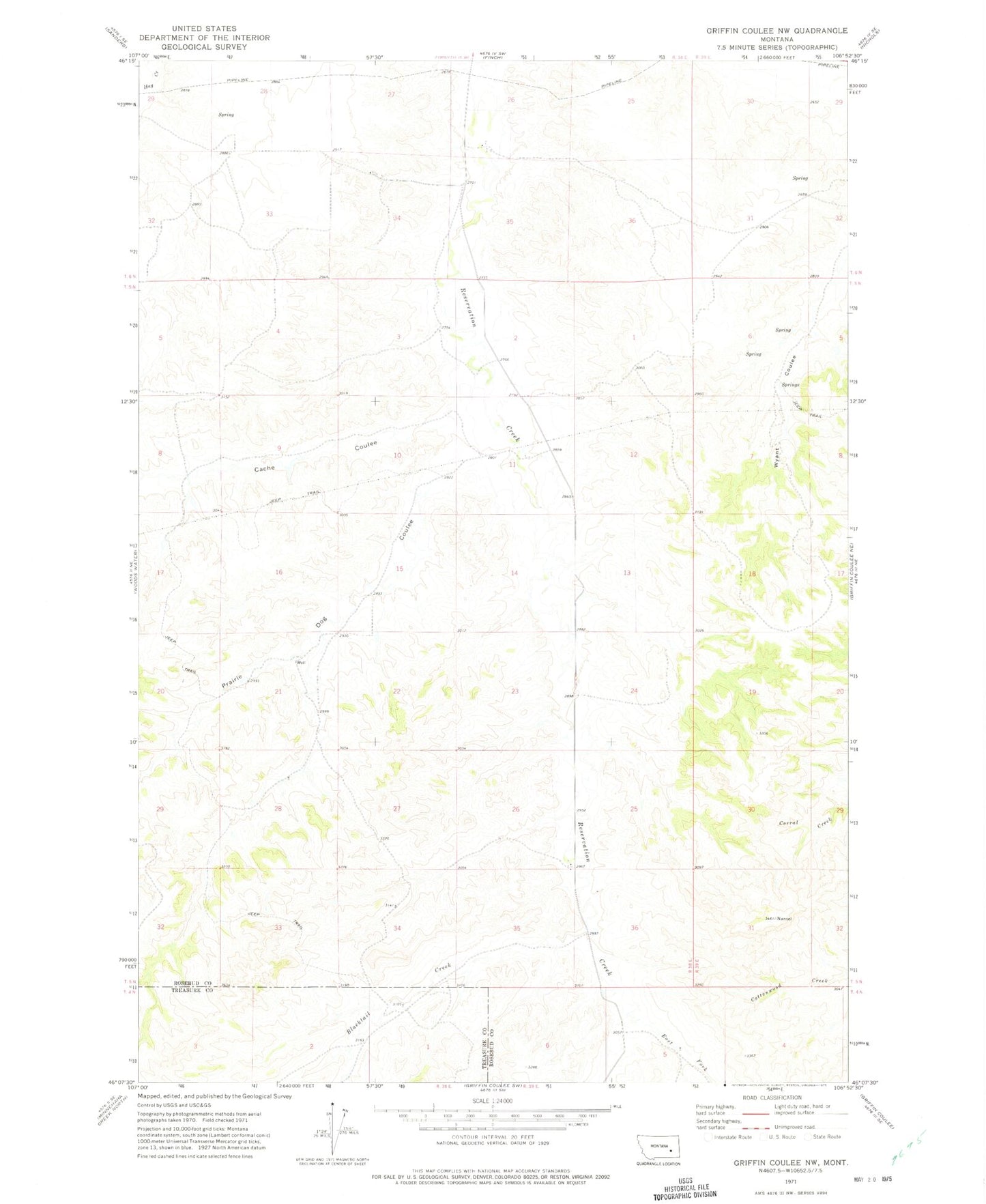
Historical USGS topographic quad map of Griffin Coulee NW in the state of Montana. Map scale may vary for some years, but is generally around 1:24,000. Print size is approximately 24" x 27"
This quadrangle is in the following counties: Rosebud, Treasure.
The map contains contour lines, roads, rivers, towns, and lakes. Printed on high-quality waterproof paper with UV fade-resistant inks, and shipped rolled.
Contains the following named places: 05N38E14B___01 Well, 05N38E26DDDD01 Well, 05N46E15CBDD01 Well, Ash Grove School, Blacktail Creek, Cache Coulee, East Fork Reservation Creek, Pendlebury School, Prairie Dog Coulee, U M School