MyTopo
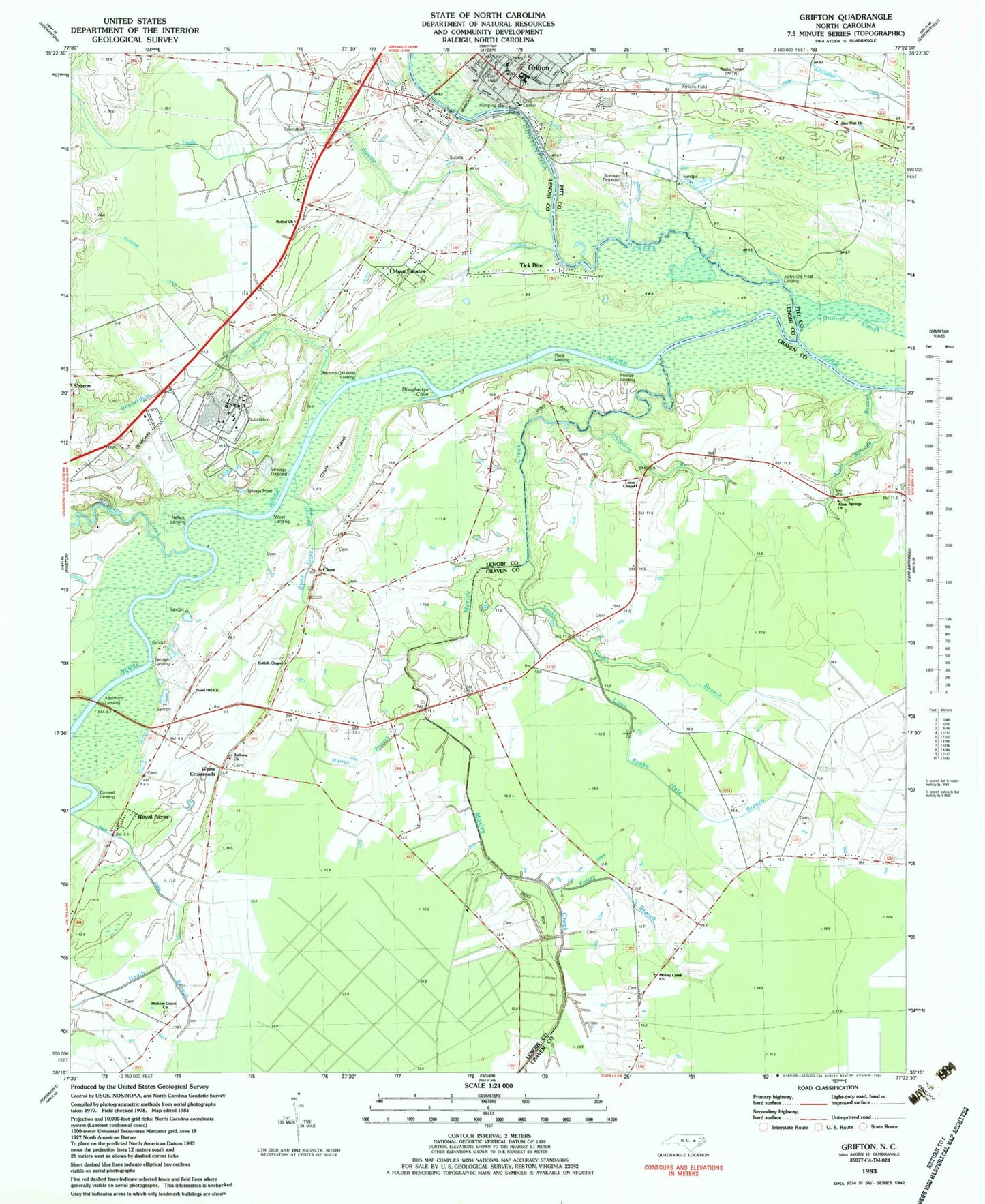
Classic USGS Grifton North Carolina 7.5'x7.5' Topo Map
Couldn't load pickup availability
Historical USGS topographic quad map of Grifton in the state of North Carolina. Map scale may vary for some years, but is generally around 1:24,000. Print size is approximately 24" x 27"
This quadrangle is in the following counties: Craven, Lenoir, Pitt.
The map contains contour lines, roads, rivers, towns, and lakes. Printed on high-quality waterproof paper with UV fade-resistant inks, and shipped rolled.
Contains the following named places: Albrittons Landing, Alligator Branch, Alligator Canal, Alum Springs Branch, Alum Springs Church, Beaverdam Branch, Bectons Old Field Landing, Bethany Church, Bethel Church, Bone Gray Branch, British Chapel, Caswell Landing, Channel 7 Canal, Clark Field, Closs, Contentnea Creek, Cox Canal, Doughertys Cove, Eagle Swamp, Folley Branch, Fort Barnwell Volunteer Fire Department, Grifton, Grifton City Hall, Grifton Pentecostal Holiness Church, Grifton Police Department, Grifton Post Office, Grifton Rescue Squad, Grifton School, Grifton United Methodist Church, Grifton Volunteer Fire Department Station 43, Grinnel Slough, Harrys Branch, Hickory Grove Church, Jacks Slough, John Hill Mobile Home Park, Jollys Old Field Landing, Lanes Chapel, Little Snake Hole Branch, Live Oak Church, Mosley Creek, Mosley Creek Church, Nelson Landing, Oak Bridge, Pearce Landing, Plank Landing, Rhem Canal, Royal Acres, Sand Hill Church, Sand Hill Volunteer Fire Department, Snake Hole Branch, Stonyton Creek, Terrapin Landing, Tick Bite, Town of Grifton, Township of Contentnea Neck, Township of Sand Hill, Tracey Swamp, Urban Estates, West Crossroads, West Landing, WITN-FM (Washington), WITN-TV (Washington), WNCT-FM (Greenville), WNCT-TV (Greenville), ZIP Code: 28530


