MyTopo
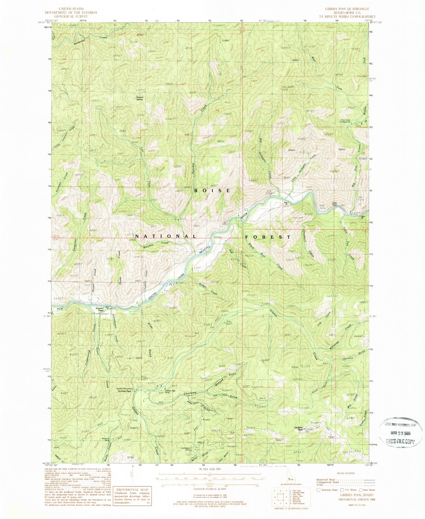
Classic USGS Grimes Pass Idaho 7.5'x7.5' Topo Map
Couldn't load pickup availability
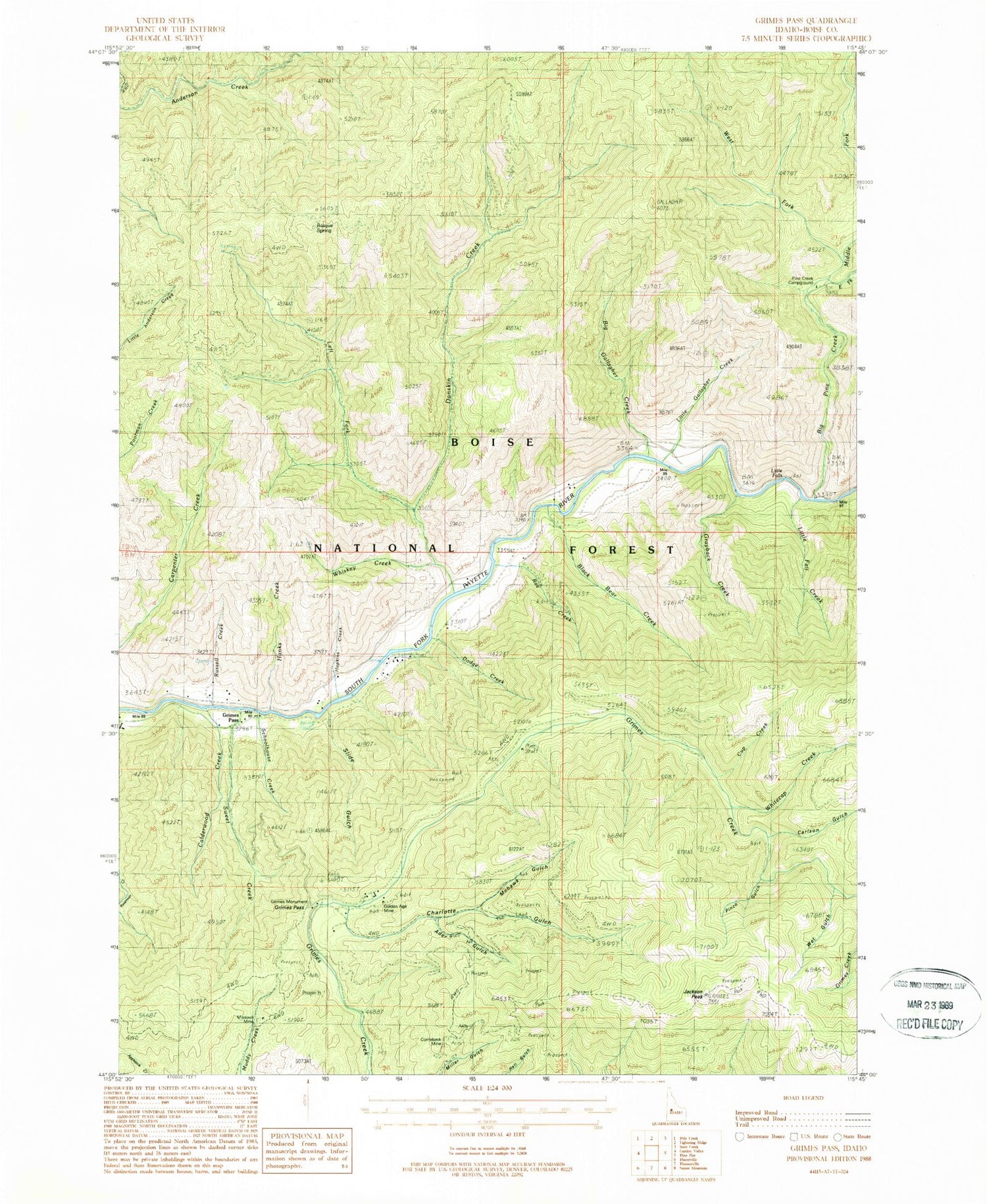
Historical USGS topographic quad map of Grimes Pass in the state of Idaho. Map scale may vary for some years, but is generally around 1:24,000. Print size is approximately 24" x 27"
This quadrangle is in the following counties: Boise.
The map contains contour lines, roads, rivers, towns, and lakes. Printed on high-quality waterproof paper with UV fade-resistant inks, and shipped rolled.
Contains the following named places: Ader Gulch, Basque Spring, Big Gallagher Creek, Big Pine Creek, Black Bear Creek, Calderwood Creek, Carlson Gulch, Charlotte Gulch, Comeback Mine, Cup Creek, Danskin Creek, Diana School, Dodge Creek, East Fork Big Pine Creek, Forks of Big Pine Creek Campground, Gallagher Guard Station, Gallagher Pasture, Gallagher Peak, Golden Age Mine, Golden Age Mine Heliport, Grayback Creek, Grimes Monument, Grimes Pass, Hanks Creek, Hopkins Creek, Jackson Peak, Left Fork Danskin Creek, Little Fall Creek, Little Falls, Little Gallagher Creek, Middle Fork Big Pine Creek, Missouri Mine, Mohawk Gulch, Oro Mine, Pinch Gulch, Pine Creek Campground, Rae Creek, Russell Creek, Schoolhouse Creek, Slide Gulch, Sweet Creek, West Fork Big Pine Creek, Wet Gulch, Whiskey Creek, Whitecap Creek


