MyTopo
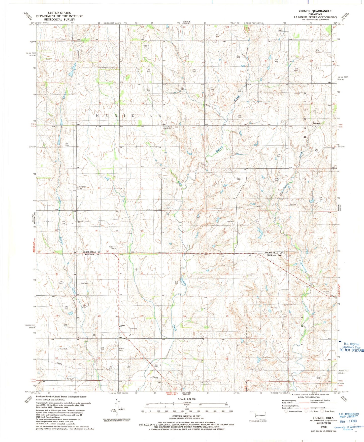
Classic USGS Grimes Oklahoma 7.5'x7.5' Topo Map
Couldn't load pickup availability
Historical USGS topographic quad map of Grimes in the state of Oklahoma. Map scale may vary for some years, but is generally around 1:24,000. Print size is approximately 24" x 27"
This quadrangle is in the following counties: Beckham, Roger Mills.
The map contains contour lines, roads, rivers, towns, and lakes. Printed on high-quality waterproof paper with UV fade-resistant inks, and shipped rolled.
Contains the following named places: Brookside Cemetery, Buffalo Cemetery, Buffalo Church, Fuchs Dam, Fuchs Reservoir, Grimes, KVIJ-TV (Sayre), McLaury Number 2 Dam, McLaury Number 2 Reservoir, Oknoname 129009 Dam, Oknoname 129009 Reservoir, Shirley Thompson Dam, Shirley Thompson Reservoir, South Roger Mills Division, Sunny Point Community Center, Wayland Cemetery