MyTopo
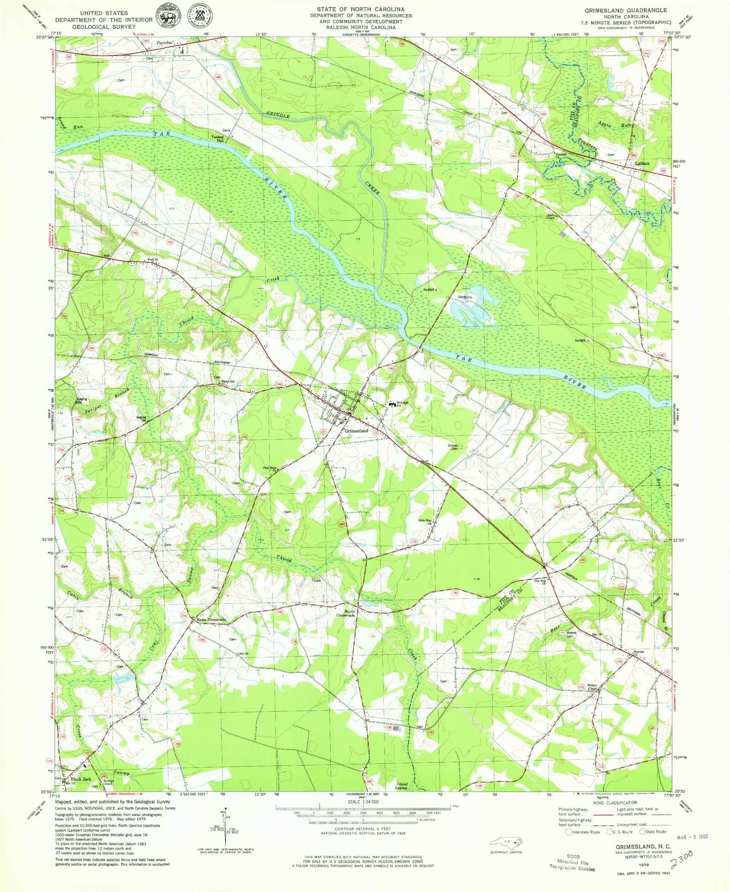
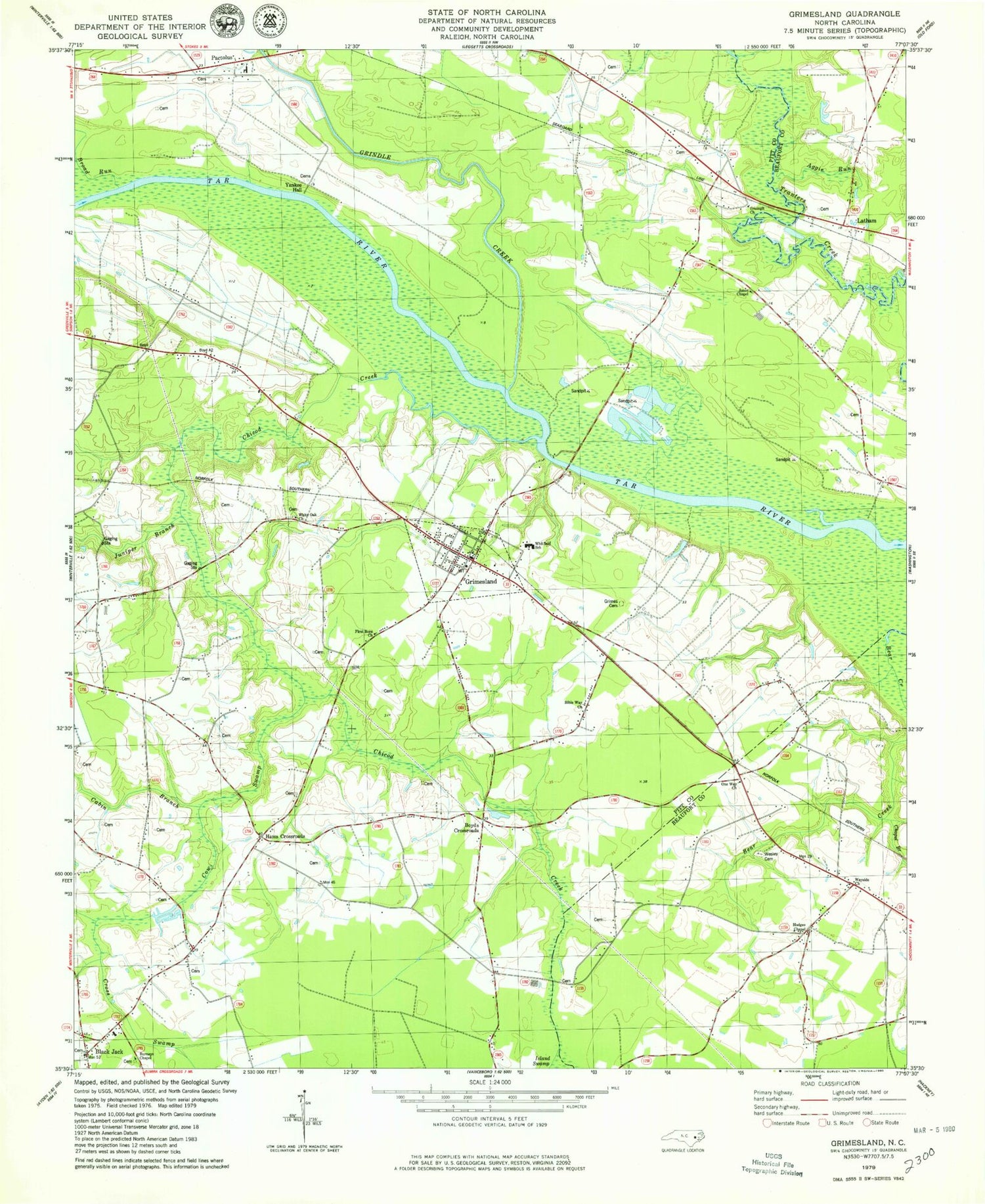
Classic USGS Grimesland North Carolina 7.5'x7.5' Topo Map
Couldn't load pickup availability
Historical USGS topographic quad map of Grimesland in the state of North Carolina. Map scale may vary for some years, but is generally around 1:24,000. Print size is approximately 24" x 27"
This quadrangle is in the following counties: Beaufort, Pitt.
The map contains contour lines, roads, rivers, towns, and lakes. Printed on high-quality waterproof paper with UV fade-resistant inks, and shipped rolled.
Contains the following named places: Aggie Run, Avon Landing, Bible Way Church, Black Jack, Black Jack Fire Department, Blakleys Fishery, Boyd Crossroads, Boyd Ferry, Boyd Field, Broad Run, Bryan, Burneys Chapel, Cabin Branch, Chapel Branch, Chicod Creek, Clarks Landing, Clarks Neck Volunteer Fire Department Station 1, Cow Swamp, Cross Swamp, First Born Church, G R Whitefield School, Grimes Cemetery, Grimes Landing, Grimes Millpond, Grimesland, Grimesland Pentecostal Church, Grimesland Post Office, Grimesland Town and Rural Fire Department, Grindle Creek, Hams Crossroads, Hodges Chapel, Holy Ghost Deliverance Church, Island Swamp, Jones Chapel, Juniper Branch, Latham, One Way Church, Pactolus Elementary School, Pactolus Emergency Medical Services, Pactolus Volunteer Fire Department, Panther Creek, Piney Grove Church, Town of Grimesland, Township of Grimesland, Triumph Church, Wayside Church, Wesley Cemetery, White Oak Church, Yankee Hall, ZIP Code: 27837


