MyTopo
Classic USGS Grinnell North Iowa 7.5'x7.5' Topo Map
Couldn't load pickup availability
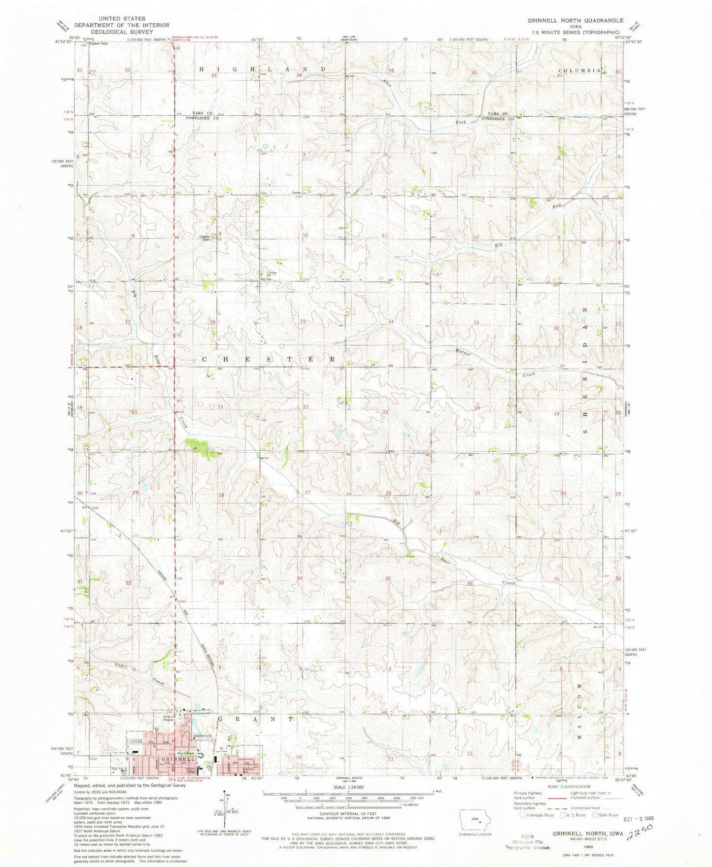
Historical USGS topographic quad map of Grinnell North in the state of Iowa. Map scale may vary for some years, but is generally around 1:24,000. Print size is approximately 24" x 27"
This quadrangle is in the following counties: Poweshiek, Tama.
The map contains contour lines, roads, rivers, towns, and lakes. Printed on high-quality waterproof paper with UV fade-resistant inks, and shipped rolled.
Contains the following named places: Calvary Baptist Church, Chester, Chester Cemetery, Chester Center Post Office, Chester Church, Clark Residence Hall, Conney M Kimbo Black Cultural Center, Cowles Residence Hall, Dibble Residence Hall, East Campus Residence Halls, Fairview Elementary School, Gale Observatory, Gates Residence Hall, Grinnell Community Senior High School, Grinnell Country Club, Harris Center, Immanuel Lutheran Church, Jane Springer Sports Field, KGRN-AM (Grinnell), Les Duke Track, MacEachron Field, Merrill Park, Norris Residence Hall, Paul W Ahrens / James Paschall Memorial Park, Physical Education Complex, President's House, Rawson Residence Hall, Rosenbloom Football Field, Sonora, Sonora Post Office, Township of Chester, Van-Horne Park, Ward Field


