MyTopo
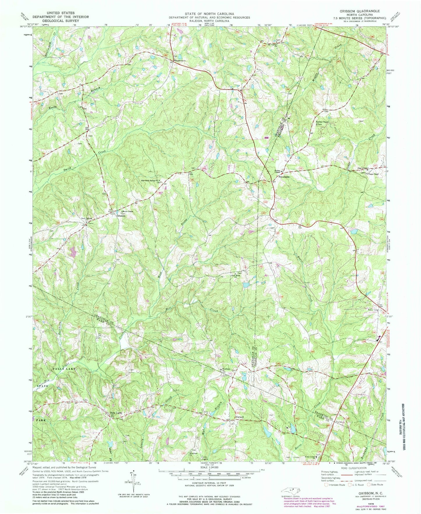
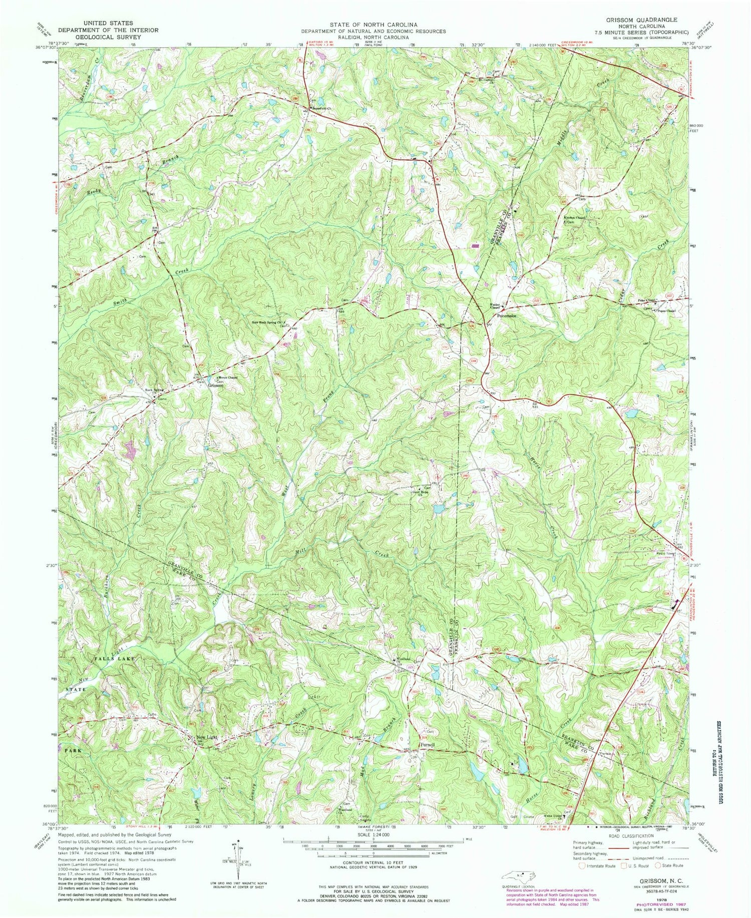
Classic USGS Grissom North Carolina 7.5'x7.5' Topo Map
Couldn't load pickup availability
Historical USGS topographic quad map of Grissom in the state of North Carolina. Typical map scale is 1:24,000, but may vary for certain years, if available. Print size: 24" x 27"
This quadrangle is in the following counties: Franklin, Granville, Wake.
The map contains contour lines, roads, rivers, towns, and lakes. Printed on high-quality waterproof paper with UV fade-resistant inks, and shipped rolled.
Contains the following named places: Brassfield Church, Buckhorn Creek, Camp Kanata, Efland Millpond, Good Hope Baptist Church, Grissom, Kinches Chapel, Marys Chapel, Mill Creek, Mount Carmel Church, New Light, New Rock Spring Church, Poke Chapel, Rock Spring Church, Wake Union Church, West Prong New Light Creek, Woodland Church, Woodland Church, Calvin Ray Pond, Masons Pond Dam, Kinches School (historical), Maple Springs School (historical), Popes Chapel, Wesley Chapel, Pocomoke, Purnell, Township of Brassfield, Bragg School (historical), Brassfield School (historical), Cedar Grove Church (historical), Sunrise School (historical), Brassfield Volunteer Fire Department Station 16


