MyTopo
Classic USGS Grizzly Creek Idaho 7.5'x7.5' Topo Map
Regular price
$16.95
Regular price
Sale price
$16.95
Unit price
per
Couldn't load pickup availability
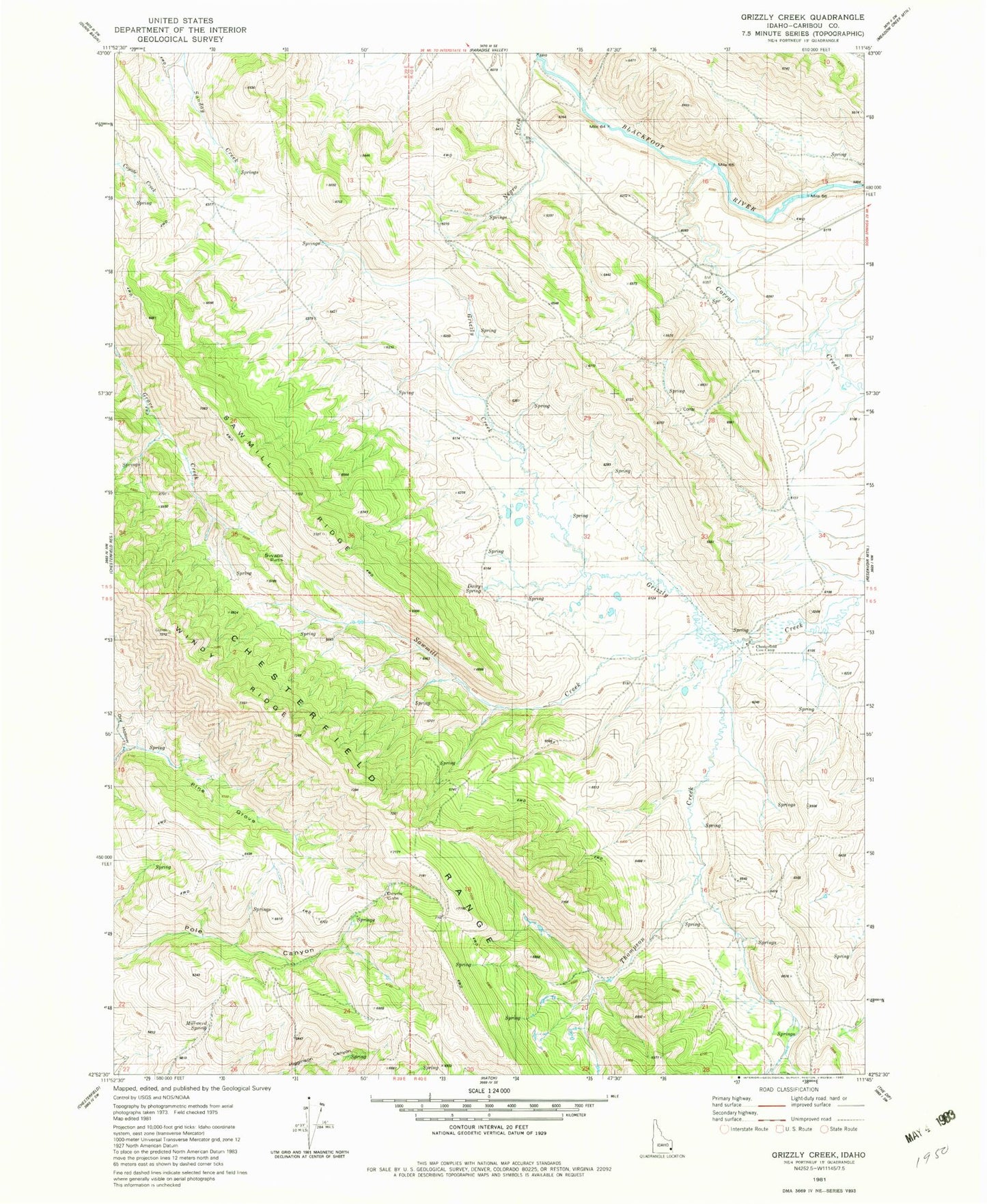
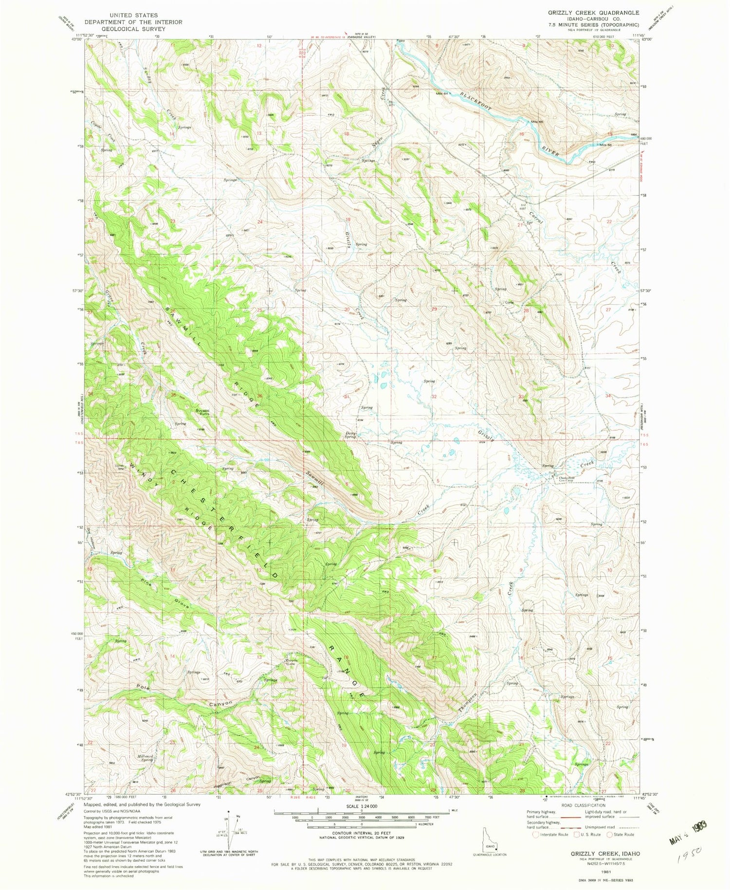
Historical USGS topographic quad map of Grizzly Creek in the state of Idaho. Map scale may vary for some years, but is generally around 1:24,000. Print size is approximately 24" x 27"
This quadrangle is in the following counties: Caribou.
The map contains contour lines, roads, rivers, towns, and lakes. Printed on high-quality waterproof paper with UV fade-resistant inks, and shipped rolled.
Contains the following named places: Chesterfield Cow Camp, Corral Creek, Dairy Springs, Devils Gate, Dry Hollow, Millward Spring, Pine Grove, Sawmill Creek, Sawmill Ridge, Swaps Pass, Thompson Creek, Windy Ridge