MyTopo
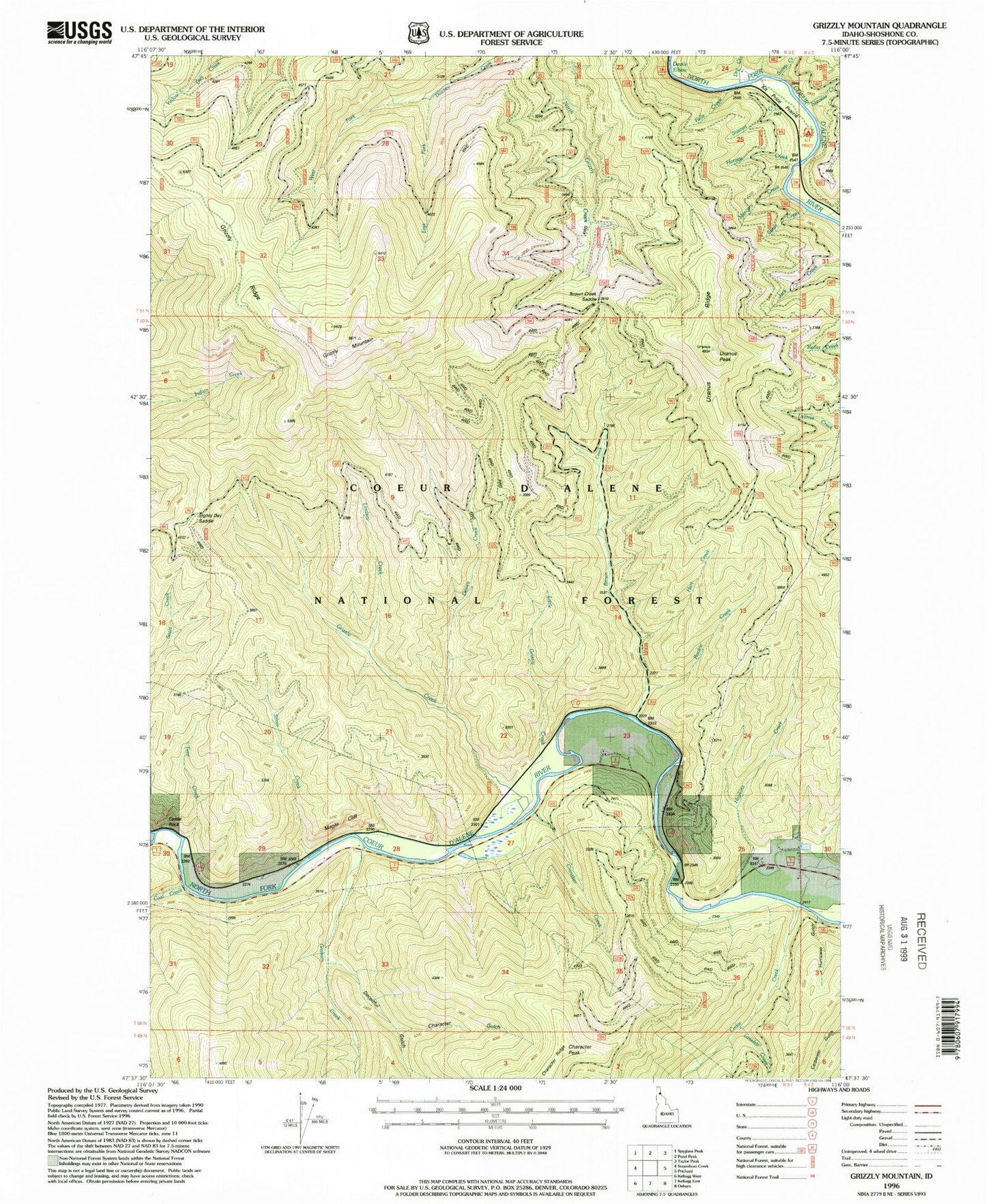
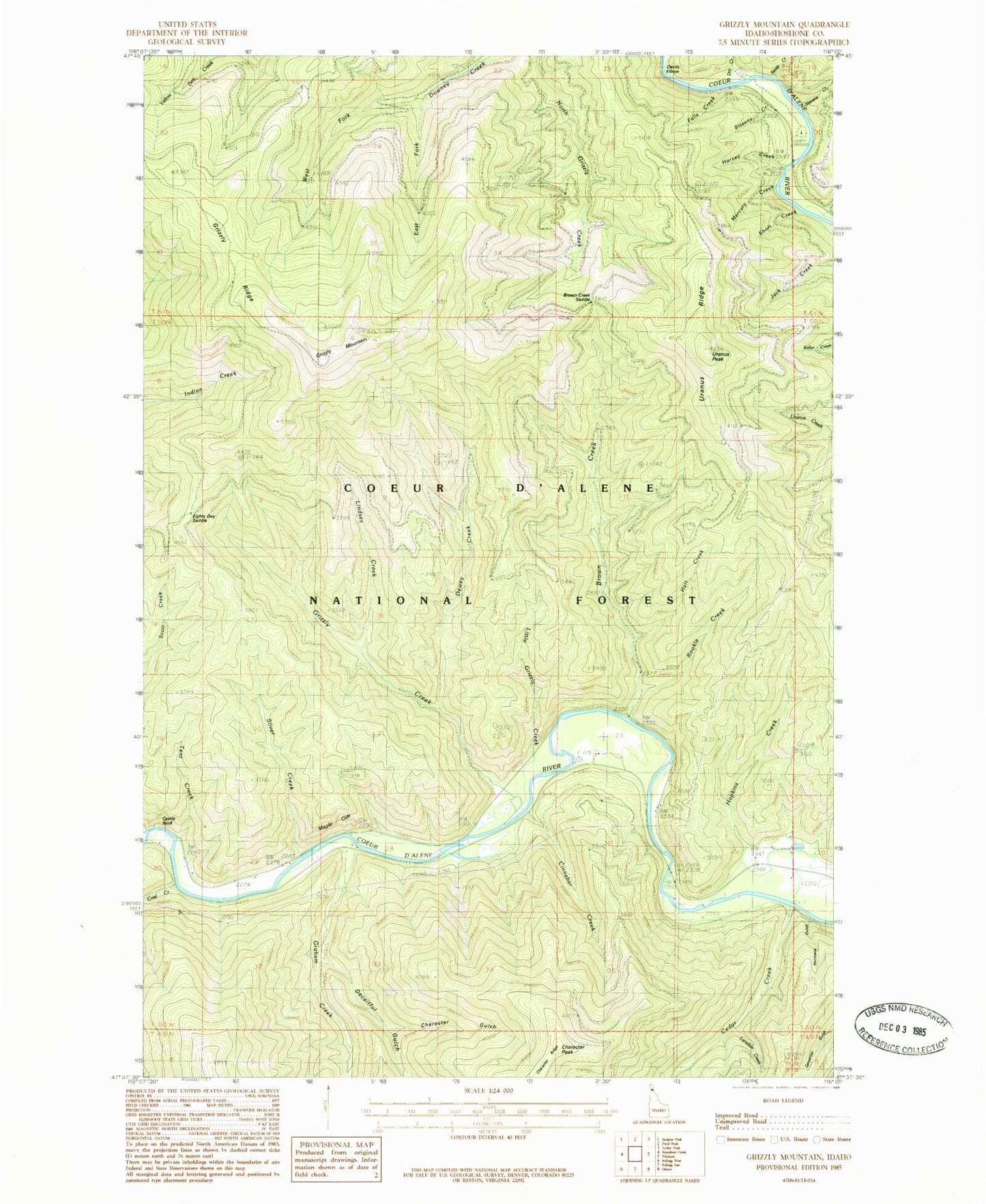
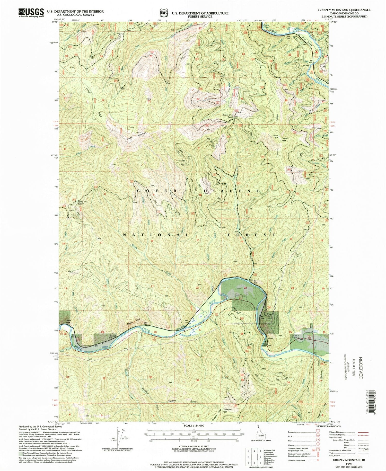
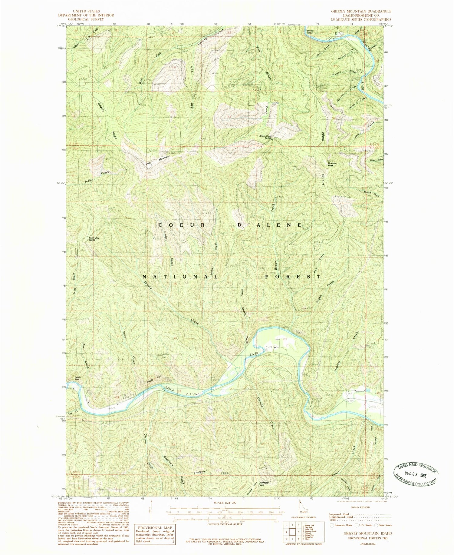
Classic USGS Grizzly Mountain Idaho 7.5'x7.5' Topo Map
Couldn't load pickup availability
Historical USGS topographic quad map of Grizzly Mountain in the state of Idaho. Typical map scale is 1:24,000, but may vary for certain years, if available. Print size: 24" x 27"
This quadrangle is in the following counties: Shoshone.
The map contains contour lines, roads, rivers, towns, and lakes. Printed on high-quality waterproof paper with UV fade-resistant inks, and shipped rolled.
Contains the following named places: Hopkins Creek, Brown Creek, Brown Creek Saddle, Castle Rock, Cedar Creek, Character Gulch, Cinnabar Creek, Coal Creek, Deceitful Gulch, Dewey Creek, Dry Creek, East Fork Downey Creek, Graham Creek, Grizzly Mountain, Grizzly Ridge, Hart Creek, Hurricane Gulch, Kit Price Prairie, Lansdale Creek, Lindsey Creek, Little Grizzly Creek, Maple Cliff, Rookie Creek, Silver Creek, Sissons Campground, Sissons Creek, Stevens Creek, Tent Creek, Uranus Peak, Uranus Ridge, Venus Creek, West Fork Downey Creek, Kit Price Campground, Mercury Creek, Eighty Day Saddle, Falls Creek, Harvey Creek, Short Creek, Steep Creek, Character Peak, Devils Elbow, Nelson (historical), Grizzly Creek