MyTopo
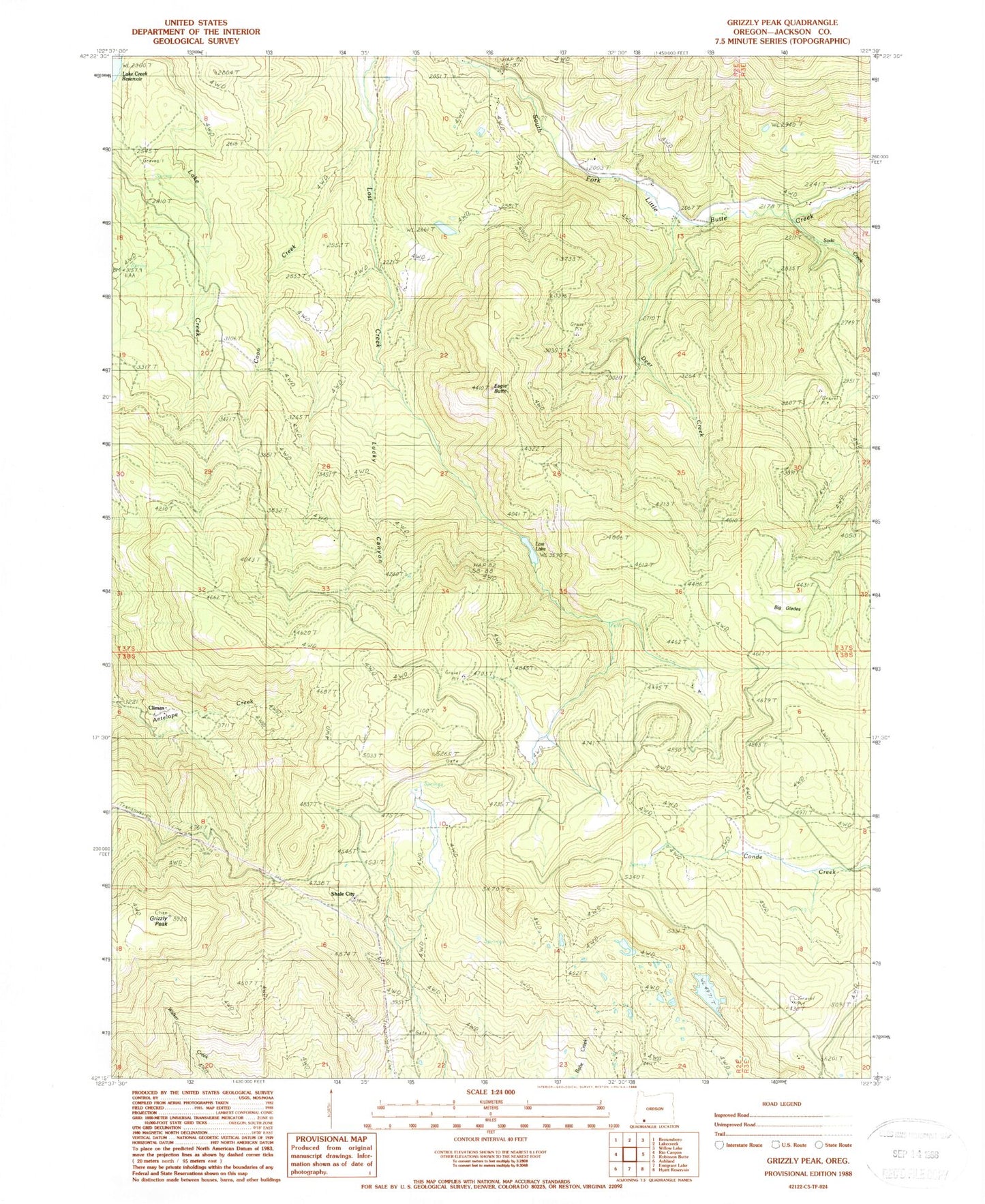
Classic USGS Grizzly Peak Oregon 7.5'x7.5' Topo Map
Couldn't load pickup availability
Historical USGS topographic quad map of Grizzly Peak in the state of Oregon. Map scale may vary for some years, but is generally around 1:24,000. Print size is approximately 24" x 27"
This quadrangle is in the following counties: Jackson.
The map contains contour lines, roads, rivers, towns, and lakes. Printed on high-quality waterproof paper with UV fade-resistant inks, and shipped rolled.
Contains the following named places: Big Glades, Big Lake, Bybee Gulch, Charley Creek, Climax, Climax Post Office, Cold Spring Creek, Coon Creek, Deer Creek, Donsmore Spring, Eagle Butte, Grizzly Peak, Guidottie Reservoir, Harrison Creek, Lake Creek Cemetery, Light Valley Tree Farm Heliport, Lost Lake, Lost Lake Dam, Lucky Canyon, Red Fir Spring, Shale City, Shale City Reservoirs, Soda Creek, Spring Creek