MyTopo
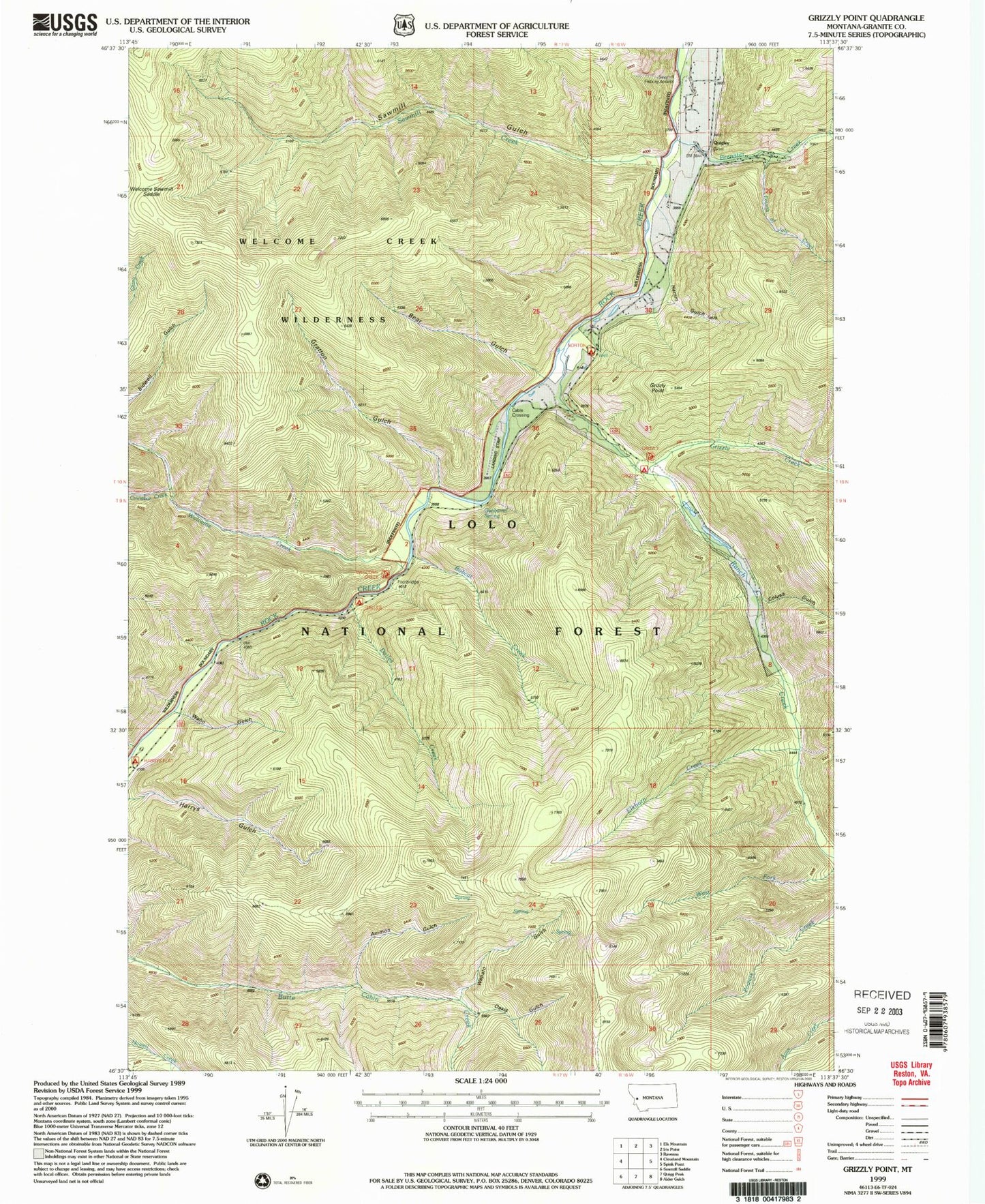
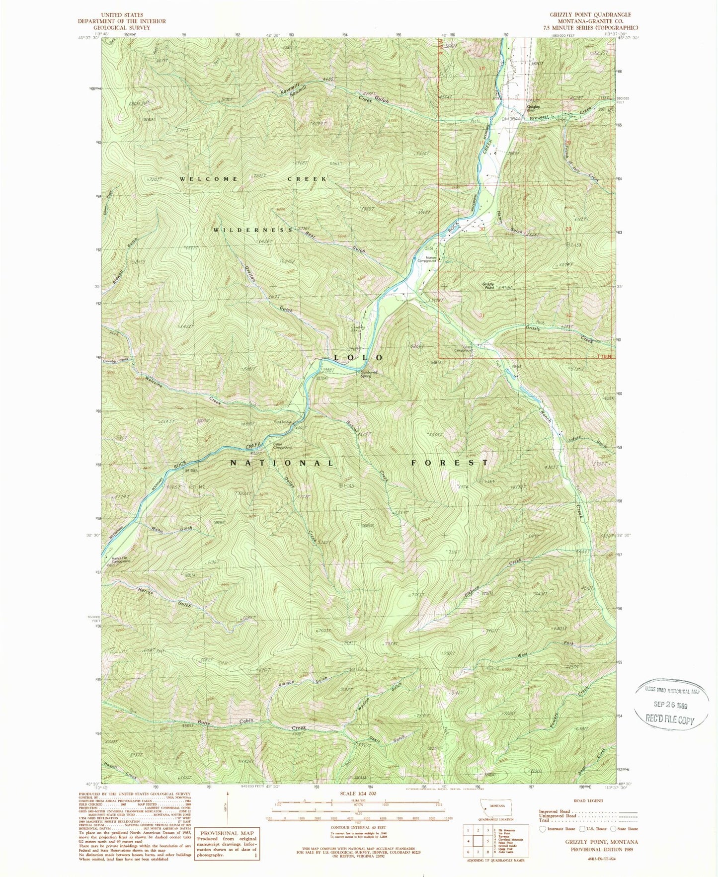
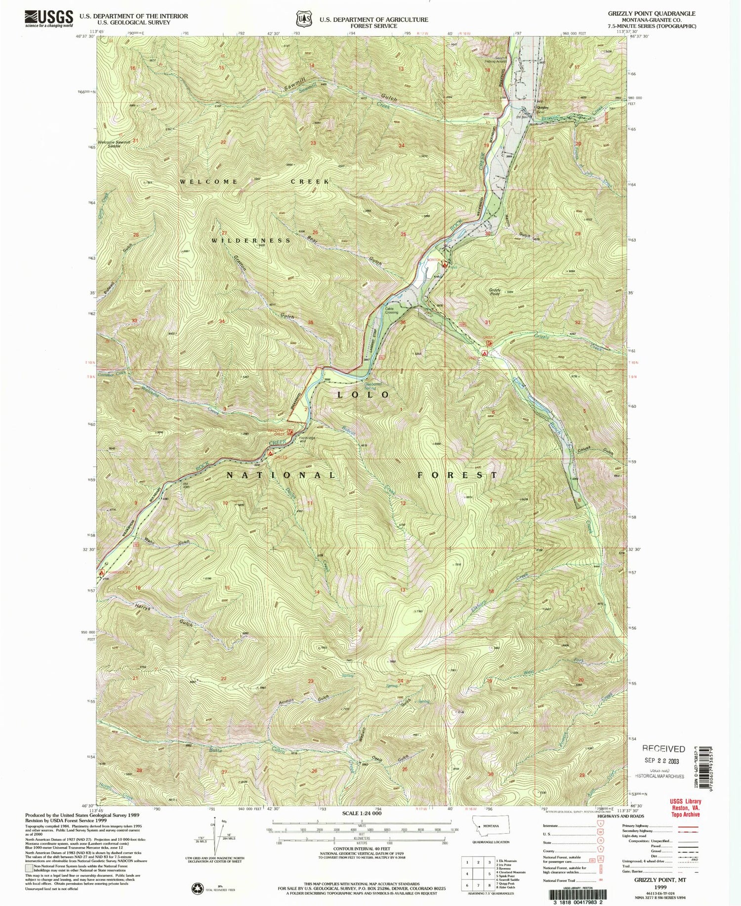
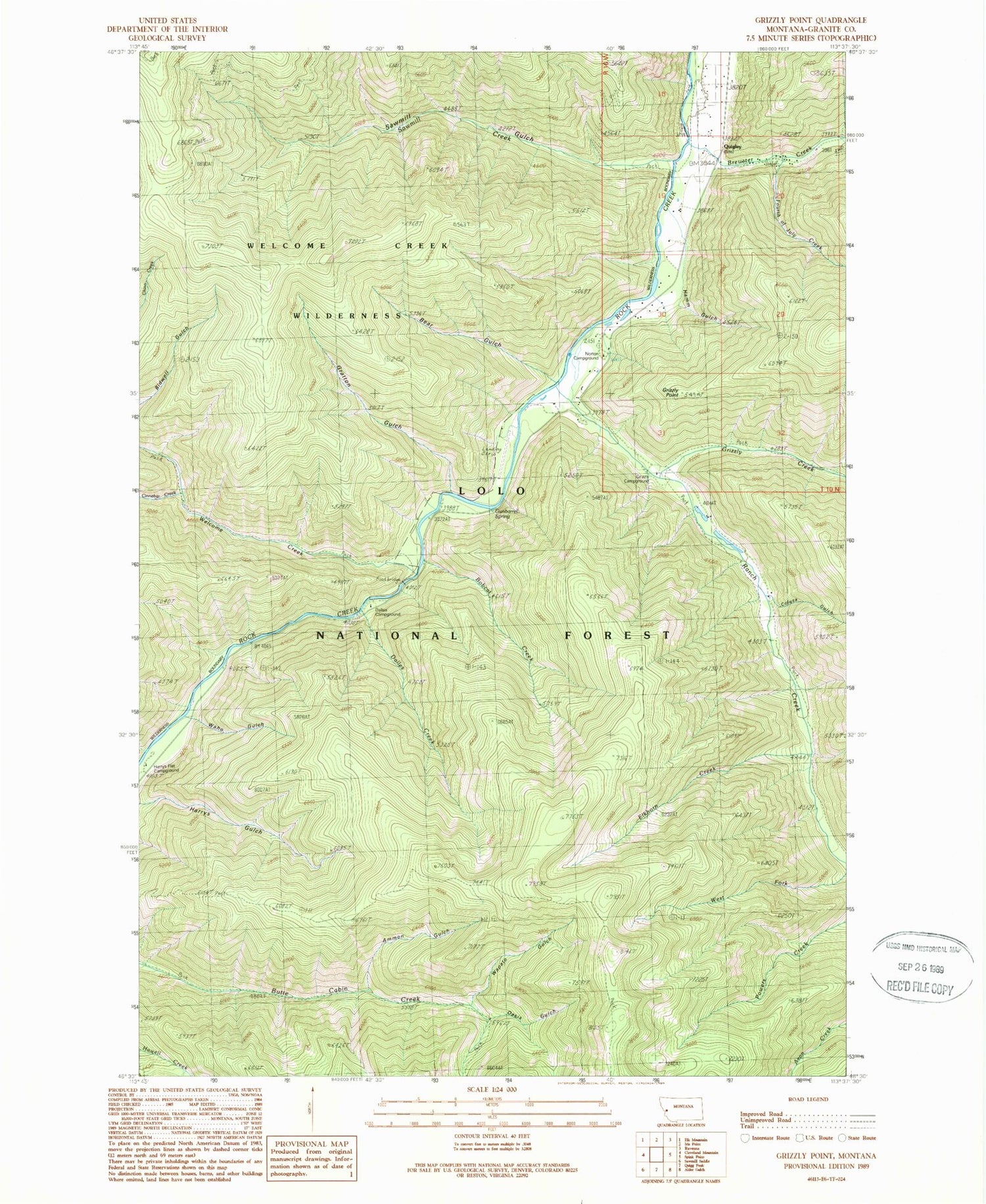
Classic USGS Grizzly Point Montana 7.5'x7.5' Topo Map
Couldn't load pickup availability
Historical USGS topographic quad map of Grizzly Point in the state of Montana. Map scale may vary for some years, but is generally around 1:24,000. Print size is approximately 24" x 27"
This quadrangle is in the following counties: Granite.
The map contains contour lines, roads, rivers, towns, and lakes. Printed on high-quality waterproof paper with UV fade-resistant inks, and shipped rolled.
Contains the following named places: Ammon Gulch, Bear Gulch, Bobcat Creek, Brewster Creek, Butte Cabin Ridge Trail, Cinnabar Creek, Colusa Gulch, Dalles Campground, Dalles Creek, Elkhorn Creek, Fourth of July Creek, Gratton Gulch, Grizzly Campground, Grizzly Creek, Grizzly Point, Gunbarrel Spring, Hamm Gulch, Norton Campground, Oasis Gulch, Quigley, Quigley Post Office, Quigley School, Ranch Creek, Sawmill Creek, Sawmill Gulch, Sawmill Sportsmans Access, Waho Gulch, Wapato Gulch, Welcome Creek, Welcome Creek Campground, Welcome Creek Fishing Access Site, Welcome Creek Wilderness, Welcome Sawmill Saddle, West Fork Ranch Creek, ZIP Code: 59825


