MyTopo
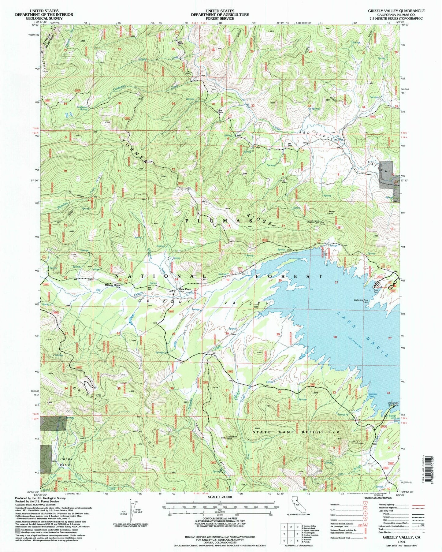
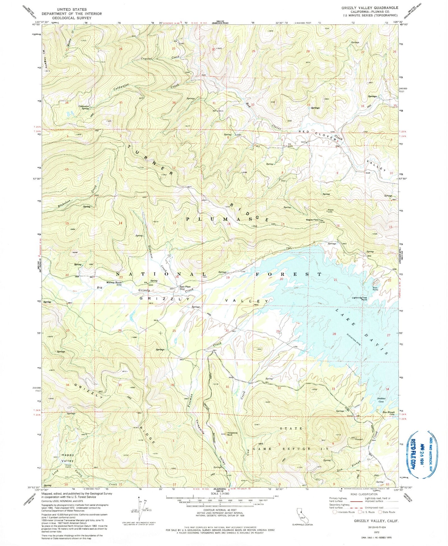
Classic USGS Grizzly Valley California 7.5'x7.5' Topo Map
Couldn't load pickup availability
Historical USGS topographic quad map of Grizzly Valley in the state of California. Map scale may vary for some years, but is generally around 1:24,000. Print size is approximately 24" x 27"
This quadrangle is in the following counties: Plumas.
The map contains contour lines, roads, rivers, towns, and lakes. Printed on high-quality waterproof paper with UV fade-resistant inks, and shipped rolled.
Contains the following named places: Abbey Bridge Guard Station, Bagley Pass, Chases, Coldwater Creek, Coldwater Spring, Cow Creek, Crystal Creek, Dan Blough Creek, Freeman Creek, Gate Place, Happy Valley, Jenkins Cove, Jenkins Creek, Lake Davis, Lightning Tree Point, Midway House, Oldhouse Creek, Red Clover Valley, Sheep Camp, State Game Refuge One-V, Threemile Guard Station, Threemile Rock, Threemile Valley


