MyTopo
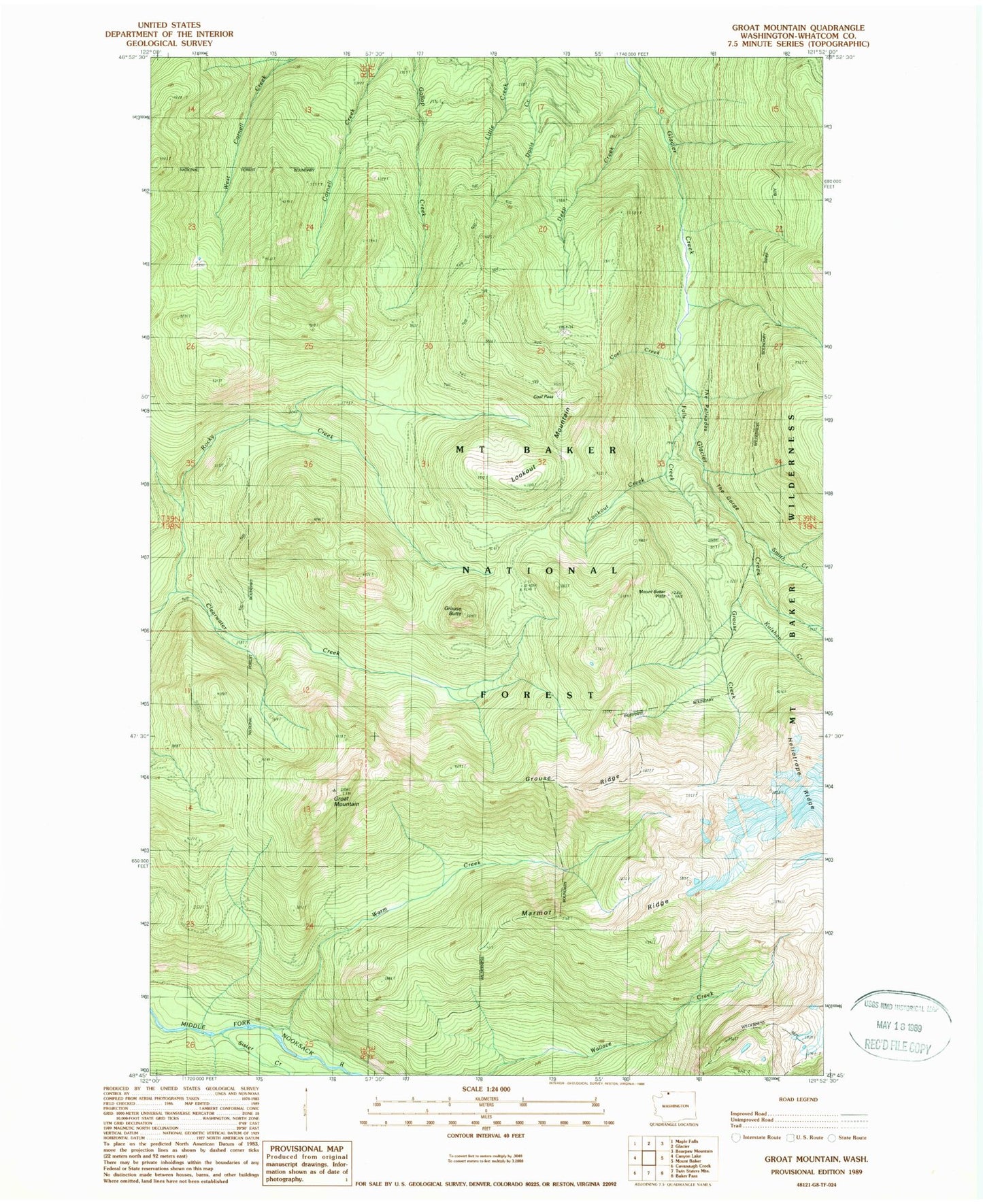
Classic USGS Groat Mountain Washington 7.5'x7.5' Topo Map
Couldn't load pickup availability
Historical USGS topographic quad map of Groat Mountain in the state of Washington. Typical map scale is 1:24,000, but may vary for certain years, if available. Print size: 24" x 27"
This quadrangle is in the following counties: Whatcom.
The map contains contour lines, roads, rivers, towns, and lakes. Printed on high-quality waterproof paper with UV fade-resistant inks, and shipped rolled.
Contains the following named places: Coal Creek, Coal Pass, Deep Creek, Falls Creek, Groat Mountain, Grouse Creek, Grouse Ridge, Heliotrope Creek, Kulshan Creek, Lookout Creek, Lookout Mountain, Marmot Ridge, Rocky Creek, Sister Creek, Smith Creek, The Palisades, Warm Creek, The Gorge, Mount Baker Vista, Mount Baker Vista Picnic Area, Mount Baker Trailhead, Grouse Butte