MyTopo
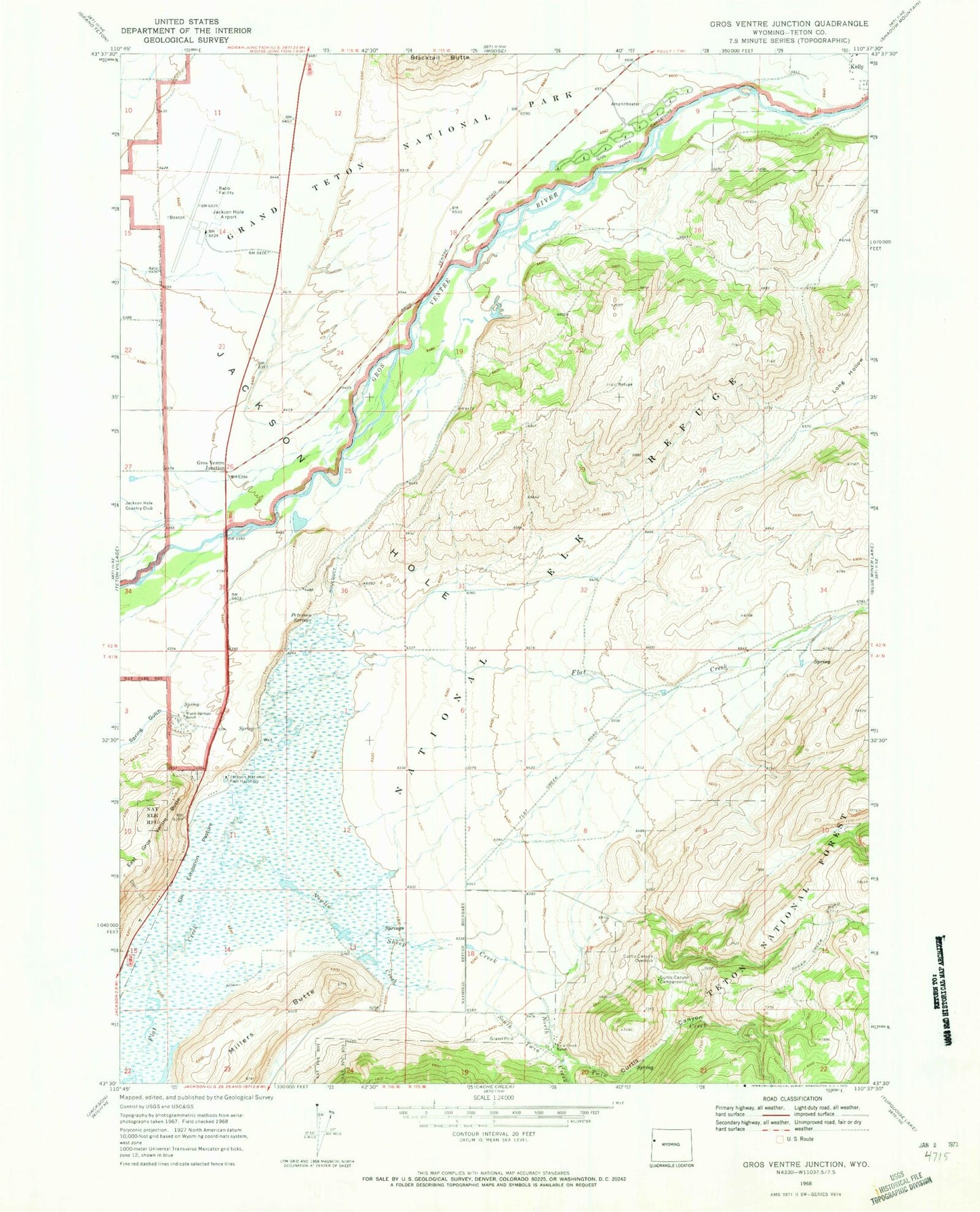
Classic USGS Gros Ventre Junction Wyoming 7.5'x7.5' Topo Map
Couldn't load pickup availability
Historical USGS topographic quad map of Gros Ventre Junction in the state of Wyoming. Typical map scale is 1:24,000, but may vary for certain years, if available. Print size: 24" x 27"
This quadrangle is in the following counties: Teton.
The map contains contour lines, roads, rivers, towns, and lakes. Printed on high-quality waterproof paper with UV fade-resistant inks, and shipped rolled.
Contains the following named places: Curtis Canyon, Curtis Canyon Campground, Curtis Canyon Overlook, Elk Exhibition Pasture, Gros Ventre Campground, Gros Ventre Junction, Jackson National Fish Hatchery, Long Hollow, Millers Butte, National Elk Refuge, North Twin Creek, Nowlin Creek, Peterson Springs, Sheep Creek, South Twin Creek, Twin Creek Ranch, Warm Springs Ranch, Jackson Hole Airport, Abercrombie Warm Springs, Sleeping Indian Pond, National Museum of Wildlife Art of the United States, Kelly Census Designated Place, Jackson Hole Airport Fire Department, Kelly Post Office