MyTopo
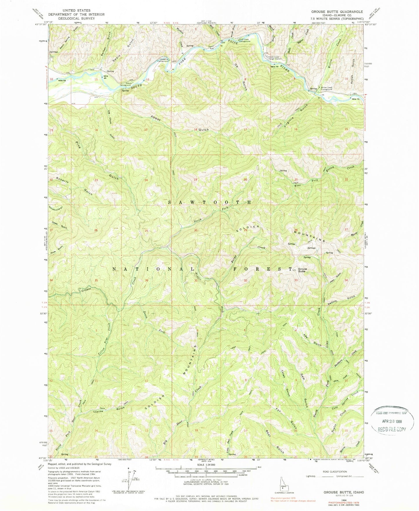
Classic USGS Grouse Butte Idaho 7.5'x7.5' Topo Map
Couldn't load pickup availability
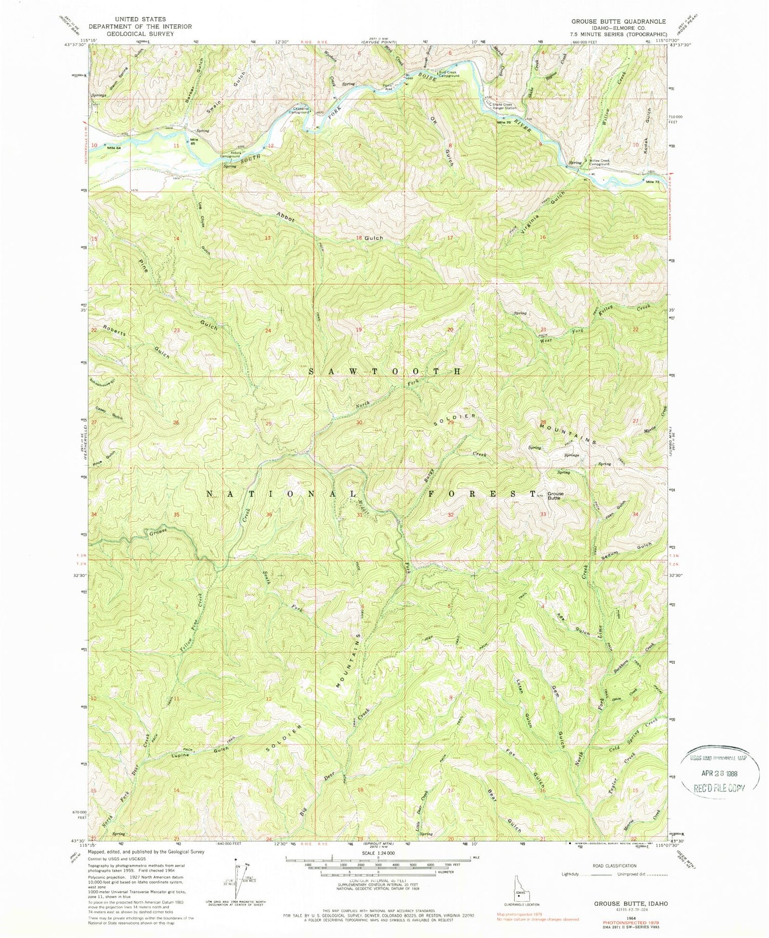
Historical USGS topographic quad map of Grouse Butte in the state of Idaho. Typical map scale is 1:24,000, but may vary for certain years, if available. Print size: 24" x 27"
This quadrangle is in the following counties: Elmore.
The map contains contour lines, roads, rivers, towns, and lakes. Printed on high-quality waterproof paper with UV fade-resistant inks, and shipped rolled.
Contains the following named places: Abbot Campground, Abbot Gulch, Ada Gulch, Barker Gulch, Bird Creek, Bird Creek Campground, Buckhorn Creek, Burgy Creek, Chaparral Campground, Cold Spring Creek, Fox Gulch, Gem Gulch, Geum Creek, Grouse Butte, Joan Gulch, Kodak Gulch, Log Chute Gulch, Lotah Gulch, Lupine Gulch, Marsh Creek, Middle Fork Grouse Creek, North Fork Grouse Creek, OK Gulch, Regina Creek, Rough Gulch, Sedum Gulch, Shake Creek, Shake Creek Ranger Station, South Fork Grouse Creek, Swain Gulch, Taylor Creek, Virginia Gulch, Warbois Creek, Warm Spring Gulch, Willow Creek, Willow Creek Campground, Yellow Pine Creek, Shake Creek Recreation Site


