
MyTopo
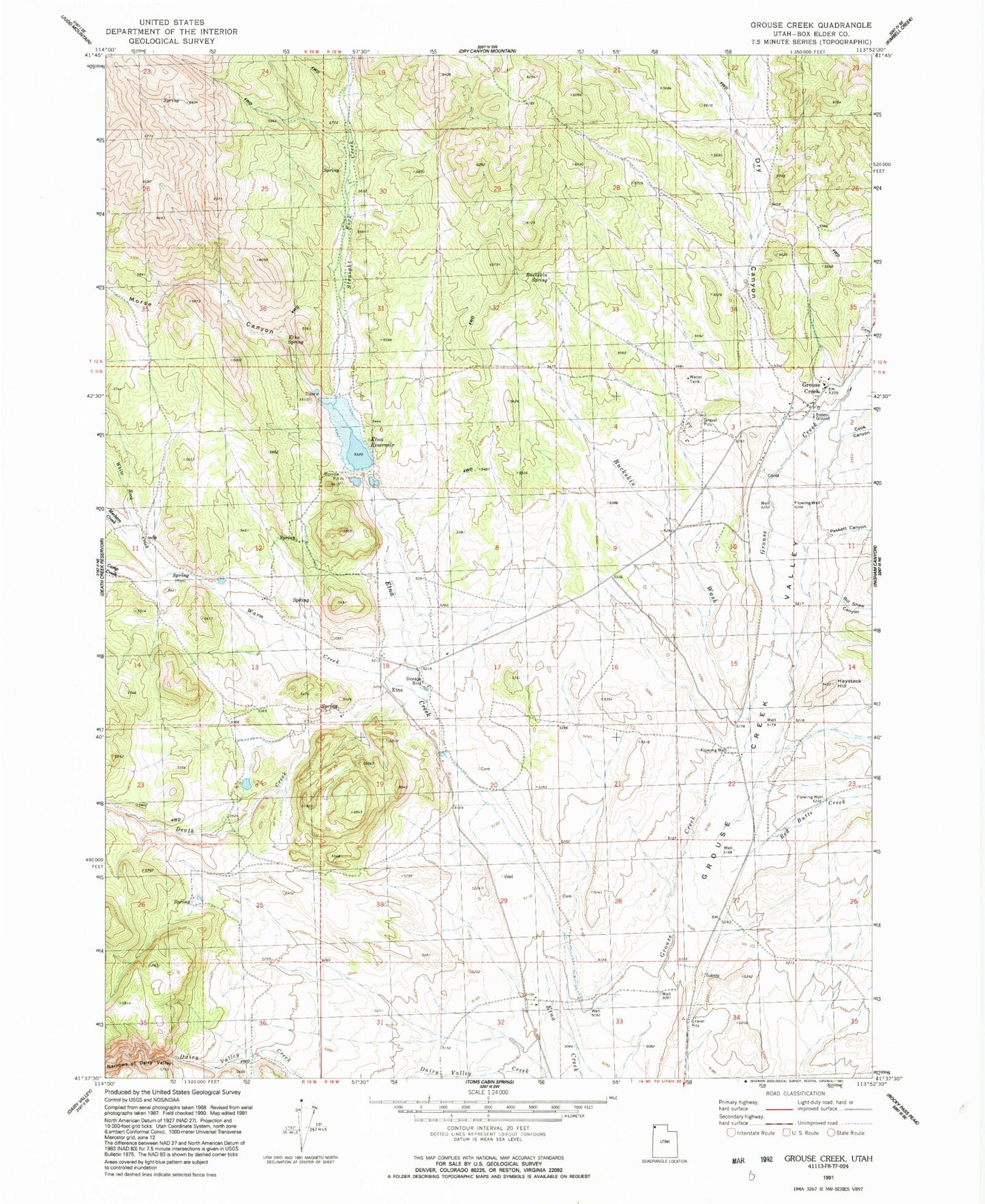
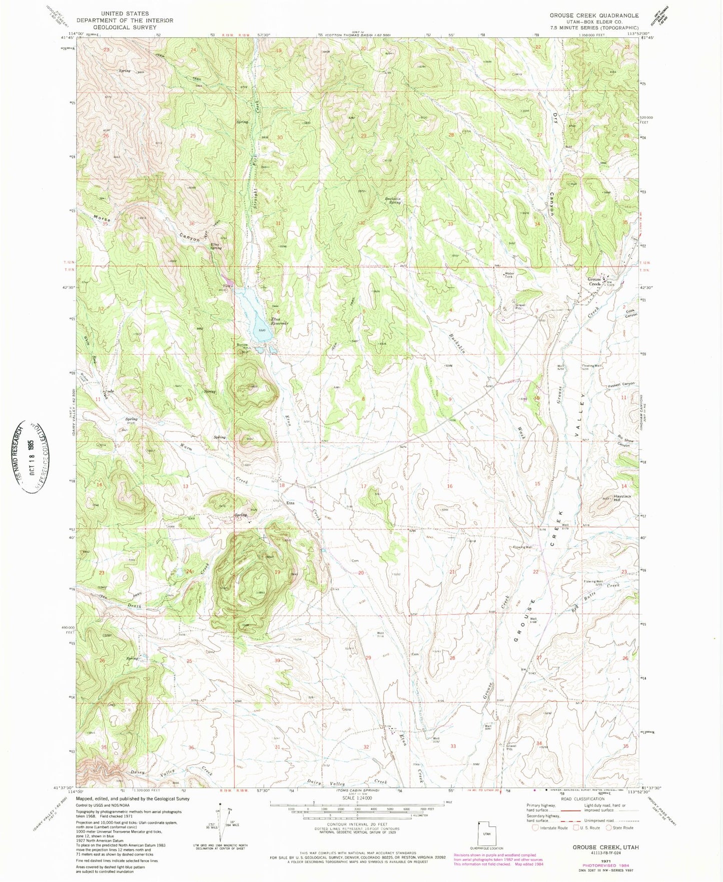
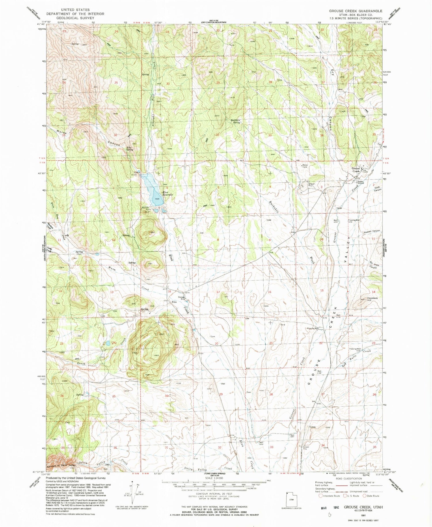
Classic USGS Grouse Creek Utah 7.5'x7.5' Topo Map
Couldn't load pickup availability
Historical USGS topographic quad map of Grouse Creek in the state of Utah. Map scale may vary for some years, but is generally around 1:24,000. Print size is approximately 24" x 27"
This quadrangle is in the following counties: Box Elder.
The map contains contour lines, roads, rivers, towns, and lakes. Printed on high-quality waterproof paper with UV fade-resistant inks, and shipped rolled.
Contains the following named places: Bill Shaw Canyon, Buckskin Spring, Buckskin Wash, Camp Creek, Cook Canyon, Death Creek, Dry Canyon, Etna, Etna Cemetery, Etna Reservoir, Etna Spring, Grouse Creek, Grouse Creek Ambulance, Grouse Creek Cemetery, Grouse Creek Fire Department, Grouse Creek Post Office, Grouse Creek Secondary School, Haystack Hill, Kimber Ranch, Kimber Ranch Burial Ground, Morse Canyon, Paskett Canyon, Red Butte Creek, Straight Fork Creek, The Church of Jesus Christ of Latter Day Saints, Warm Creek, ZIP Code: 84313