MyTopo
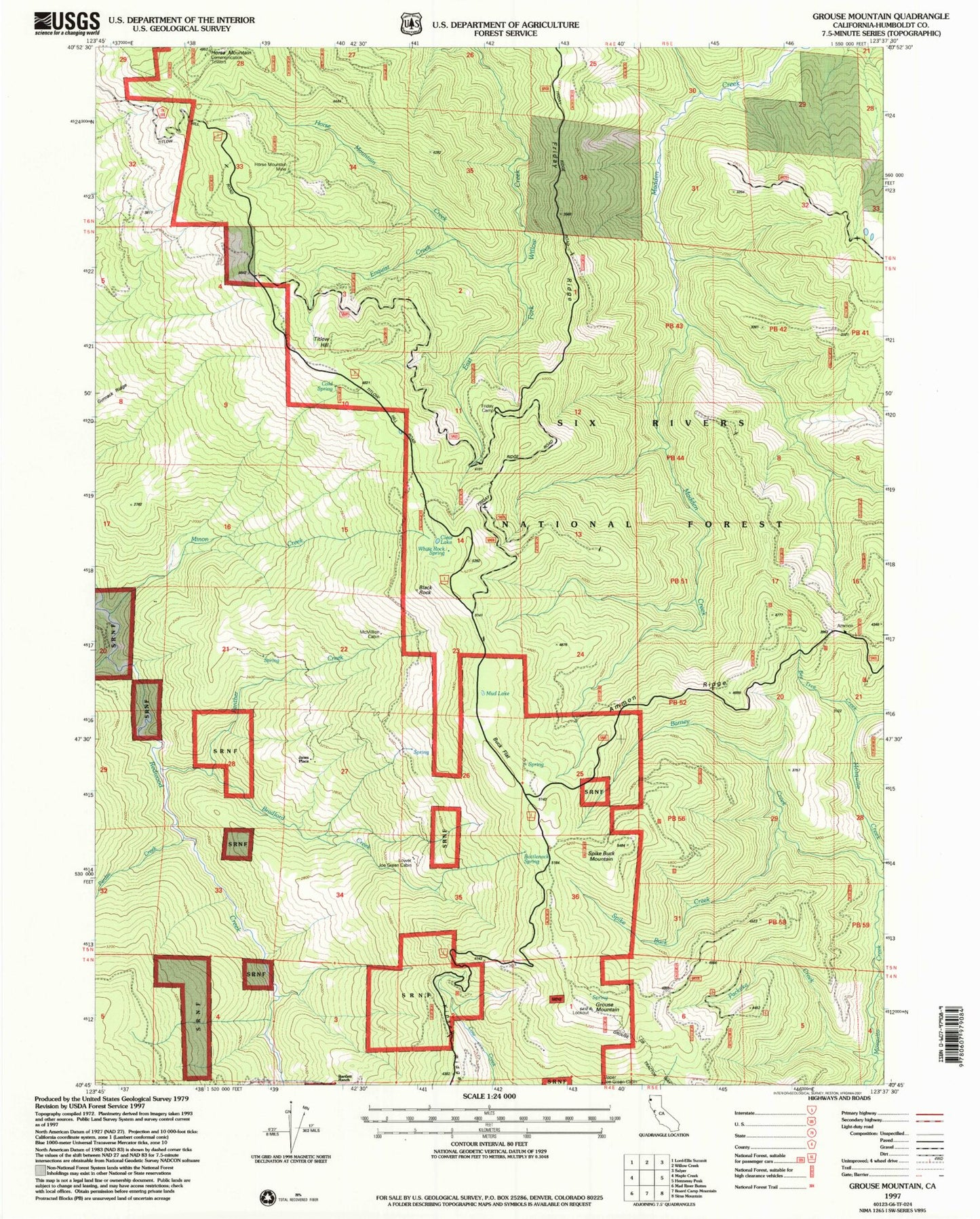
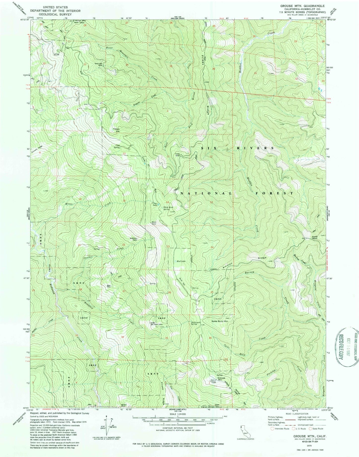
Classic USGS Grouse Mountain California 7.5'x7.5' Topo Map
Couldn't load pickup availability
Historical USGS topographic quad map of Grouse Mountain in the state of California. Map scale may vary for some years, but is generally around 1:24,000. Print size is approximately 24" x 27"
This quadrangle is in the following counties: Humboldt.
The map contains contour lines, roads, rivers, towns, and lakes. Printed on high-quality waterproof paper with UV fade-resistant inks, and shipped rolled.
Contains the following named places: Ammon Ridge, Ammon Station, Barney Creek, Bartlett Ranch, Black Rock, Bottleneck Spring, Bradford Creek, Buck Flat, Clear Lake, Cold Spring, Enquist Creek, Friday Camp, Friday Ridge, Grouse Creek Tractor Way, Grouse Mountain, Grouse Mountain Lookout, Gunrack Ridge, Horse Mountain, Horse Mountain Creek, Horse Mountain Mine, Janes Place, Lake Prairie Creek, Lower Joe Green Cabin, McMillion Cabin, Minon Creek, Mud Lake, Packeka Creek, Panther Creek, Pardee Creek, Spike Buck Creek, Spike Buck Mountain, Titlow Hill, Upper Joe Green Cabin, White Rock Spring