MyTopo
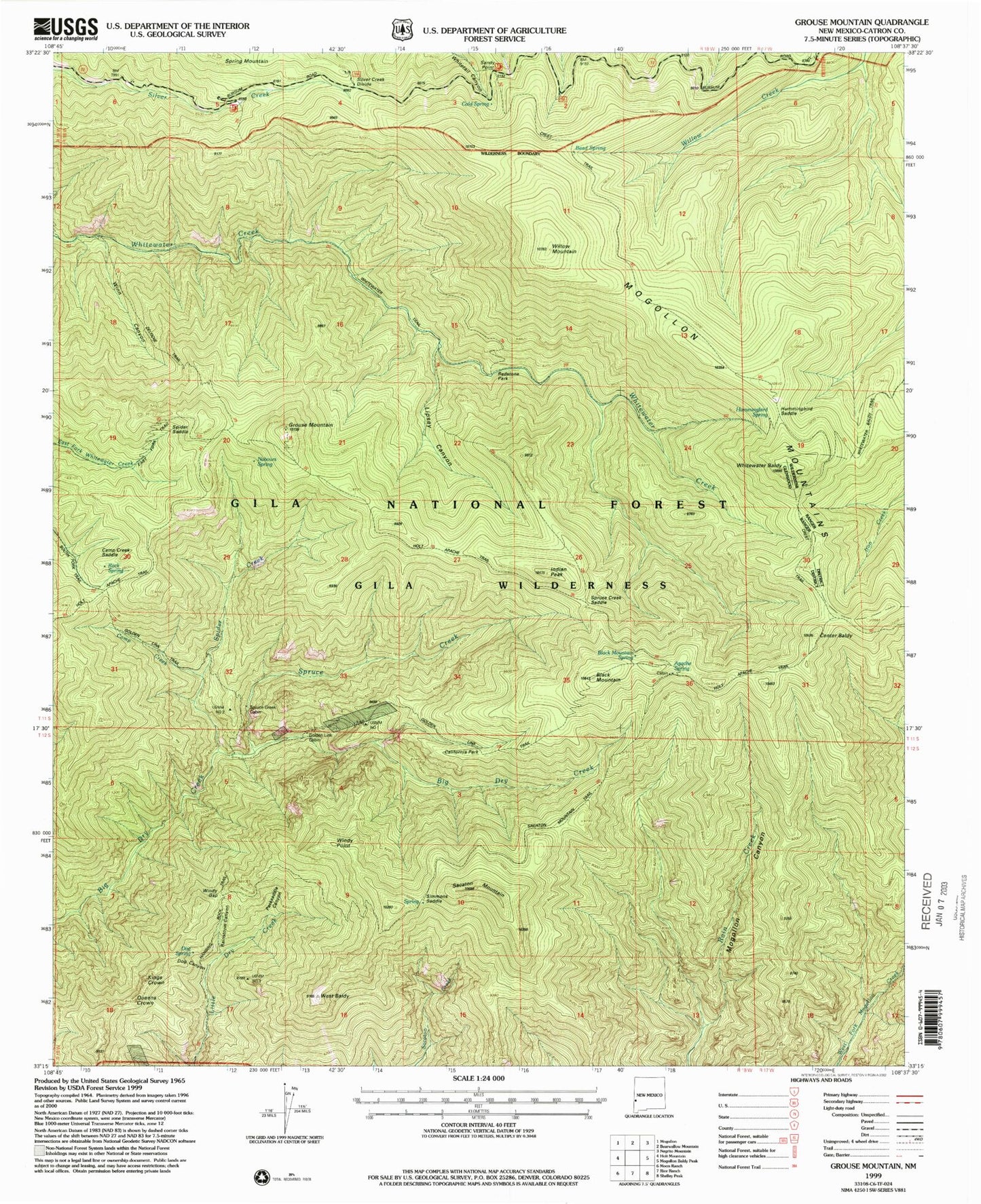
Classic USGS Grouse Mountain New Mexico 7.5'x7.5' Topo Map
Couldn't load pickup availability
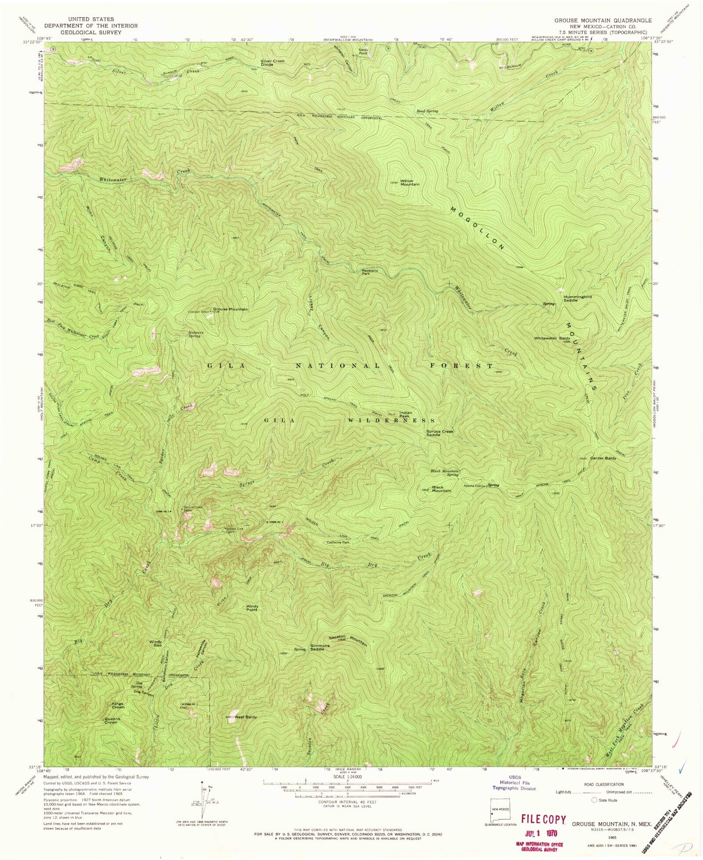
Historical USGS topographic quad map of Grouse Mountain in the state of New Mexico. Typical map scale is 1:24,000, but may vary for certain years, if available. Print size: 24" x 27"
This quadrangle is in the following counties: Catron.
The map contains contour lines, roads, rivers, towns, and lakes. Printed on high-quality waterproof paper with UV fade-resistant inks, and shipped rolled.
Contains the following named places: Apache Cabin, Bead Spring, Black Mountain, Black Mountain Spring, California Park, Camp Creek, Center Baldy, Dog Canyon, Dog Spring, East Fork Trail, Golden Link Cabin, Golden Link Trail, Grouse Mountain, Hanging Rock Trail, Hummingbird Saddle, Kings Crown, Lipsey Canyon, Nabours Spring, Packsaddle Canyon, Queens Crown, Rain Creek Divide Trail, Rainstorm Canyon, Redstone Park, Sacaton Mountain, Sacaton Mountain Trail, Sandy Point, Silver Creek Divide, Silver Drip Trail, Simmons Saddle, Skeleton Ridge Trail, Spider Creek, Spruce Creek, Spruce Creek Cabin, West Baldy, Whitewater Baldy, Willow Mountain, Windy Gap, Windy Point, Winn Canyon, Bursum Recreation Site, Camp Creek Saddle, Spider Saddle, Cold Spring, Indian Peak, Spruce Creek Saddle, Rock Spring, Hobo Spring, Hummingbird Spring, Apache Spring, Quartz Number Prospect, Rainstorm Gulch Working, Gold Bar, Spruce Creek Workings, Western Big Dry Creek Property, Regal Adit, Maverick Prospect, Mountain View Claim, New Eureka Adit, Pilgrim Camp Prospects, Quartz Number One Prospect, Royal Gorge Claim, Upper Big Dry Creek Prospects, Uncle John Mine, Deer Trail Tunnel, Deloche Trail Prospects, Kirkpatrick Prospect, Upper Little Dry Creek Working