
MyTopo
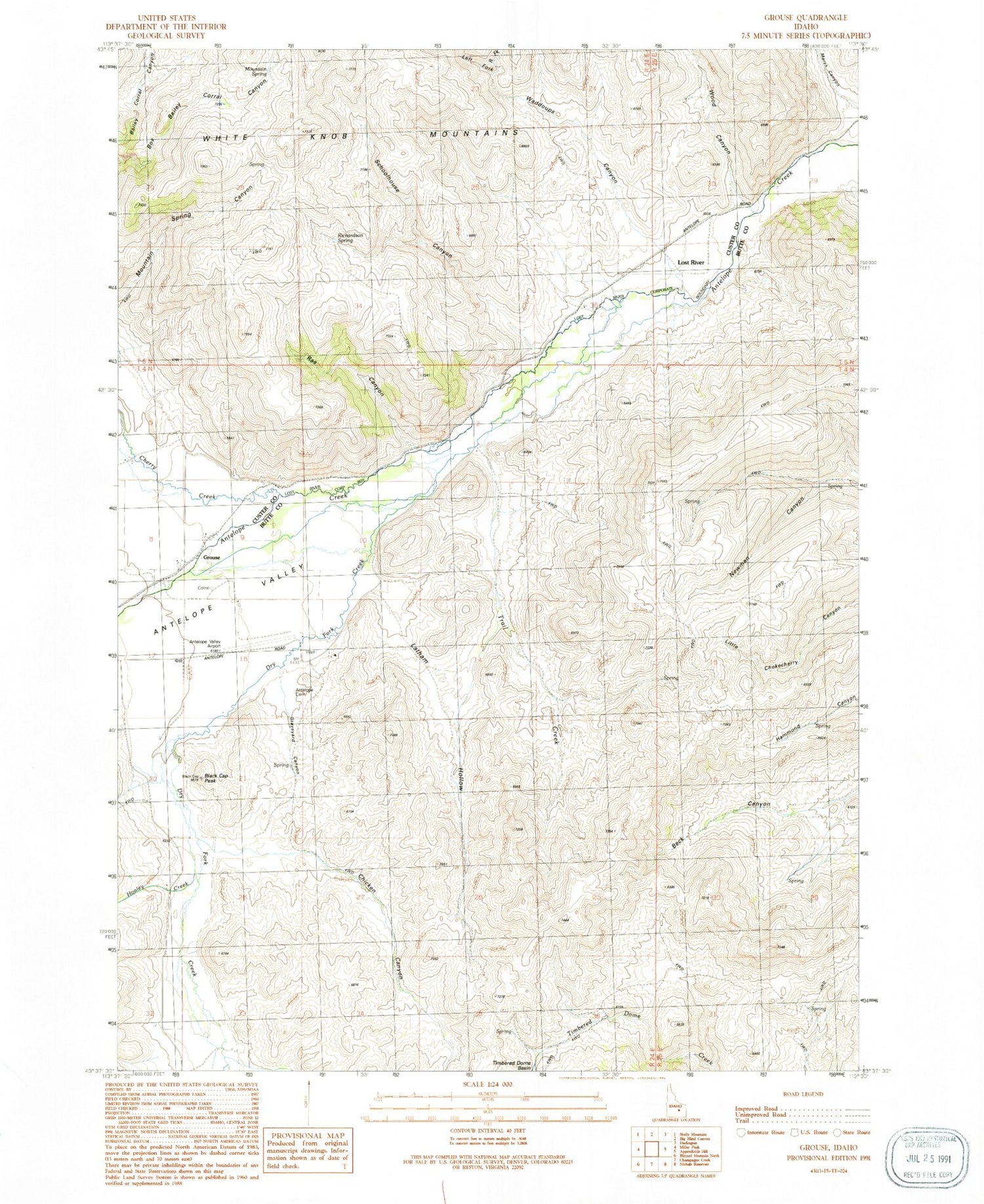
Classic USGS Grouse Idaho 7.5'x7.5' Topo Map
Couldn't load pickup availability
Historical USGS topographic quad map of Grouse in the state of Idaho. Map scale may vary for some years, but is generally around 1:24,000. Print size is approximately 24" x 27"
This quadrangle is in the following counties: Butte, Custer.
The map contains contour lines, roads, rivers, towns, and lakes. Printed on high-quality waterproof paper with UV fade-resistant inks, and shipped rolled.
Contains the following named places: Antelope Cemetery, Antelope Valley, Antelope Valley Airport, Black Cap Peak, Cherry Creek, Chicken Canyon, Dry Fork Creek, Graveyard Canyon, Grouse, Grouse School, Hooley Creek, Latham Hollow, Left Fork Waddoups Canyon, Lost River, Marsh Canyon, Mountain Spring, Ras Canyon, Richardson Spring, Right Fork Waddoups Canyon, Schoolhouse Canyon, Spring Creek, Trail Creek, Waddoups Canyon, Wood Canyon, ZIP Code: 83255


