MyTopo
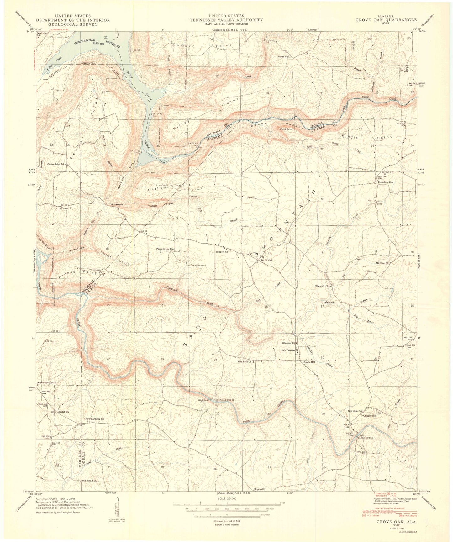
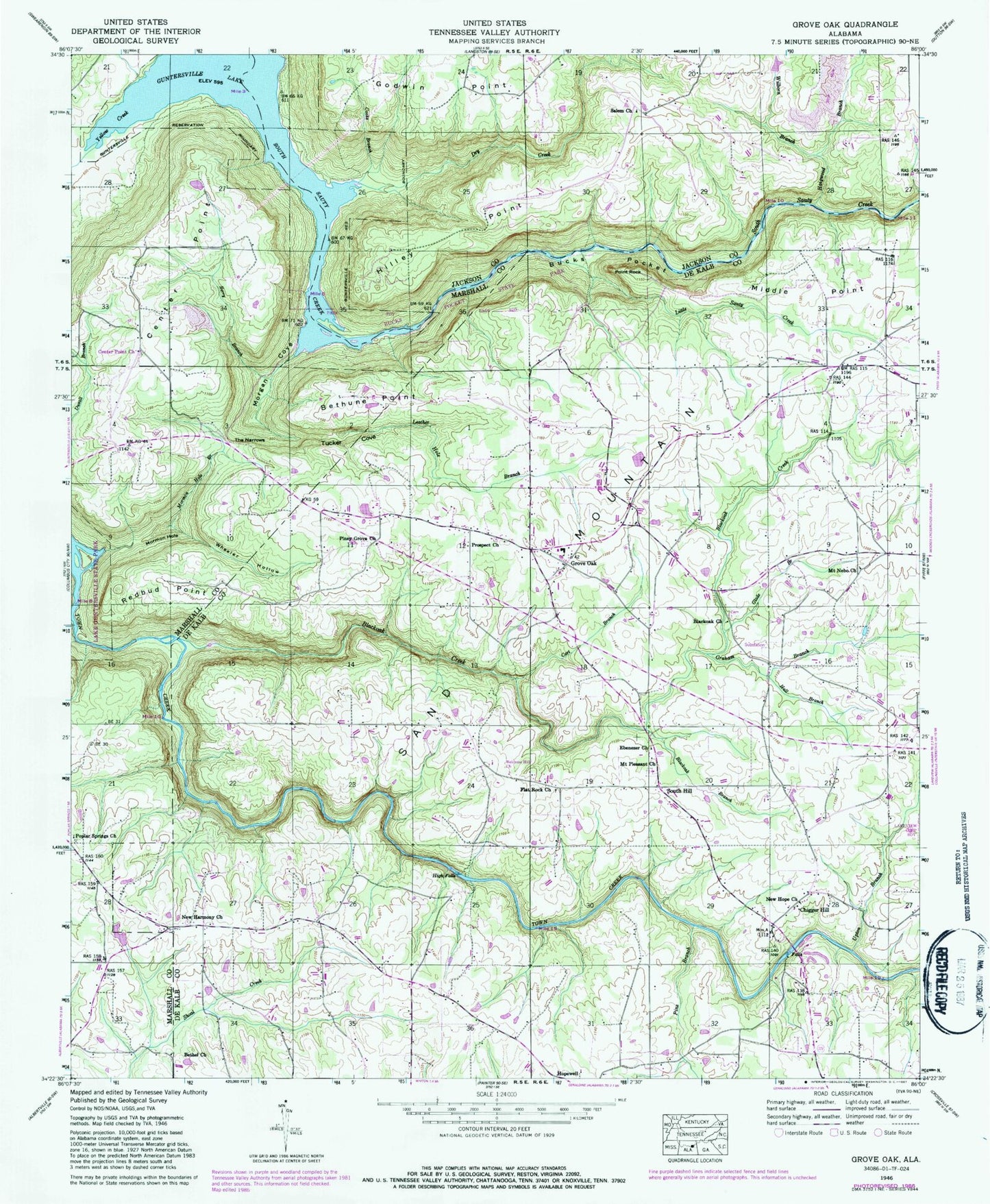
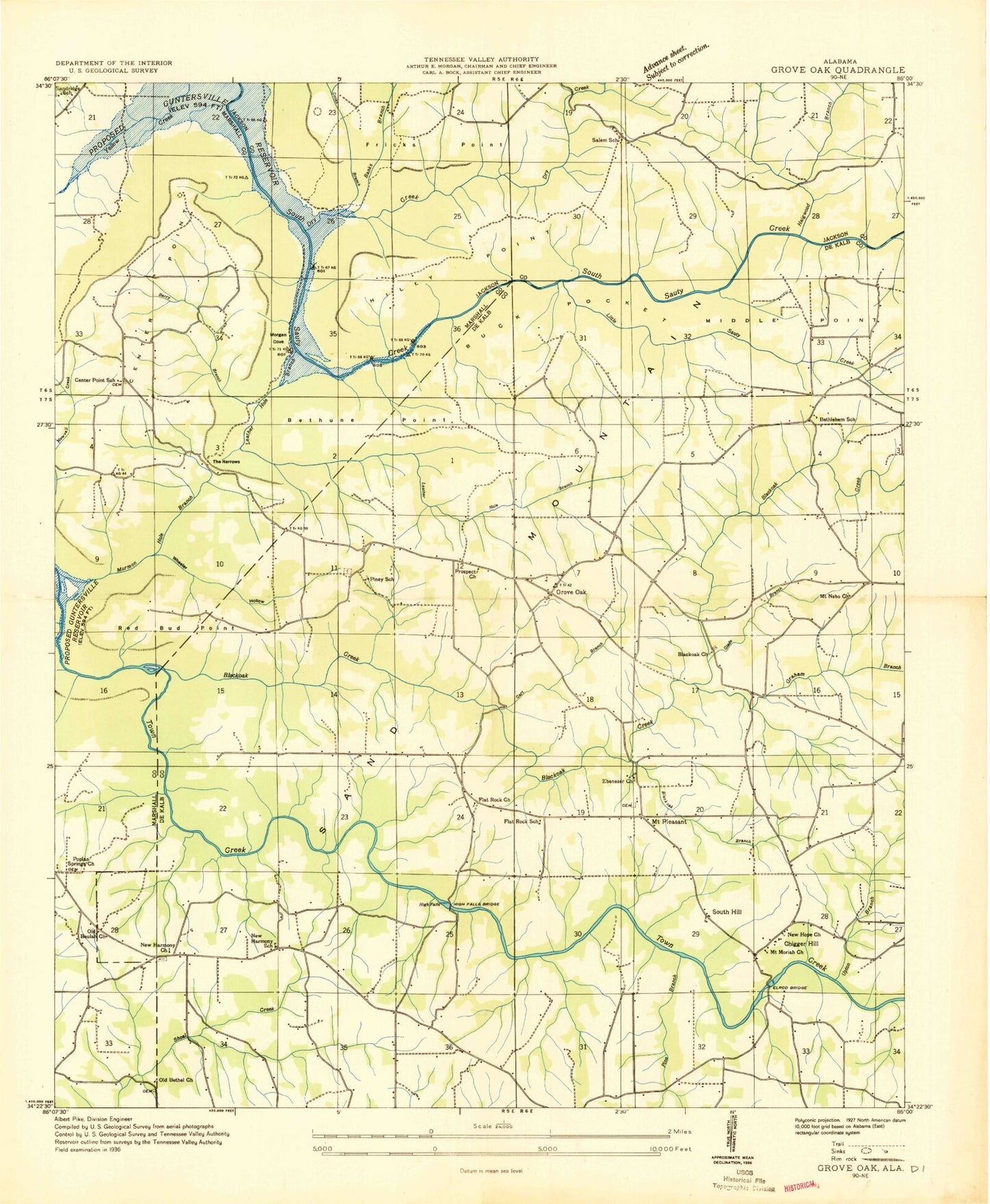
Classic USGS Grove Oak Alabama 7.5'x7.5' Topo Map
Couldn't load pickup availability
Historical USGS topographic quad map of Grove Oak in the state of Alabama. Map scale may vary for some years, but is generally around 1:24,000. Print size is approximately 24" x 27"
This quadrangle is in the following counties: DeKalb, Jackson, Marshall.
The map contains contour lines, roads, rivers, towns, and lakes. Printed on high-quality waterproof paper with UV fade-resistant inks, and shipped rolled.
Contains the following named places: Banks Branch, Berry Branch, Bethel Church, Bethlehem School, Bethune Point, Beulah Church, Black Oak Branch, Black Oak Church, Black Oak Creek, Bucks Pocket, Bucks Pocket Tri-County Park, Cart Branch, Center Point Cemetery, Center Point Church, Chigger Hill, Cooks Branch, Dry Creek, Ebenezer Church, Elrods Bridge, Elrods Mill, Flat Rock Church, Flat Rock School, Glade Branch, Godwin Point, Graham Branch, Grove Oak, Grove Oak Post Office, Grove Oak School, Grove Oak Volunteer Fire Department, Haigwood Branch, Hall Branch, High Falls, High Falls Bridge, High Falls Natural Bridge, Hilley Point, Hillian Store, Jink, Leather Hole Branch, Lewis Branch, Little Sauty Creek, Middle Point, Morgan Cove, Morgans Store, Mormon Hole, Mormon Hole Branch, Mount Moriah Church, Mount Nebo Church, Mount Pleasant Church, Mount Pleasant Church Cemetery, New Harmony Church, New Harmony School, New Hope Church, Old Beulah Church, Pendergrass, Pine Branch, Piney Grove Church, Piney Grove Church Cemetery, Piney School, Point Rock, Poplar Springs Church, Prospect Church, Redbud Point, Salem Church, Salem School, South Hill, The Narrows, Thirtynine, Tucker Cove, Upton Branch, Welcome Hill Church, Wheeler Hollow, Wilborn Branch, Yellow Creek, ZIP Code: 35975


