
MyTopo
Classic USGS Grover Canyon Idaho 7.5'x7.5' Topo Map
Regular price
$16.95
Regular price
Sale price
$16.95
Unit price
per
Couldn't load pickup availability
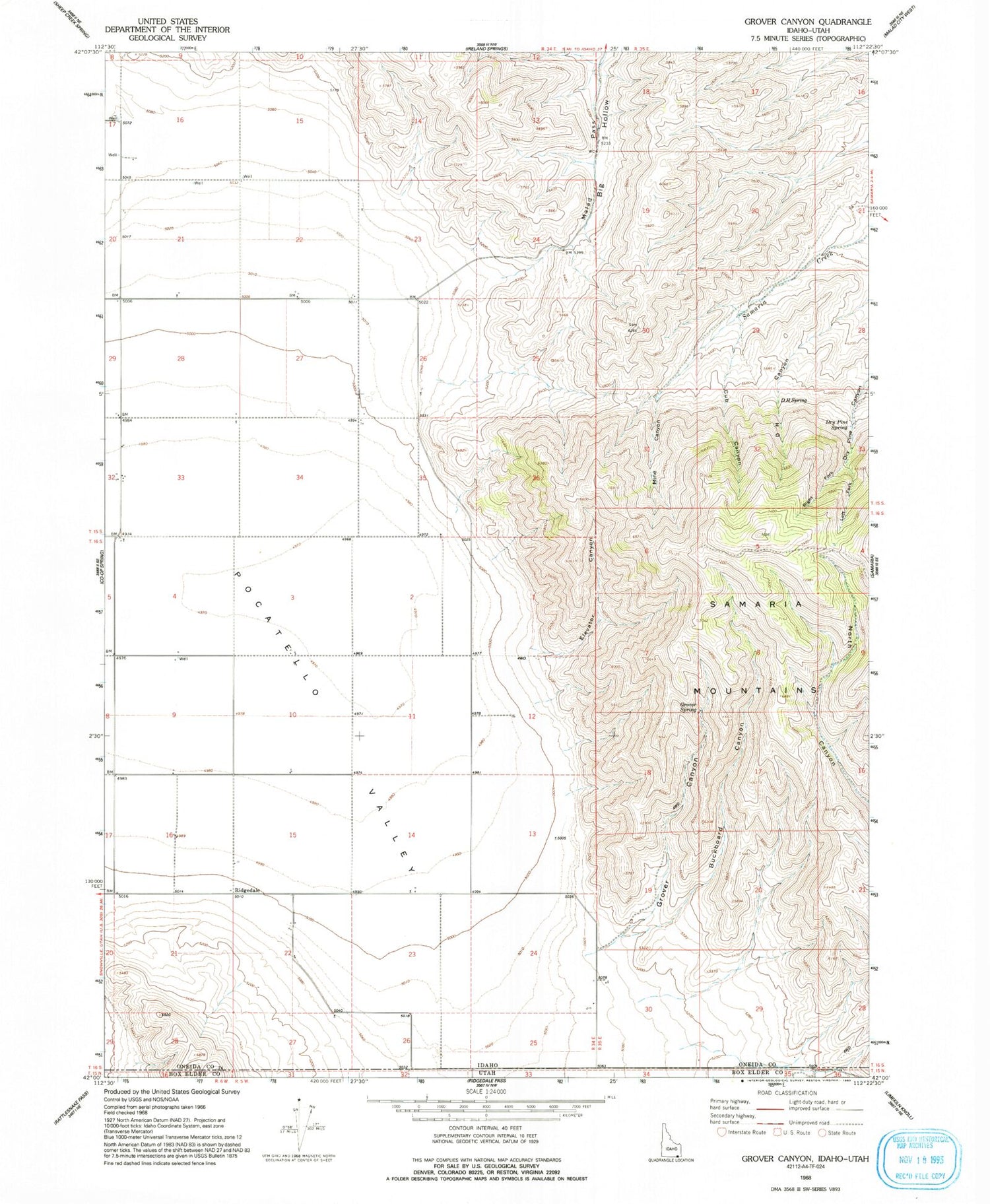
Historical USGS topographic quad map of Grover Canyon in the state of Idaho. Map scale may vary for some years, but is generally around 1:24,000. Print size is approximately 24" x 27"
This quadrangle is in the following counties: Box Elder, Oneida.
The map contains contour lines, roads, rivers, towns, and lakes. Printed on high-quality waterproof paper with UV fade-resistant inks, and shipped rolled.
Contains the following named places: Buckboard Canyon, Cub Canyon, D H Spring, Dry Pine Spring, Elevator Canyon, Grover Canyon, Left Fork Dry Pine Canyon, Malad Pass, Mine Canyon, Pocatello Valley, Ridgedale, Ridgedale Post Office, Right Fork Dry Pine Canyon


