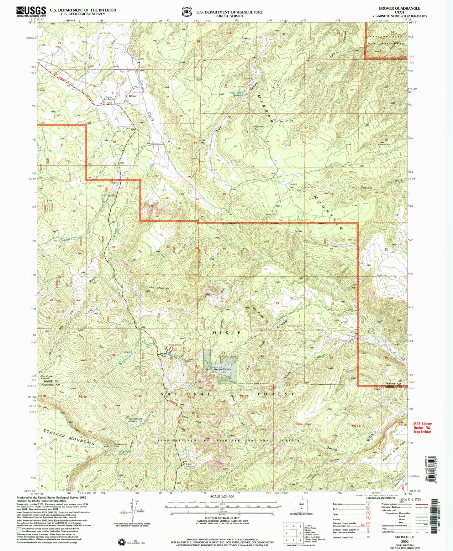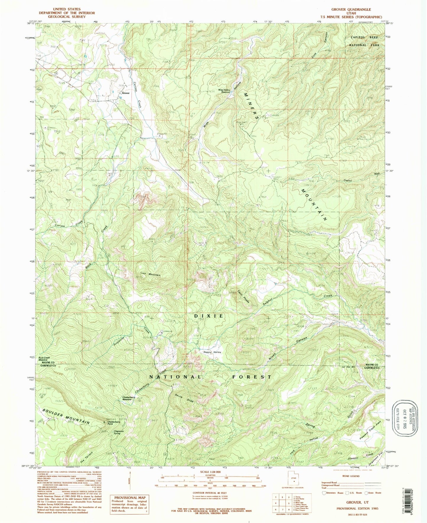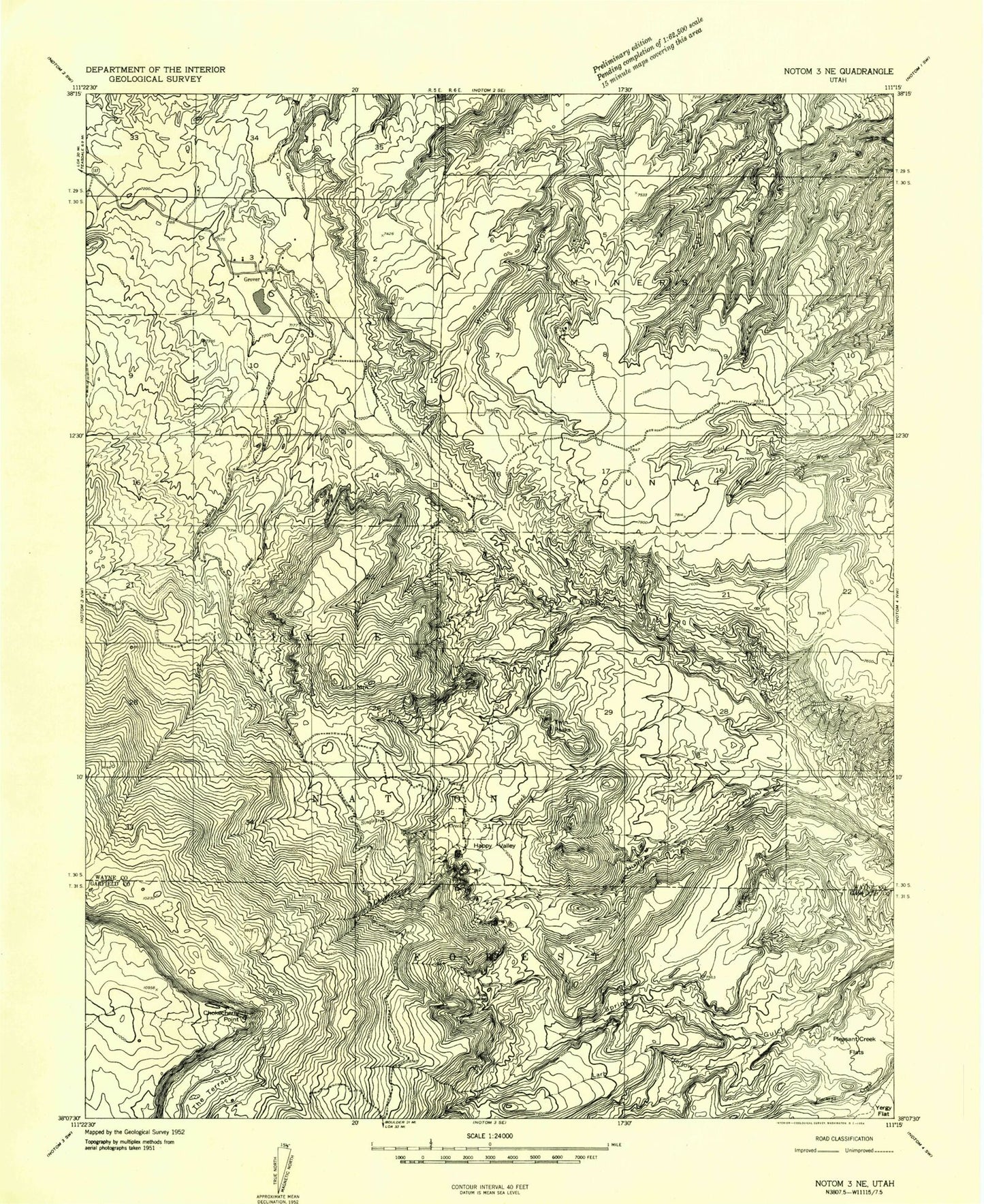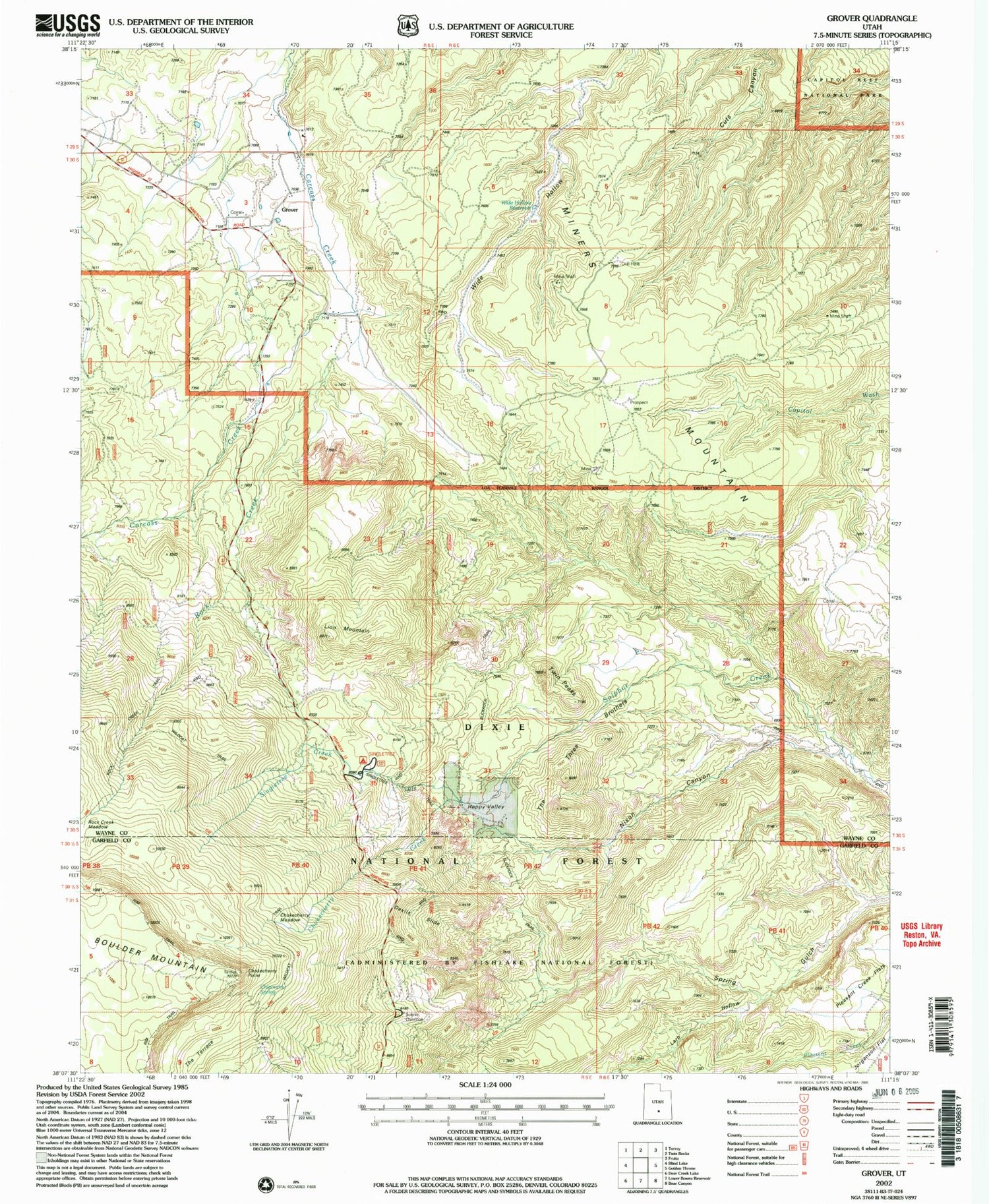

MyTopo
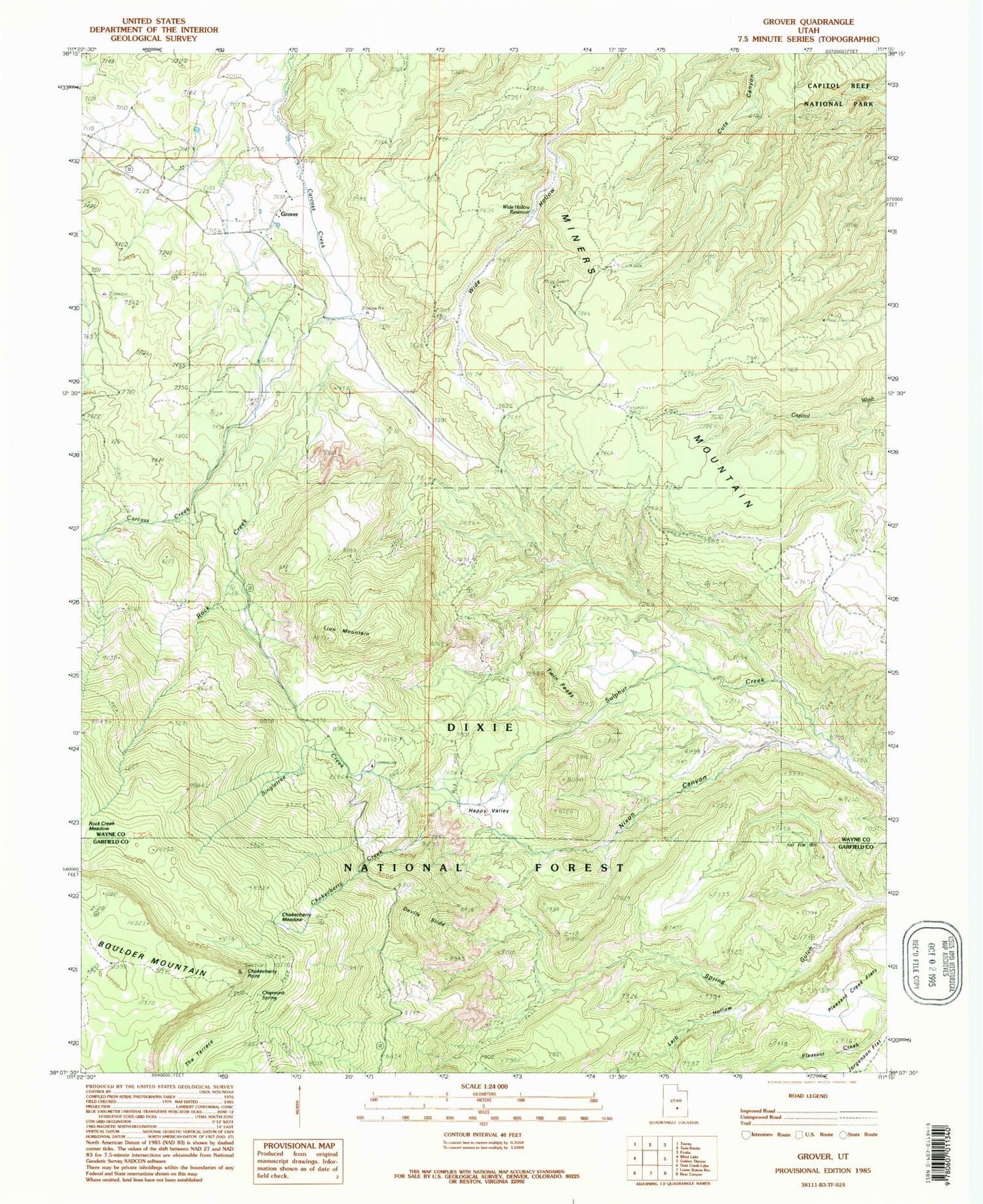
Classic USGS Grover Utah 7.5'x7.5' Topo Map
Couldn't load pickup availability
Historical USGS topographic quad map of Grover in the state of Utah. Map scale may vary for some years, but is generally around 1:24,000. Print size is approximately 24" x 27"
This quadrangle is in the following counties: Garfield, Wayne.
The map contains contour lines, roads, rivers, towns, and lakes. Printed on high-quality waterproof paper with UV fade-resistant inks, and shipped rolled.
Contains the following named places: Chipmunk Spring, Chokecherry Creek, Chokecherry Meadow, Chokecherry Point, Devils Slide, Grover, Grover Cemetery, Happy Valley, Larb Hollow, Lion Mountain, Miners Mountain, Nixon Canyon, Pleasant Creek Flats, Rock Creek, Rock Creek Meadow, Singletree Campground, Singletree Creek, The Three Brothers, Twin Peaks, Wide Hollow Reservoir, ZIP Code: 84773