MyTopo
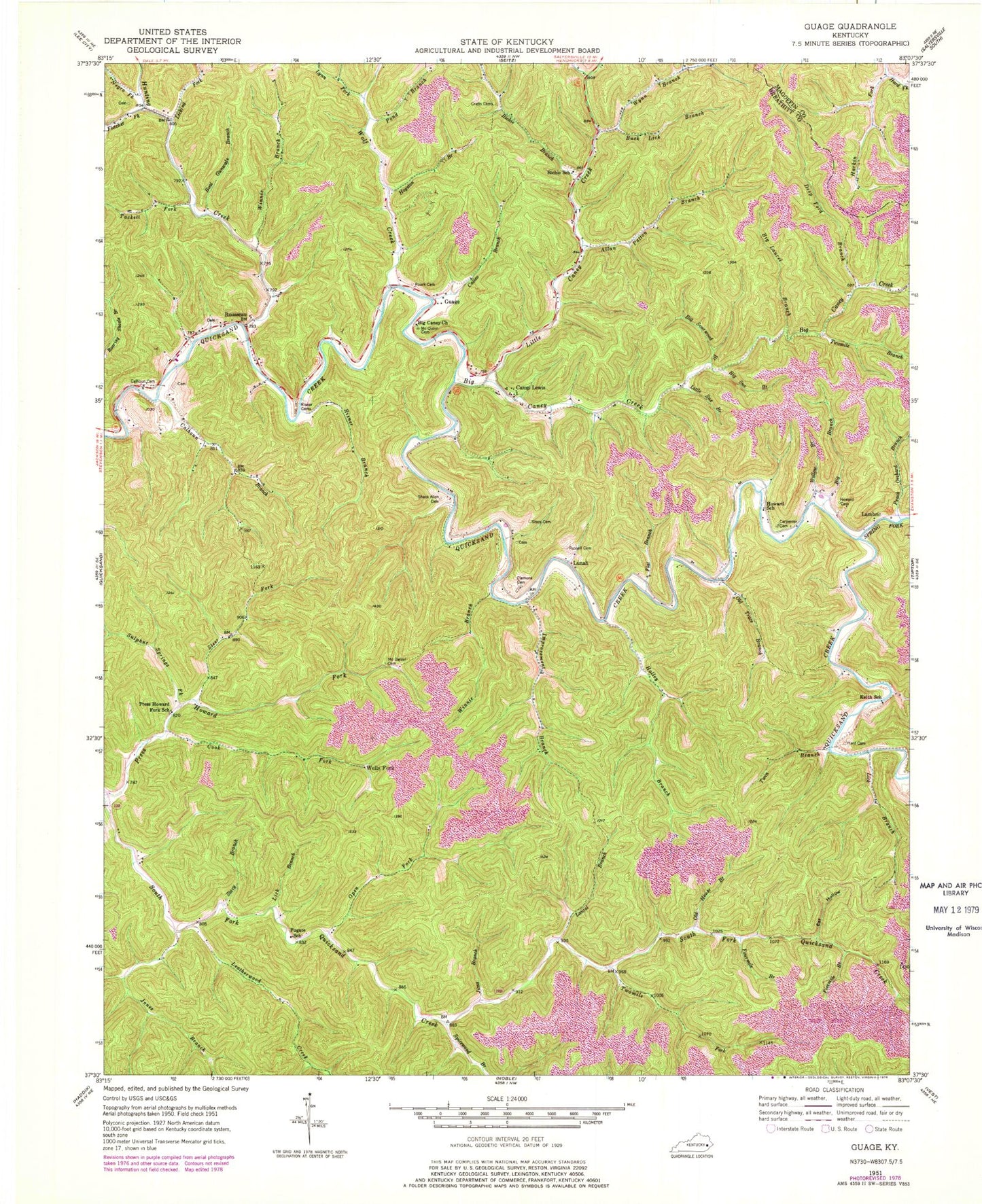
Classic USGS Guage Kentucky 7.5'x7.5' Topo Map
Couldn't load pickup availability
Historical USGS topographic quad map of Guage in the state of Kentucky. Map scale may vary for some years, but is generally around 1:24,000. Print size is approximately 24" x 27"
This quadrangle is in the following counties: Breathitt, Magoffin.
The map contains contour lines, roads, rivers, towns, and lakes. Printed on high-quality waterproof paper with UV fade-resistant inks, and shipped rolled.
Contains the following named places: Allen Patton Branch, Alum Cave Branch, Big Branch, Big Caney Church, Big Caney Creek, Big Laurel Branch, Big Sourwood Branch, Big Sue Branch, Boat Gunwale Branch, Buck Lick Branch, Calhoun Branch, Calhoun Cemetery, Calico Branch, Camp Lewis, Carpenter Cemetery, Clemons Cemetery, Cook Fork, Crafts Cemetery, Deep Ford Branch, Eaf Hollow, Fivemile Branch, Flat Branch, Fletcher Fork, Fourmile Branch, Fugate School, Guage, Hade Fork, Hard Cemetery, Hard Fork, Harkin Fork, Hogston Branch, Holley Branch, Howard Cemetery, Howard School, Hunting Creek, Improvement Branch, Jims Branch, Jones Branch, Keith School, Lambric, Laurel Branch, Leatherwood Creek, Lick Branch, Licking Fork, Little Caney Creek, Little Sue Branch, Lunah, Lynn Fork, McDaniel Cemetery, McQuinn Cemetery, Negro Fork, Old House Branch, Old Trace Branch, Open Fork, Peach Orchard Branch, Pond Branch, Press Howard Fork School, Richie Branch, Richie School, Risner Branch, Risner Cemetery, Roark Cemetery, Rousseau, Rousseau Division, Russell Cemetery, Shack Allen Cemetery, Spicewood Branch, Spring Fork Quicksand Creek, Stacy Branch, Stacy Cemetery, Steer Fork, Sulphur Springs Fork, Tackett Fork, Twin Branch, Twomile Branch, Twomile Fork, Wells Fork, Willow Branch, Winnie Branch, Wolf Creek, Wynn Branch, ZIP Code: 41366


