MyTopo
Classic USGS Guide Rock NE Nebraska 7.5'x7.5' Topo Map
Regular price
$16.95
Regular price
Sale price
$16.95
Unit price
per
Couldn't load pickup availability
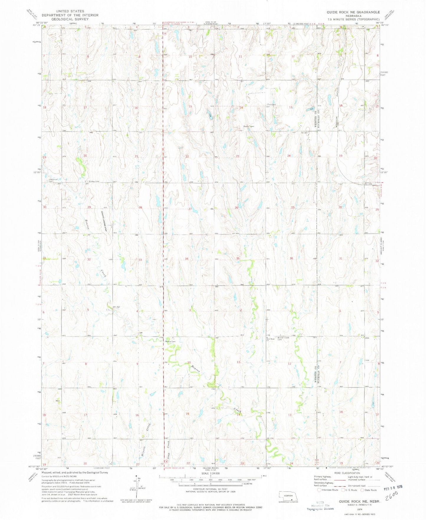
Historical USGS topographic quad map of Guide Rock NE in the state of Nebraska. Map scale may vary for some years, but is generally around 1:24,000. Print size is approximately 24" x 27"
This quadrangle is in the following counties: Nuckolls, Webster.
The map contains contour lines, roads, rivers, towns, and lakes. Printed on high-quality waterproof paper with UV fade-resistant inks, and shipped rolled.
Contains the following named places: Beaver Creek Cemetery, Eckley Cemetery, Emmanuel Lutheran Church Historical Marker, Immanuel Cemetery, Lemke Dam, Lemke Reservoir, Meents Dam, Meents Reservoir, Monia Cemetery, New Hope Church, Schutte Airport, Zion Cemetery