MyTopo
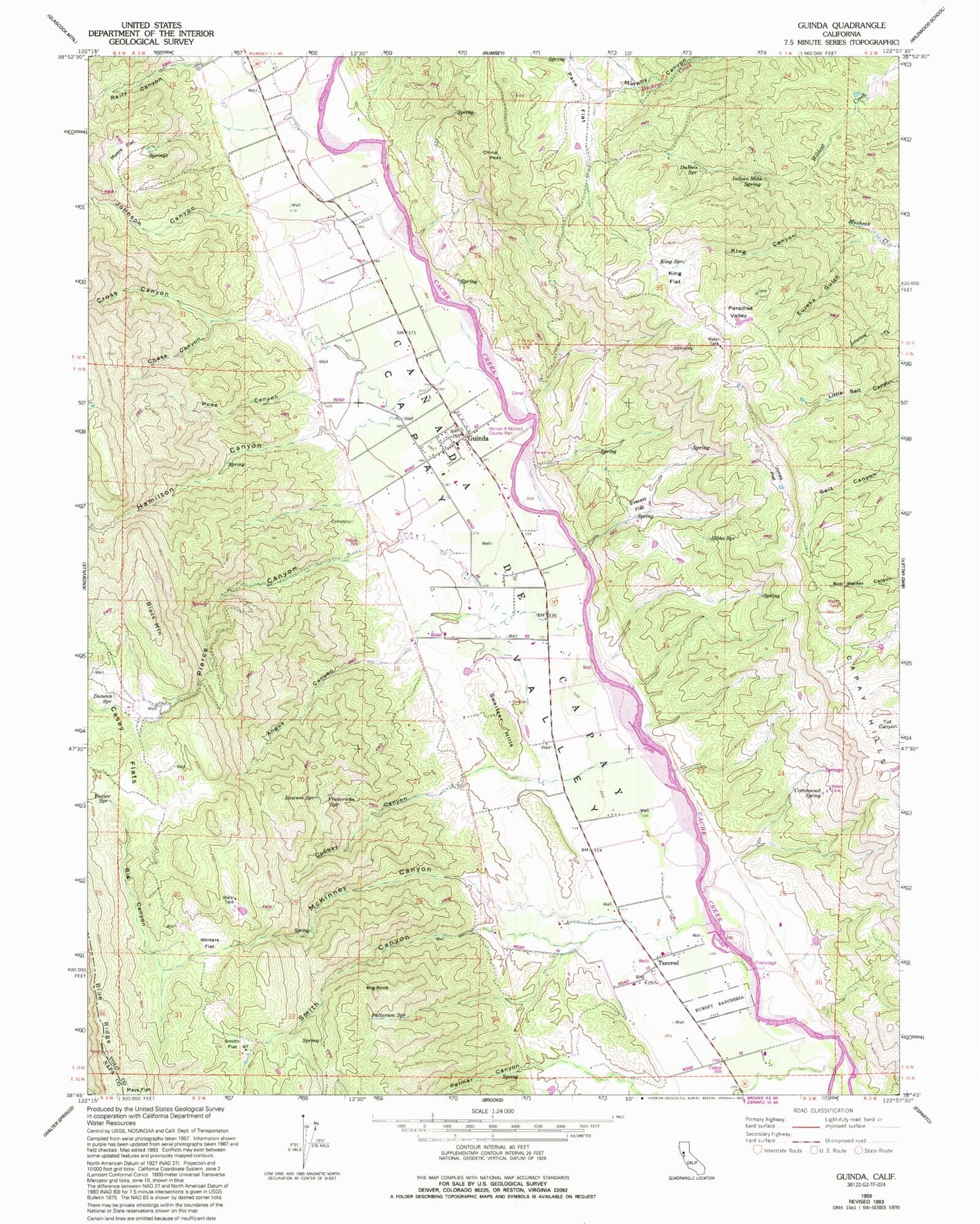
Classic USGS Guinda California 7.5'x7.5' Topo Map
Couldn't load pickup availability
Historical USGS topographic quad map of Guinda in the state of California. Map scale may vary for some years, but is generally around 1:24,000. Print size is approximately 24" x 27"
This quadrangle is in the following counties: Napa, Yolo.
The map contains contour lines, roads, rivers, towns, and lakes. Printed on high-quality waterproof paper with UV fade-resistant inks, and shipped rolled.
Contains the following named places: Angus Canyon, Big Canyon, Big Rock, Black Mountain, Brooks Creek, Butler Spring, Canada De Capay, Canon School, Capay Hills, Capay Valley Fire Protection District Guinda Station, Capell Creek, Casey Flats, Chase Canyon, China Peak, Cobbey Canyon, Community Methodist Church, Cottonwood Spring, Cross Canyon, DuBois Spring, Duncan Spring, Esparto Division, Eureka Gulch, Everett Flat, Fredericks Spring, Gibbs Spring, Guinda, Guinda Census Designated Place, Guinda Post Office, Hamilton Canyon, Hamilton Creek, Indian Mike Spring, Indian School, Johnson Canyon, Jones Flat, King Canyon, King Flat, King Spring, Lawson Spring, McKinney Canyon, Myers Flat, Pace Flat, Palmer Canyon, Paradise Valley, Patterson Spring, Pierce Canyon, Reiff Canyon, Rose Canyon, Smith Canyon, Smith Flat, Sweitzer Hills, Tancred, Tancred Census Designated Place, Vernon A Nichols County Park, Winters Flat, ZIP Codes: 95606, 95607, 95637


