MyTopo
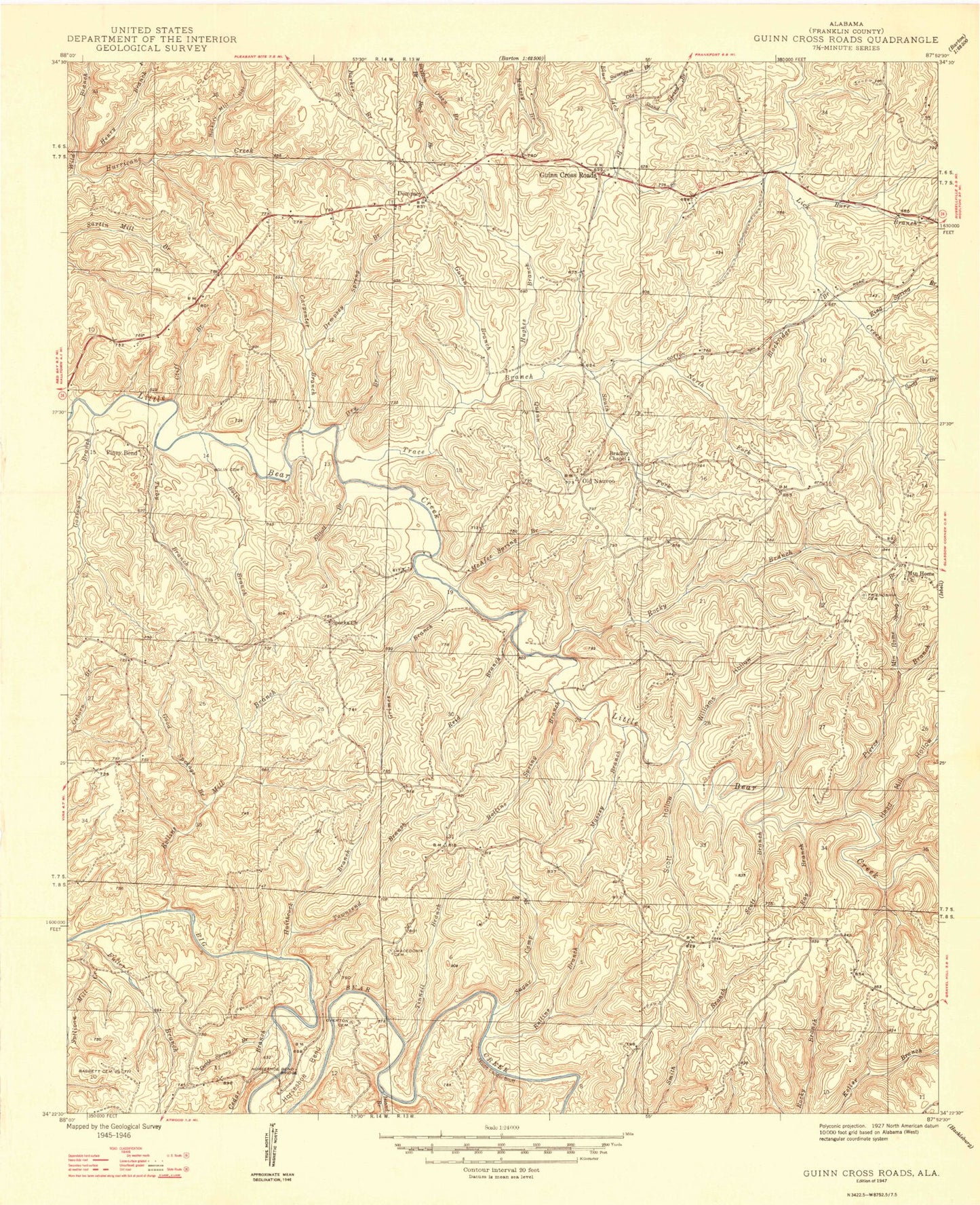
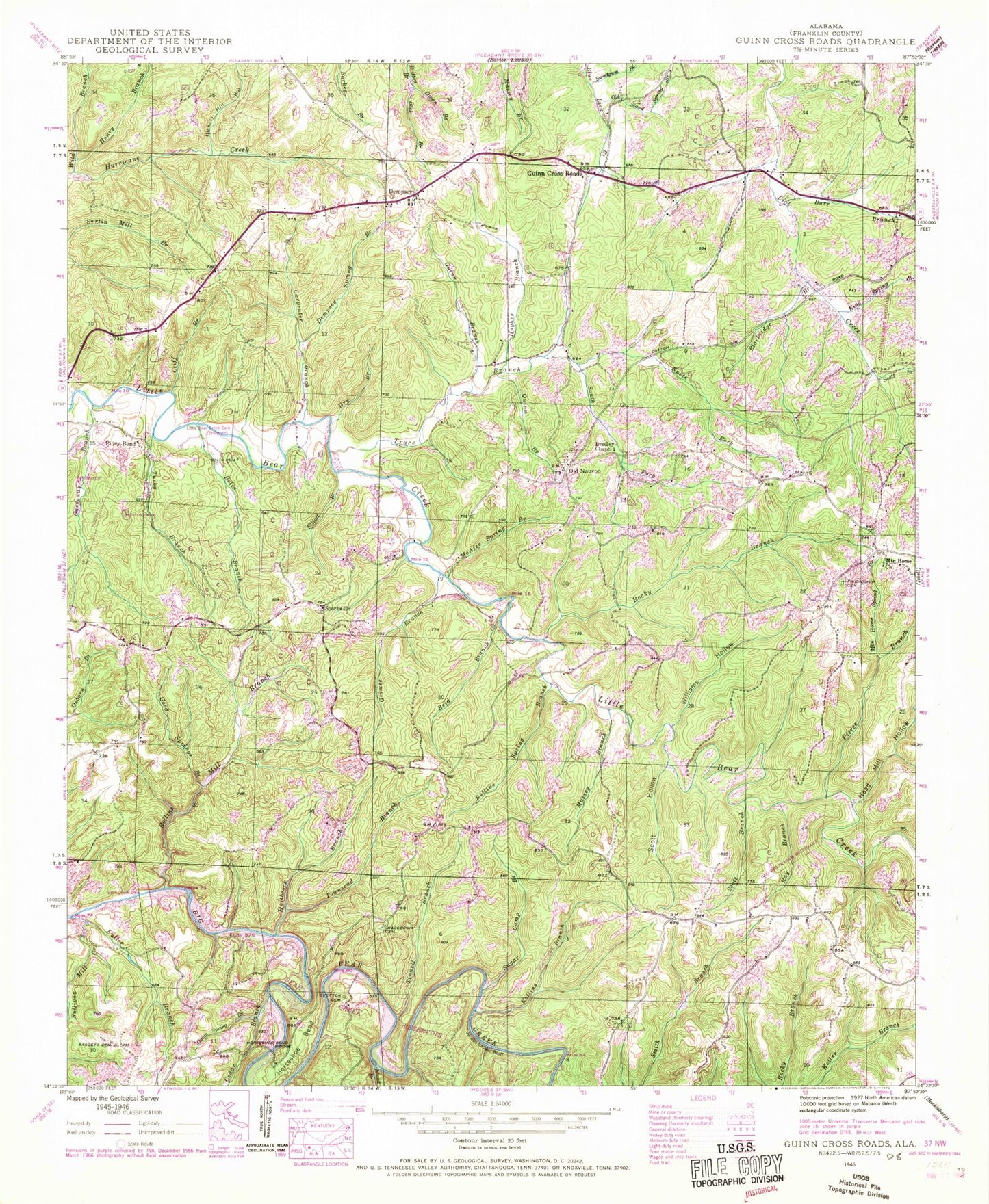
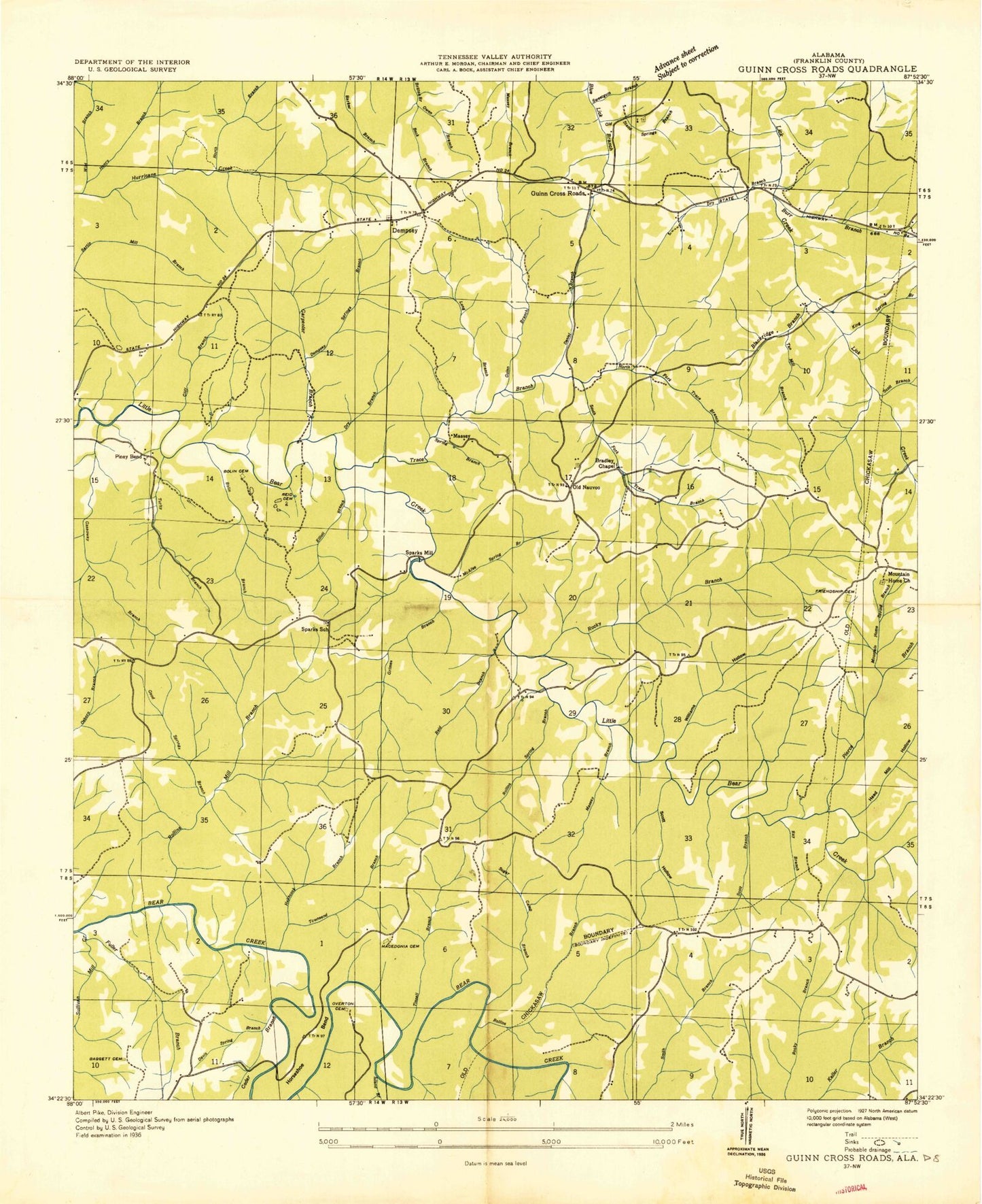
Classic USGS Guinn Cross Roads Alabama 7.5'x7.5' Topo Map
Couldn't load pickup availability
Historical USGS topographic quad map of Guinn Cross Roads in the state of Alabama. Map scale may vary for some years, but is generally around 1:24,000. Print size is approximately 24" x 27"
This quadrangle is in the following counties: Franklin.
The map contains contour lines, roads, rivers, towns, and lakes. Printed on high-quality waterproof paper with UV fade-resistant inks, and shipped rolled.
Contains the following named places: Baggett Cemetery, Bear Creek Dam, Bear Creek Reservoir, Beck Branch, Blackridge Branch, Bolin Branch, Bolin Cemetery, Bradley Chapel Church of Christ, Burr Branch, Carpenter Branch, Cedar Branch, Cliff Branch, Davis Spring Branch, Dempsey, Dempsey Cemetery, Dempsey Spring Branch, Double Springs School, Dry Branch, Elliott Branch, Five Points Church, Friendship Cemetery, Gassoway Branch, Good Springs Branch, Grimes Branch, Guinn Branch, Guinn Cross Roads, Haithcock Branch, Head Mill Hollow, Henry Branch, Hickory Mill Hollow, Horseshoe Bend, Horseshoe Bend Bridge, Hughes Branch, Island Branch, Jacobs Ladder Bluff, James Chapel Church, King Spring Branch, Little Bear Creek Dam, Macedonia Cemetery, Macedonia Church, Massey Branch, McAfee Spring Branch, Mountain Home Cemetery, Mountain Home Church, Mountain Home Spring Branch, North Fork Trace Branch, Old Nauvoo, Old Stand Spring Branch, Overton Cemetery, Owen Branch, Pierce Branch, Piney Bend, Piney Point Recreation Area, Quinn Branch, Ray Branch, Reid Branch, Rocky Branch, Rollins Branch, Rollins Mill Branch, Rollins School, Rollins Spring Branch, Scott Branch, Scott Hollow, South Fork Trace Branch, Sparks Cemetery, Sparks Church, Sparks School, Sugar Camp Branch, Sullivan Mill Creek, Sweetgum Branch, Tinnell Branch, Townsend Branch, Trace Branch, Turby Branch, Wild Branch, Williams Hollow


